Near Vandalia in Montgomery County, Ohio — The American Midwest (Great Lakes)
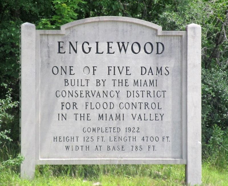
Englewood Dam
The Miami Conservancy
Erected by the Miami Conservancy District.
Topics. This historical marker is listed in these topic lists: Bridges & Viaducts • Charity & Public Work • Waterways & Vessels. A significant historical year for this entry is 1922.
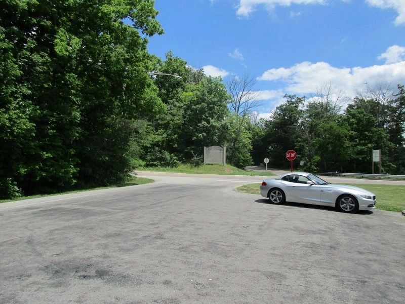
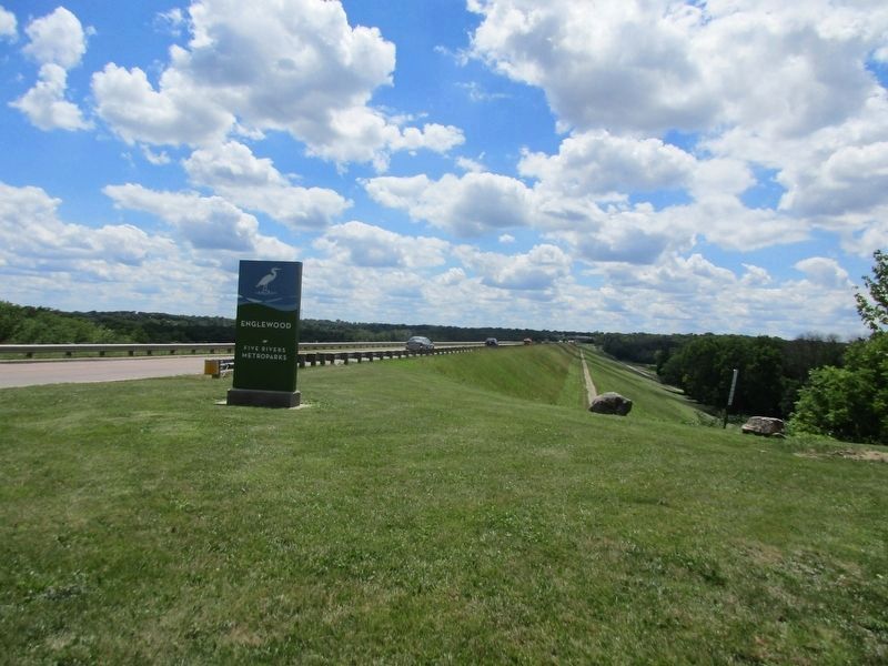
Location. 39° 52.526′ N, 84° 16.617′ W. Marker is near Vandalia, Ohio, in Montgomery County. Marker is at the intersection of West National Road (U.S. 40) and Aullwood Road, on the right when traveling east on West National Road. marker is in the Englewood Five Rivers Metroparks. Touch for map. Marker is at or near this postal address: 4490 W National Rd, Vandalia OH 45377, United States of America. Touch for directions.
Other nearby markers. At least 8 other markers are within 5 miles of this marker, measured as the crow flies. The Miami Conservancy District (within shouting distance of this marker); Englewood (approx. 1.4 miles away); National Road US 40 (approx. 1.6 miles away); Englewood Veterans Monument (approx. 1.6 miles away); St Paul Lutheran Church Dog Leg Road, Dayton (approx. 2 miles away); Union Veterans Memorial (approx. 2.3 miles away); Vandalia Veterans Memorial (approx. 2.9 miles away); The Crossroads of America (approx. 4.2 miles away). Touch for a list and map of all markers in Vandalia.
Credits. This page was last revised on July 4, 2016. It was originally submitted on July 1, 2016, by Rev. Ronald Irick of West Liberty, Ohio. This page has been viewed 446 times since then and 48 times this year. Photos: 1, 2. submitted on July 1, 2016, by Rev. Ronald Irick of West Liberty, Ohio. 3, 4. submitted on July 2, 2016, by Rev. Ronald Irick of West Liberty, Ohio. • Bill Pfingsten was the editor who published this page.


