Near Lander in Fremont County, Wyoming — The American West (Mountains)
Popo Agie Power

Photographed By Barry Swackhamer, May 29, 2016
1. Popo Agie Power Marker
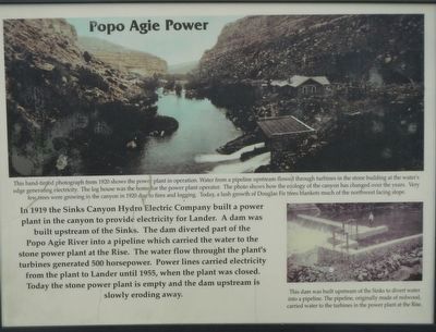
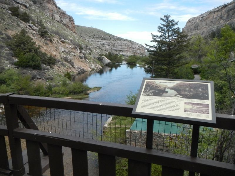
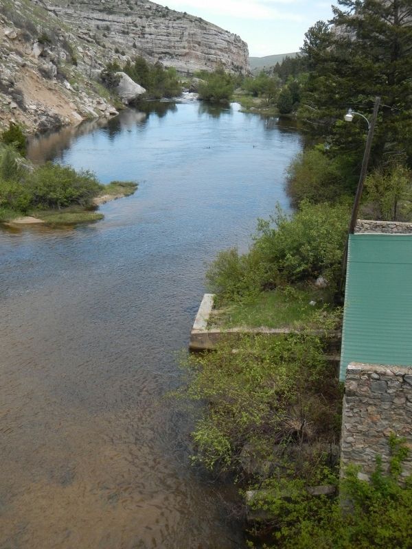
Captions: (top) This hand-tinted photograph from 1920 shows the power plant in operation. Water from a pipeline upstream flowed through turbines in the stone building at the water’s edge generating electricity. The log house was the home for the power plant operator. The photo shows how the ecology of the canyon has changed over the years. Very few trees were growing in the canyon in 1920 due to fires and logging. Today, a lush growth of Douglas Fir trees blankets much of the northwest facing slope.; (bottom right) This dam was built upstream of the Sinks to divert water into a pipeline. The pipeline, originally made of redwood, carried water to the turbines in the power plant at the Rise.
Erected by Wyoming State Parks and Cultural Resources.
Topics. This historical marker is listed in these topic lists: Industry & Commerce • Man-Made Features.
Location. 42° 45.159′ N, 108° 48.334′ W. Marker is near Lander, Wyoming, in Fremont County. Marker can be reached from Sinks Canyon Road (State Highway 131), on the right when traveling west. Touch for map. Marker is at or near this postal address: 3113 Sinks Canyon Road, Lander WY 82520, United States of America. Touch for directions.
Other nearby markers. At least 8 other markers are within 7 miles of this marker, measured as the crow flies. The Rise of the Sinks (within shouting distance of this marker); Sinks Canyon - Corridor to the Winds (approx. 0.4 miles away); "The Sinks" (approx. 0.4 miles away); Sinks Canyon (approx. half a mile away); Site of Fort Augur (approx. 6.7 miles away); Noble Lane Building (approx. 6.7 miles away); Fremont Hotel (approx. 6.7 miles away); M.N Baldwin Co. (approx. 6.7 miles away). Touch for a list and map of all markers in Lander.
More about this marker. This marker is located in Sinks Canyon State Park, about 7 miles southwest of Lander.
Credits. This page was last revised on July 14, 2016. It was originally submitted on July 14, 2016, by Barry Swackhamer of Brentwood, California. This page has been viewed 521 times since then and 14 times this year. Photos: 1, 2, 3. submitted on July 14, 2016, by Barry Swackhamer of Brentwood, California.

