Williamsport in Washington County, Maryland — The American Northeast (Mid-Atlantic)
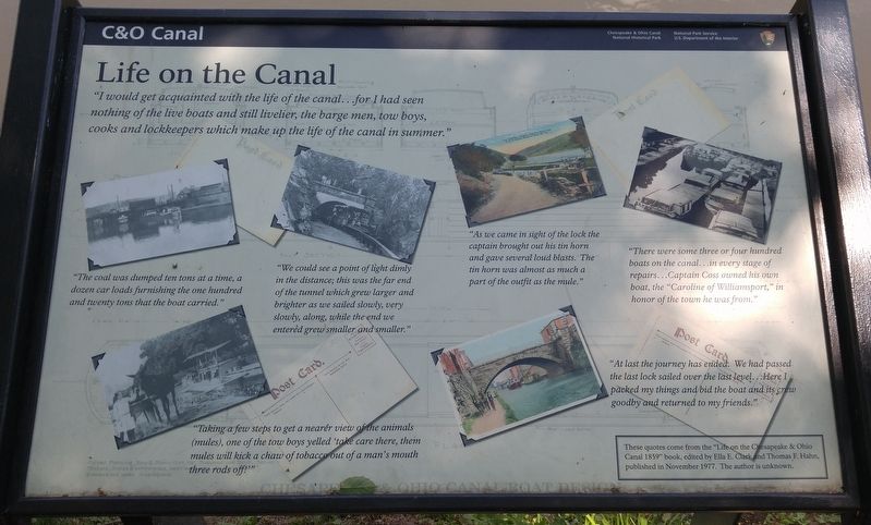
Life on the Canal
C&O Canal
[text with photos left from right, top to bottom]
[1] "The coal was dumped ten tons at a time, a dozen car loads furnishing the one hundred and twenty tons that the boat carried."
[2] "We could see a point of light dimly in the distance; this was the far end of the tunnel which grew larger and brighter as we sailed slowly, very slowly, along, while the end we entered frew smaller and smaller."
[3] "As we came in sight of the lock the captain brought out his tin horn and gave several loud blasts. The tin horn was almost as much a part of the outfit as the mule."
[4] "There were some three or four hundred boats on the canal...in every stage of repairs...Captain Coss owned his own boat, the "Caroline of Williamsport," in honor of the town he was from."
[5] "Taking a few steps to get a nearer view of the animals (mules), one of the tow boys yelled 'take care there, them mules will kick a chaw of tobacco out of a man's mouth three rods off!'"
[6] "At last the journey has ended. We had passed the last lock sailed over the last level...Here I packed my things and bid the boat and its crew goodby and returned to my friends."
These quotes come from the "Life on the Chesapeake & Ohio Canal 1859" book, edited by Ella E. Clark and Thomas F. Hahn, published in November 1977. The author is unknown.
Erected by National Park Service.
Topics. This historical marker is listed in this topic list: Waterways & Vessels. A significant historical month for this entry is November 1977.
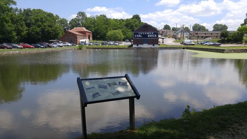
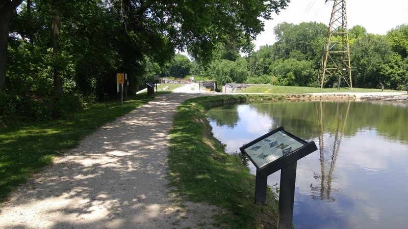
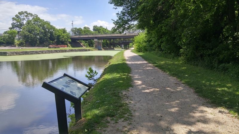
Location. 39° 36.036′ N, 77° 49.65′ W. Marker is in Williamsport, Maryland, in Washington County. Marker can be reached from Potomac Street (U.S. 11). Marker is along the C&O Canal Towpath, right next to the Cushwa Basin, and about 200 feet south of the Conococheaque Aqueduct. Touch for map. Marker is in this post office area: Williamsport MD 21795, United States of America. Touch for directions.
Other nearby markers. At least 8 other markers are within walking distance of this marker. Williamsport (a few steps from this marker); C & O Canal Aqueduct (a few steps from this marker); Gettysburg Campaign (a few steps from this marker); Cushwa Basin/Williamsport (a few steps from this marker); Welcome to Williamsport (about 400 feet away, measured in a direct line); The C&O Canal in Williamsport (about 400 feet away); C&O Canal (about 400 feet
away); a different marker also named Life on the Canal (about 400 feet away). Touch for a list and map of all markers in Williamsport.
More about this marker. This marker appears to have replaced the "Creating a National Park" marker that was here in 2012. It is currently (2016) the only marker located in the narrow area between the tow path and the basin.
Credits. This page was last revised on July 17, 2016. It was originally submitted on July 17, 2016, by F. Robby of Baltimore, Maryland. This page has been viewed 336 times since then and 23 times this year. Photos: 1, 2, 3, 4. submitted on July 17, 2016, by F. Robby of Baltimore, Maryland.


