Williamsport in Washington County, Maryland — The American Northeast (Mid-Atlantic)
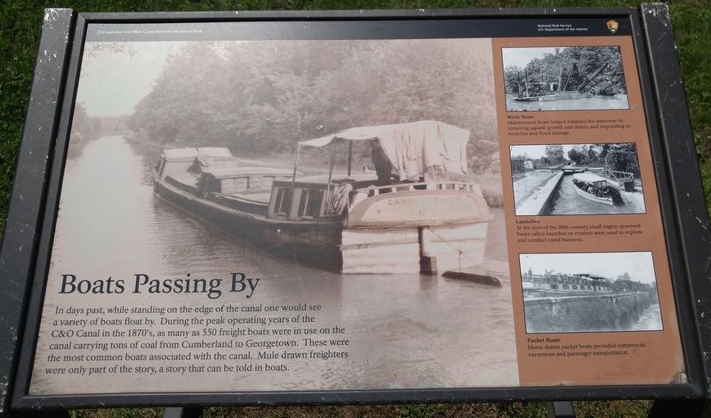
Boats Passing By
[text with top right photo] Work Boats. Maintenance boats helped maintain the waterway by removing aquatic growth and debris, and responding to breaches and flood damage.
[text with middle right photo] Launches. At the turn of the 20th century small engine-powered boats called launches or cruisers were used to explore and conduct canal business.
[text with bottom right photo] Packet Boats. Horse drawn packet boats provided commercial excursions and passenger transportation.
Topics. This historical marker is listed in this topic list: Waterways & Vessels.
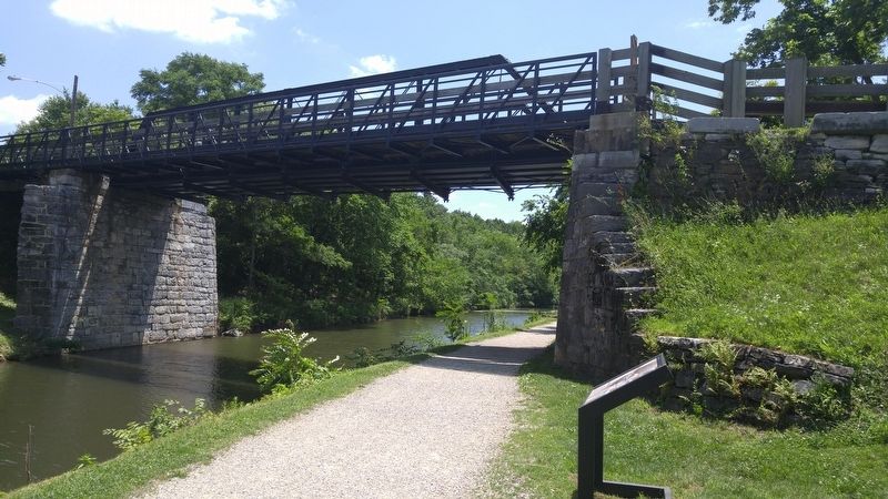
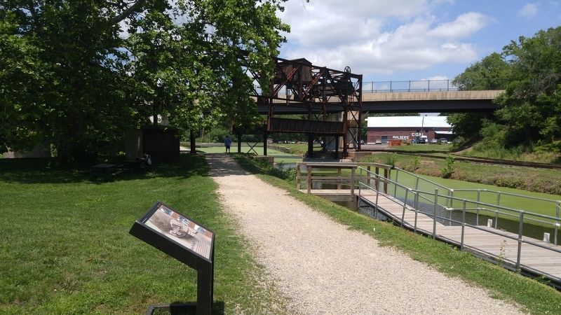
Location. 39° 35.952′ N, 77° 49.595′ W. Marker is in Williamsport, Maryland, in Washington County. Marker is on Salisbury Street, 0.1 miles west of Commerce Street, on the right when traveling west. Marker is along the canal tow path, at the base of the Salisbury Street bridge that crosses over the canal. Touch for map. Marker is in this post office area: Williamsport MD 21795, United States of America. Touch for directions.
Other nearby markers. At least 8 other markers are within walking distance of this marker. The C&O Canal in the Civil War at Williamsport (within shouting distance of this marker); Doubleday Hill (about 400 feet away, measured in a direct line); Light's Ford and Lemen's Ferry (about 400 feet away); Abner Doubleday (about 400 feet away); a different marker also named Doubleday Hill (about 400 feet away); Welcome to Williamsport (about 500 feet away); The C&O Canal in Williamsport (about 500 feet away); Life on the Canal (about 600 feet away). Touch for a list and map of all markers in Williamsport.
Credits. This page was last revised on July 17, 2016. It was originally submitted on July 17, 2016, by F. Robby of Baltimore, Maryland. This page has been viewed 328 times since then and 12 times this year. Photos: 1, 2, 3. submitted on July 17, 2016, by F. Robby of Baltimore, Maryland.


