Big Island in Bedford County, Virginia — The American South (Mid-Atlantic)
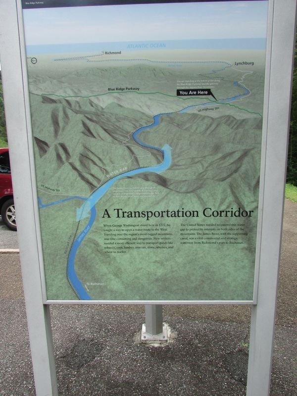
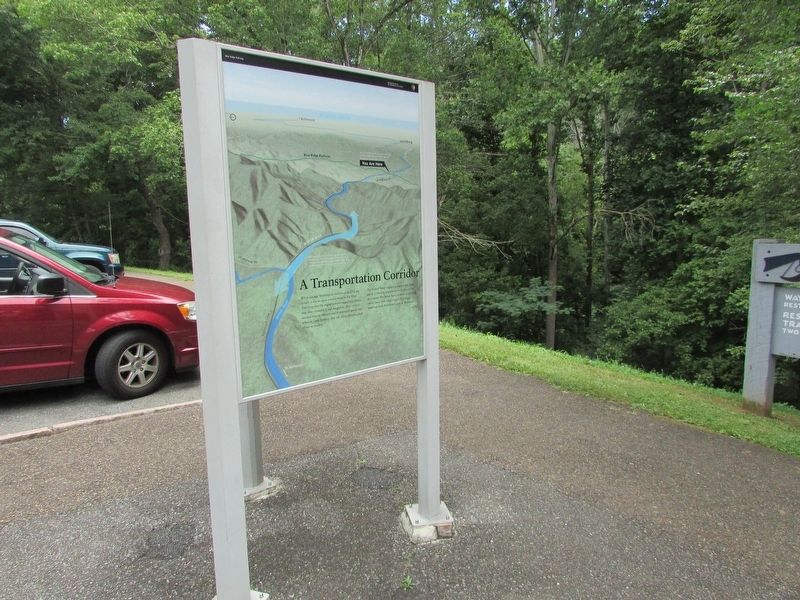
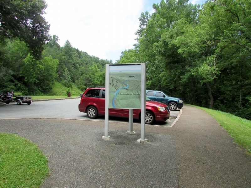
A Transportation Corridor
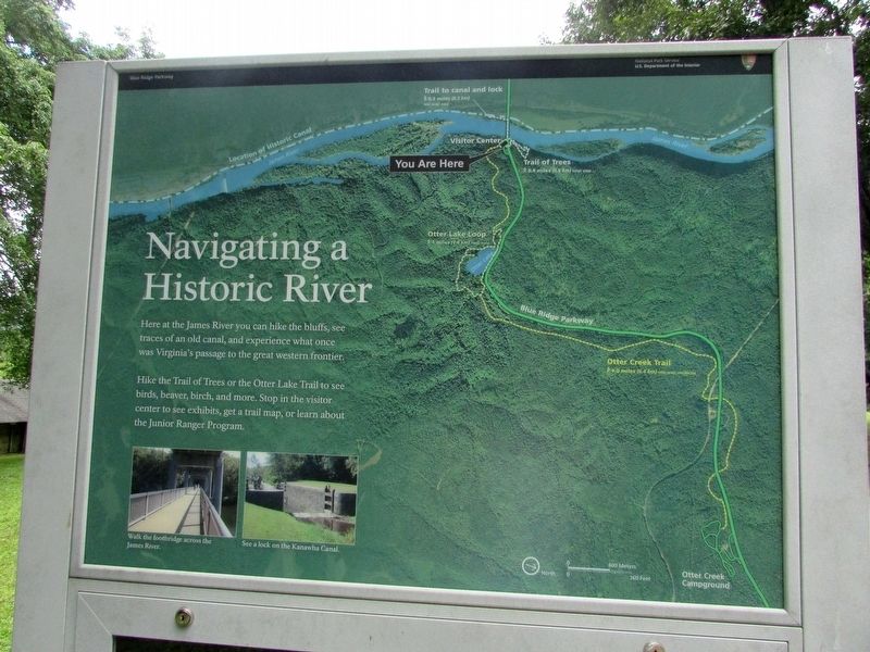
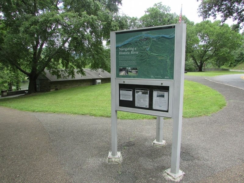
Navigating a Historic River
When George Washington stood here in 1772, he sought a way to open a water route to the West. Traveling over the regionís most rugged mountains was time consuming and dangerous. New settlers needed a more efficient way to transport goods like tobacco, corn, lumber, iron ore, stone, whiskey, and wheat to market.
The United States needed to control this water gap to protect its interests on both sides of the mountains. The James River, with the supporting canal, was a vital commercial and strategic waterway from Richmondís port to Buchanan.
You are standing at the lowest point along the Blue Ridge Parkway and the gateway through the Appalachian Mountains.
The James River carved this gap through the mountains. The river and the Kanawha Canal created an important transportation route first by foot then by boat, train, and automobile.
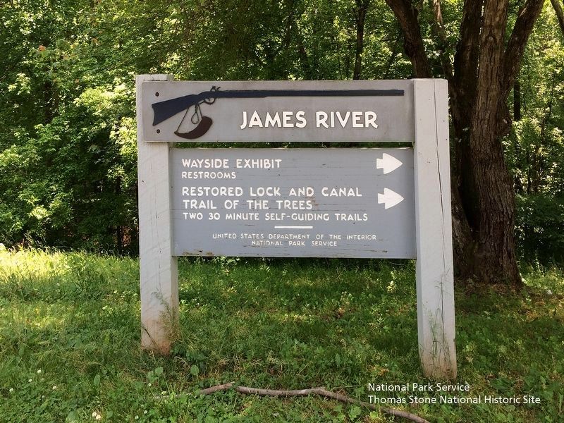
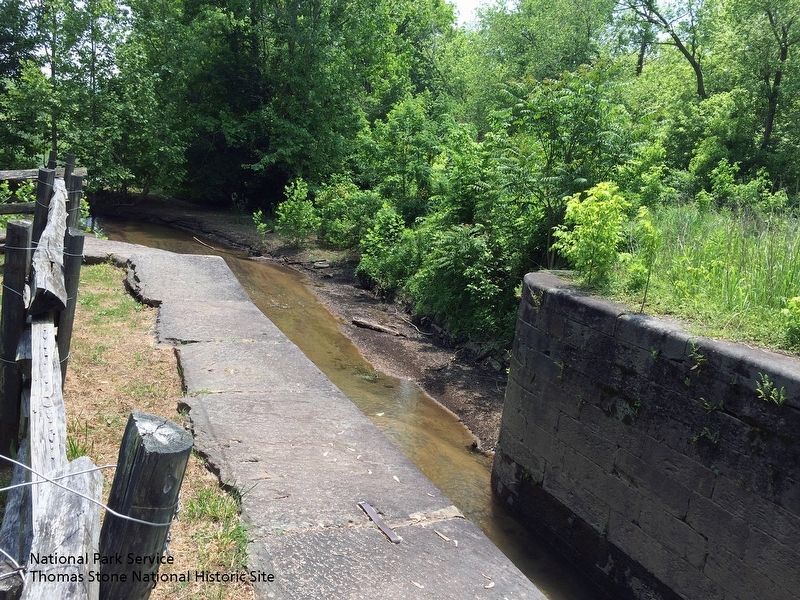
Here at the James River you can hike the bluffs, see traces of an old canal, and experience what once was Virginiaís passage to the great western frontier.
Hike the Trail of Trees or the Otter Lake Trail to see birds, beaver, birch, and more. Stop in the visitor center to see exhibits, get a trail map, or learn about the Junior Ranger Program.
Erected by National Park Service.
Topics and series. This historical marker is listed in this topic list: Waterways & Vessels. In addition, it is included in the Blue Ridge Parkway series list.
Location. 37° 33.318′ N, 79° 21.93′ W. Marker is on Big Island, Virginia, in Bedford County. Marker can be reached from Blue Ridge Parkway (at milepost 64), on the left when traveling south. Marker is located in the parking lot of the James River Visitor Center (MP 63.6), on the Blue Ridge Parkway. Touch for map. Marker is in this post office area: Big Island VA 24526, United States of America. Touch for directions.
Other nearby markers. At least 8 other markers are within 5 miles of this marker, measured as the crow flies. Harry F. Byrd Memorial Bridge (within shouting distance of this marker); James River (within shouting distance of this marker); Battery Creek Lock (about 300 feet away, measured in a direct line); Water Gap (about 300 feet away); a different marker also named Battery Creek Lock (about 300 feet away); A Lock Canal / A Lift Lock (about 400 feet away); The Lock Gate (about 500 feet away); The Courage Of Frank Padget (approx. 5.1 miles away). Touch for a list and map of all markers in Big Island.
More about this marker. The background of the marker contains a map of the area, indicating the location of the marker. Photos at the bottom of the marker contain the captions “Walk the footbridge across the James River.” and “See a lock on the Kanawha Canal.”
Also see . . . Blue Ridge Parkway | James River Canal Trail (MP 63.6). (Submitted on August 5, 2019.)
Credits. This page was last revised on August 6, 2019. It was originally submitted on July 18, 2016, by Bill Coughlin of Woodland Park, New Jersey. This page has been viewed 439 times since then and 19 times this year. Photos: 1, 2, 3, 4, 5. submitted on July 18, 2016, by Bill Coughlin of Woodland Park, New Jersey. 6, 7. submitted on August 5, 2019.
