Near Bayonne in Cherry County, Nebraska — The American Midwest (Upper Plains)
Opening the Sandhills
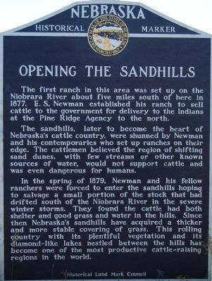
The sandhills, later to become the heart of Nebraska's cattle country, were shunned by Newman and his contemporaries who set up ranches on their edge. The cattlemen believed the region of shifting sand dunes, with few streams or other known sources of water, would not support cattle and was even dangerous for humans.
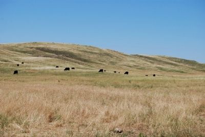
In the spring of 1879, Newman and his fellow ranchers were forced to enter the sandhills hoping to salvage a small portion of the stock that had drifted south of the Niobrara River in the severe winter storms. They found the cattle had both shelter and good grass and water in the hills. Since then Nebraska's sandhills have acquired a thicker and more stable covering of grass. This rolling country with its plentiful vegetation and its diamond-like lakes nestled between the hills has become one of the most productive cattle-raising regions in the world.
Erected by Nebraska State Historical Society. (Marker Number 4.)
Topics and series. This historical marker is listed in these topic lists: Agriculture • Settlements & Settlers. In addition, it is included in the Nebraska State Historical Society series list. A significant historical year for this entry is 1877.
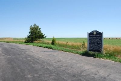
Location. 42° 47.999′ N, 102° 0.787′ W. Marker is near Bayonne, Nebraska, in Cherry County. Marker is on U.S. 20, on the right when traveling east. Touch for map. Marker is in this post office area: Merriman NE 69218, United States of America. Touch for directions.
Other nearby markers. At least 1 other marker is within 9 miles of this marker, measured as the crow flies. Lone Willow (approx. 8.7 miles away).
Credits. This page was last revised on June 16, 2016. It was originally submitted on July 27, 2008, by Dawn Bowen of Fredericksburg, Virginia. This page has been viewed 2,008 times since then and 23 times this year. Photos: 1, 2, 3. submitted on July 27, 2008, by Dawn Bowen of Fredericksburg, Virginia. • Kevin W. was the editor who published this page.


