Quintana in Brazoria County, Texas — The American South (West South Central)
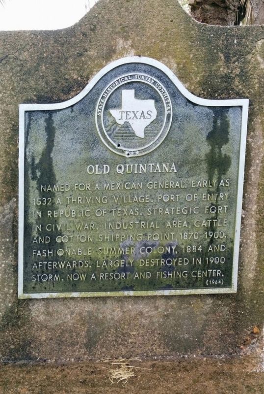
Old Quintana
Erected 1964 by State Historical Survey Committee. (Marker Number 9589.)
Topics. This historical marker is listed in these topic lists: Industry & Commerce • Settlements & Settlers • War, US Civil. A significant historical year for this entry is 1532.
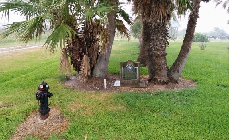
Location. 28° 56.024′ N, 95° 18.471′ W. Marker is in Quintana, Texas, in Brazoria County. Marker is on Burnett Street east of 8th Street, on the right when traveling east. Touch for map. Marker is in this post office area: Freeport TX 77541, United States of America. Touch for directions.
Other nearby markers. At least 8 other markers are within walking distance of this marker. Quintana Cemetery (about 500 feet away, measured in a direct line); Allen Place, 1883 (about 500 feet away); Confederate Civil War Forts at Mouth of Brazos (approx. 0.7 miles away); Republic of Texas Battery (approx. 0.7 miles away); First Republic of Texas Navy: 1835-1837 (approx. 0.7 miles away); Brown-Hoskins Hotel and Tavern (approx. 0.7 miles away); Santa Anna signed Treaties of Velasco (approx. 0.7 miles away); The San Felipe Incident (approx. ¾ mile away). Touch for a list and map of all markers in Quintana.
Also see . . . Quintana article in Handbook of Texas Online. (Submitted on July 30, 2016, by Gregory Walker of La Grange, Texas.)
Additional commentary.
1. Date on marker is in error.
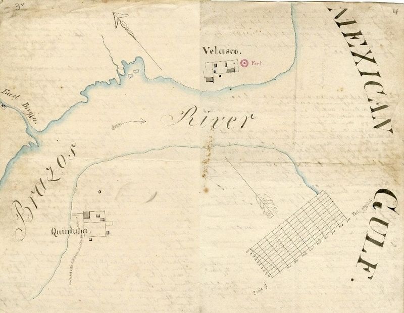
This marker appears to have an error (also transcribed in the Inscription section), as the year 1532 should probably be 1832. This area was first settled as part of Austin's Colony beginning in 1821, although development at the mouth of the Brazos was delayed due to its low flood-prone location, lack of fresh water, game, timber and other building materials. Quintana's strategic location, though, caused some development beginning in the 1830's.
— Submitted April 5, 2024, by Chris Kneupper of Brazoria, Texas.
Credits. This page was last revised on April 11, 2024. It was originally submitted on July 30, 2016, by Gregory Walker of La Grange, Texas. This page has been viewed 670 times since then and 95 times this year. Last updated on April 5, 2024, by Chris Kneupper of Brazoria, Texas. Photos: 1, 2. submitted on July 30, 2016, by Gregory Walker of La Grange, Texas. 3. submitted on April 10, 2024, by Chris Kneupper of Brazoria, Texas. • Devry Becker Jones was the editor who published this page.


