DeValls Bluff in Prairie County, Arkansas — The American South (West South Central)
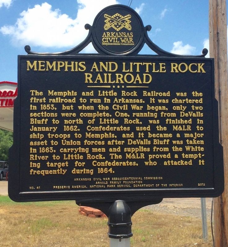
Memphis and Little Rock Railroad
The Memphis and Little Rock Railroad was the first railroad to run in Arkansas. It was chartered in 1853, but when the Civil War began, only two sections were complete. One, running from DeValls Bluff to north of Little Rock, was finished in January 1862. Confederates used the M&LR to ship troops to Memphis, and it became a major asset to Union forces after DeValls Bluff was taken in 1863, carrying men and supplies from the White River to Little Rock. The M&LR proved a tempting target for Confederates, who attacked it frequently during 1864.
Erected 2012 by Arkansas Civil War Sesquicentennial Commission, Arnold Family Foundation, ANCRC. (Marker Number 41.)
Topics and series. This historical marker is listed in these topic lists: Railroads & Streetcars • War, US Civil. In addition, it is included in the Arkansas Civil War Sesquicentennial Commission series list. A significant historical month for this entry is January 1862.
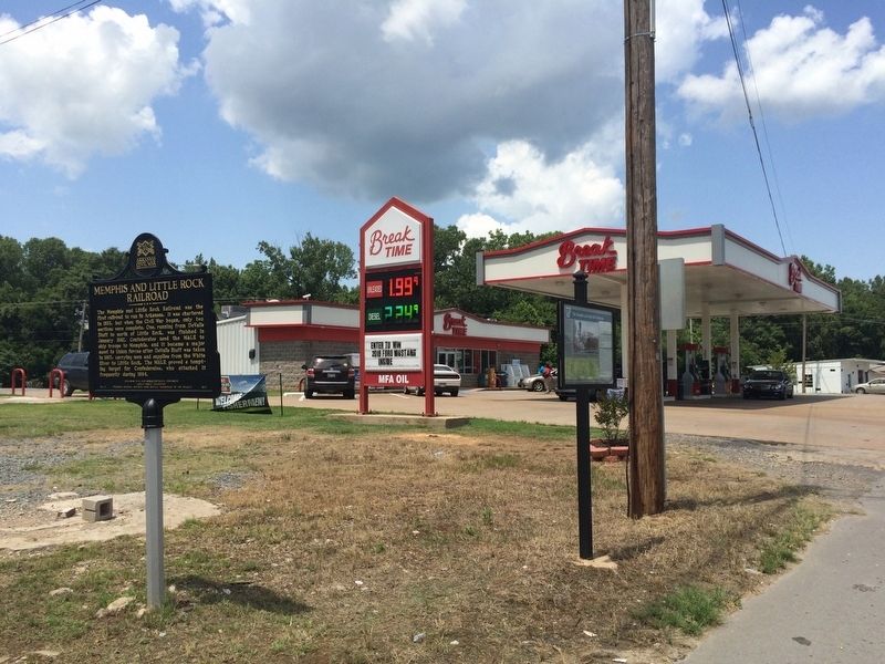
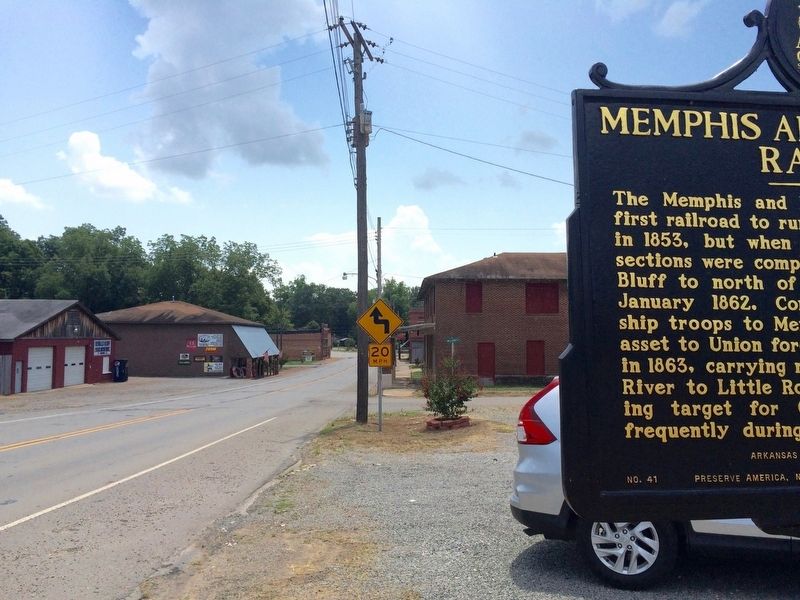
Location. 34° 47.164′ N, 91° 27.485′ W. Marker is in DeValls Bluff, Arkansas, in Prairie County. Marker is at the intersection of Main Street (State Highway 33) and Snyder Road, on the right when traveling south on Main Street. Located just left of the Break Time Gas Station. Touch for map. Marker is at or near this postal address: 160 N Main St, De Valls Bluff AR 72041, United States of America. Touch for directions.
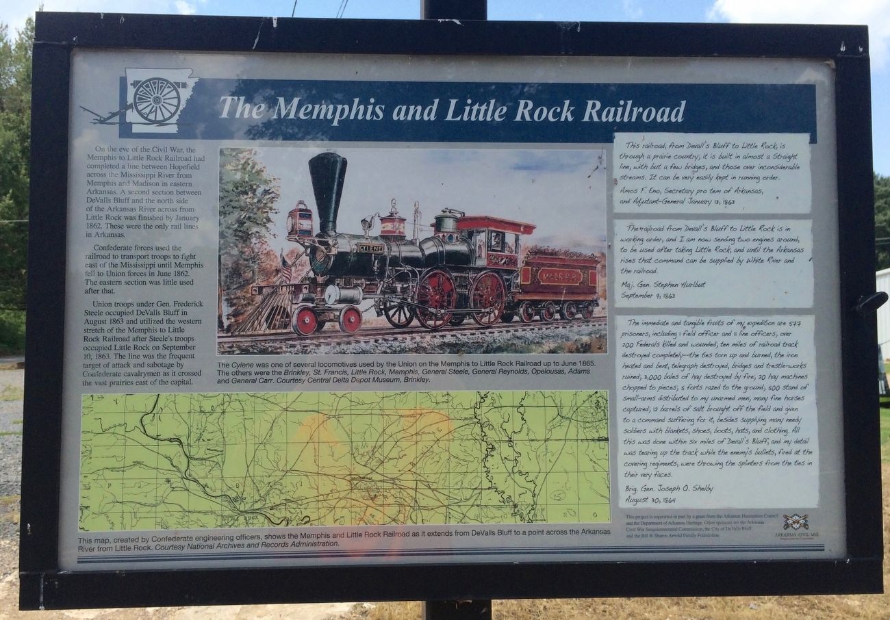
Other nearby markers. At least 8 other markers are within walking distance of this marker. A different marker also named The Memphis and Little Rock Railroad (here, next to this marker); Why DeValls Bluff (about 700 feet away, measured in a direct line); DeValls Bluff: A Major Union Riverport (about 700 feet away); DeValls Bluff Under Fire (about 700 feet away); War on the White River (about 700 feet away); DeValls Bluff in the Civil War (about 700 feet away); Common Ground for Many Soldiers (about 700 feet away); DeValls Bluff: A Key Union Base (about 700 feet away). Touch for a list and map of all markers in DeValls Bluff.
Also see . . . Memphis and Little Rock Railroad. Encyclopedia of Arkansas website entry (Submitted on August 3, 2016, by Mark Hilton of Montgomery, Alabama.)
Credits. This page was last revised on March 4, 2024. It was originally submitted on August 3, 2016, by Mark Hilton of Montgomery, Alabama. This page has been viewed 569 times since then and 44 times this year. Photos: 1, 2, 3, 4. submitted on August 3, 2016, by Mark Hilton of Montgomery, Alabama.


