Nags Head in Dare County, North Carolina — The American South (South Atlantic)
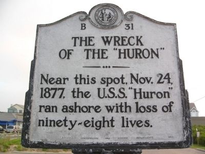
The Wreck of the Huron
Erected 1953 by Archives Conservation and Highway Departments. (Marker Number B-31.)
Topics and series. This historical marker is listed in these topic lists: Disasters • Waterways & Vessels. In addition, it is included in the North Carolina Division of Archives and History series list. A significant historical date for this entry is October 24, 1877.
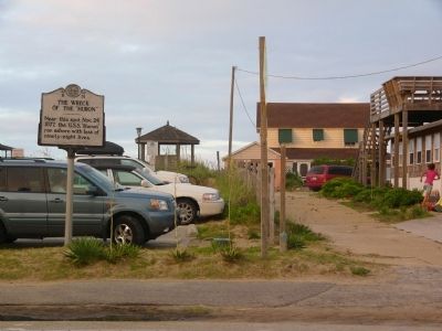
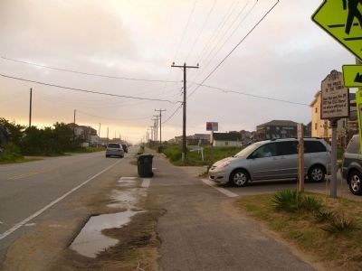
Location. Marker has been reported missing. It was located near 35° 58.559′ N, 75° 38.069′ W. Marker was in Nags Head, North Carolina, in Dare County. Marker was at the intersection of Virginia Dare Trail (State Highway 12) and East Bladen St, on the right when traveling north on Virginia Dare Trail. Touch for map. Marker was in this post office area: Nags Head NC 27959, United States of America. Touch for directions.
Other nearby markers. At least 8 other markers are within 4 miles of this location, measured as the crow flies. Wreck of the U.S.S. Huron (here, next to this marker); Jockey's Ridge (approx. 0.9 miles away); Dare County's Tribute to Veterans (approx. 2.9 miles away); Among Friends (approx. 3.1 miles away); The Conquest of the Air (approx. 3.1 miles away); A hospitable people... (approx. 3.1 miles away); 12 Seconds that Changed the World (approx. 3.1 miles away); Wright Brothers National Memorial (approx. 3.2 miles away).
Also see . . . USS Huron Historic Ship Preserve. Provides a short history and description of the USS Huron, as well as the story of its sinking and the part it played in the expansion of coastal rescue stations in North Carolina. Also provides a history of the wreck itself and its establishment as North Carolina's first Historic Shipwreck Preserve. (Submitted on July 29, 2008.)
Credits. This page was last revised on June 25, 2021. It was originally submitted on July 28, 2008, by Kevin W. of Stafford, Virginia. This page has been viewed 1,872 times since then and 50 times this year. Photos: 1, 2, 3. submitted on July 28, 2008, by Kevin W. of Stafford, Virginia.


