Corydon in Harrison County, Indiana — The American Midwest (Great Lakes)
St. Paul African Methodist Episcopal Church
Inscription.
Side one
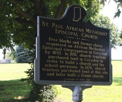
Free blacks and former slaves organized an African Methodist Episcopal congregation in Corydon by 1843. In 1851, church trustees purchased land in Corydon in order to build a church and for school purposes. In 1878, church trustees purchased land at this site and later built a frame church.
Side two
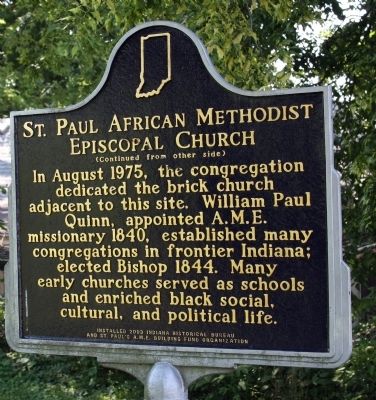
In August 1975, the congregation dedicated the brick church adjacent to this site. William Paul Quinn, appointed A.M.E. missionary 1840, established many congregations in frontier Indiana; elected Bishop 1844. Many early churches served as schools and enriched black social, cultural, and political life.
Erected 2003 by Indiana Historical Bureau & St. Paul's A.M.E. Building Fund Organization. (Marker Number 31.2003.3.)
Topics and series. This historical marker is listed in these topic lists: Abolition & Underground RR • African Americans • Churches & Religion. In addition, it is included in the African Methodist Episcopal (AME) Church, and the Indiana Historical Bureau Markers series lists. A significant historical year for this entry is 1843.
Location. 38° 12.793′ N, 86° 7.314′ W. Marker is in Corydon, Indiana, in Harrison County. Marker is on North Maple Street near East High Street, on the right when traveling north. Touch for map. Marker is in this post office area: Corydon IN 47112, United States of America. Touch for directions.
Other nearby markers. At least 8 other markers are within walking distance of this marker. Cedar Hill Cemetery (about 500 feet away, measured in a direct line); Early African American Education (about 500 feet away); Leora Brown School (about 500 feet away); First State Office Building (about 700 feet away); John Shields (approx. 0.2 miles away); Corydon (approx. 0.2 miles away); The Liar's Bench (approx. 0.2 miles away); Governor's Headquarters (approx. 0.2 miles away). Touch for a list and map of all markers in Corydon.
Also see . . . Photos of Dedication (Courtesy - Indiana Historical Bureau):. (Submitted on January 21, 2013, by Al Wolf of Veedersburg, Indiana.)
Credits. This page was last revised on June 16, 2016. It was originally submitted on July 31, 2008, by Al Wolf of Veedersburg, Indiana. This page has been viewed 1,855 times since then and 53 times this year. Photos: 1, 2, 3. submitted on July 31, 2008, by Al Wolf of Veedersburg, Indiana. • Christopher Busta-Peck was the editor who published this page.


