Near Belle Plaine in Sumner County, Kansas — The American Midwest (Upper Plains)
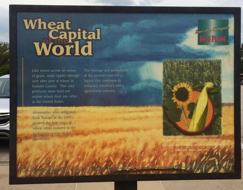
Wheat Capital of the World
— Tour the Turnpike - Belle Plaine —
Mennonites who emigrated from Europe in the 1870's planted the first crops of wheat while isolated in the vast, open spaces of the grasslands.
The courage and persistence of the pioneers has left a legacy that continues to influence America's entire agricultural industry.
Known primarily for its production of wheat, Kansas is also a leading producer of sorghum, sunflower seeds, and corn.
Erected by Kansas Turnpike Authority.
Topics. This historical marker is listed in these topic lists: Agriculture • Industry & Commerce.
Location. 37° 22′ N, 97° 19.349′ W. Marker is near Belle Plaine, Kansas, in Sumner County. Marker can be reached from Interstate 35 at milepost 26, in the median. Located in the Kansas Travel Information Center Rest Area near Belle Plaine Kansas. Touch for map. Marker is at or near this postal address: 770 North I-35, Belle Plaine KS 67013, United States of America. Touch for directions.
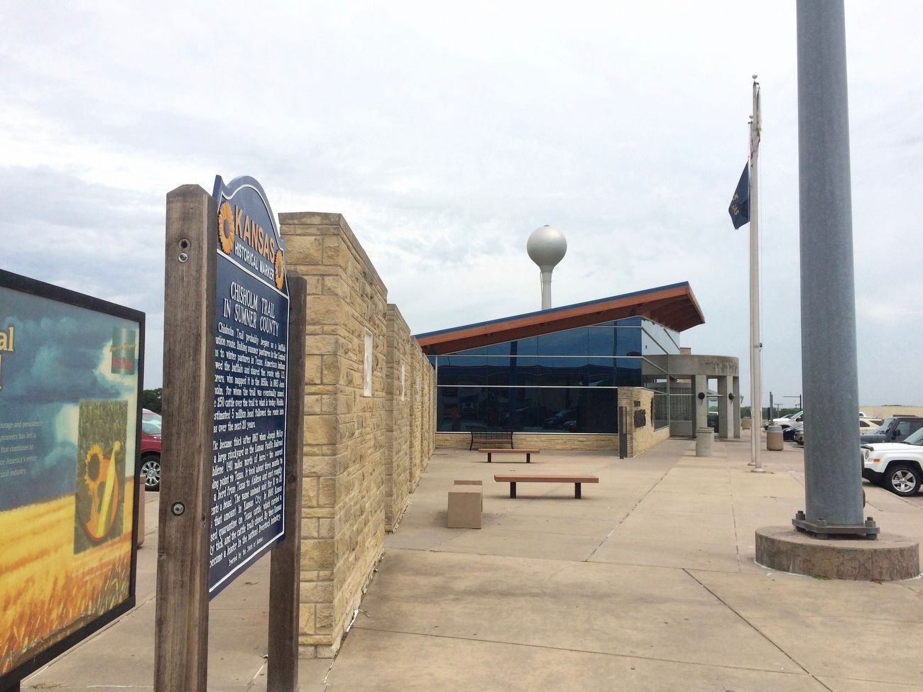
Other nearby markers. At least 2 other markers are within 8 miles of this marker, measured as the crow flies. Chisholm Trail in Sumner County (here, next to this marker); Bronze Field Guns (approx. 8.1 miles away).
Credits. This page was last revised on July 31, 2022. It was originally submitted on September 10, 2016, by Mark Hilton of Montgomery, Alabama. This page has been viewed 1,041 times since then and 142 times this year. Photos: 1, 2. submitted on September 10, 2016, by Mark Hilton of Montgomery, Alabama.
Editor’s want-list for this marker. A photo and inscription of the marker's reverse, entitled "High Flying". • Can you help?

