Georgetown in Northwest Washington in Washington, District of Columbia — The American Northeast (Mid-Atlantic)
M Street - A Road Well Traveled
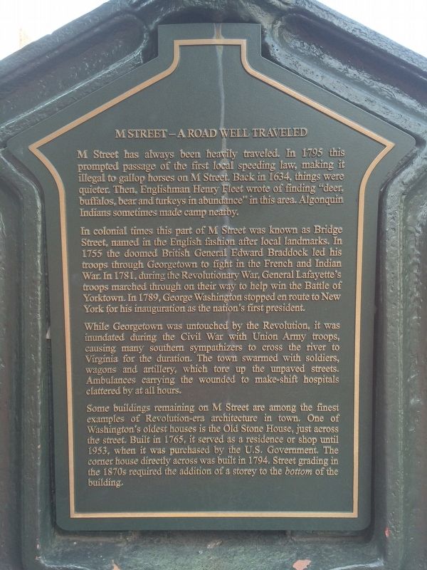
M Street has always been heavily traveled. In 1795 this prompted passage of the first local speeding law, making it illegal to gallop horses on M Street. Back in 1634, things were quieter. Then, Englishman Henry Fleet wrote of finding "deer, buffalos, bear, and turkeys in abundance" in this area. Algonquin Indians sometimes made camp nearby.
In colonial times this part of M Street was known as Bridge Street, named in the English fashion after local landmarks. In 1755 the doomed British General Edward Braddock led his troops through Georgetown to fight in the French and Indian War. In 1781, during the Revolutionary War, General Lafayette's troops marched through on their way to help win the Battle of Yorktown. In 1789, George Washington stopped in route to New York for his inauguration as the nation's first president.
While Georgetown was untouched by the Revolution, it was inundated during the Civil War with Union Army troops, causing many southern sympathizers to cross the river to Virginia for the duration. The town swarmed with soldiers, wagons and artillery, which tore up the unpaved streets. Ambulances carrying the wounded to make-shift hospitals clattered by at all hours.
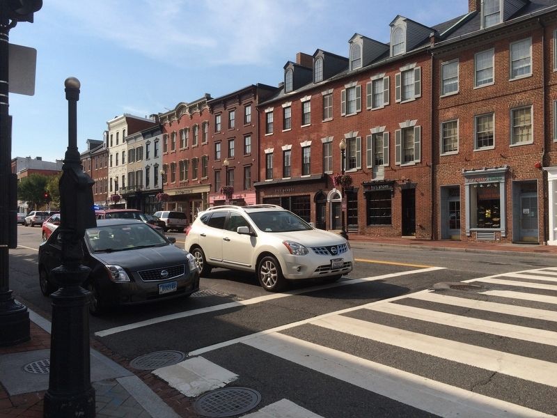
Some buildings remaining on M Street are among the finest examples of Revolution-era architecture in town. One of Washington's oldest houses is the Old Stone House, just across the street. Built in 1765, it served as a residence or shop until 1953, which it was purchased by the U.S. Government. The corner house directly across was built in 1794. Street grading in the 1870s required the addition of a storey to the bottom of the building.
Erected by Cultural Tourism DC.
Topics and series. This historical marker is listed in these topic lists: Architecture • Roads & Vehicles • Settlements & Settlers. In addition, it is included in the DC, Art on Call series list. A significant historical year for this entry is 1795.
Location. 38° 54.309′ N, 77° 3.557′ W. Marker is in Northwest Washington in Washington, District of Columbia. It is in Georgetown. Marker is at the intersection of M Street Northwest and 30th Street Northwest, on the right when traveling east on M Street Northwest. Touch for map. Marker is at or near this postal address: 3000 M Street Northwest, Washington DC 20007, United States of America. Touch for directions.
Other nearby markers. At least 8 other markers are within walking distance of this marker. Thomas Sim Lee Corner (a few steps from this marker); Ross and Getty House (within shouting distance of this marker); Nathan Loughborough's Houses (within shouting distance of this marker); The Only Constant is Change (about 300 feet away, measured in a direct line); Alfred Lee Feed and Grain Store
(about 300 feet away); Georgetown and the Chesapeake & Ohio Canal (about 300 feet away); Georgetown Historic District (about 300 feet away); William O. Douglas (about 300 feet away). Touch for a list and map of all markers in Northwest Washington.
Credits. This page was last revised on January 30, 2023. It was originally submitted on September 12, 2016, by J. Makali Bruton of Accra, Ghana. This page has been viewed 398 times since then and 28 times this year. Photos: 1, 2, 3, 4. submitted on September 12, 2016, by J. Makali Bruton of Accra, Ghana.


