The Battle of Locust Ridge
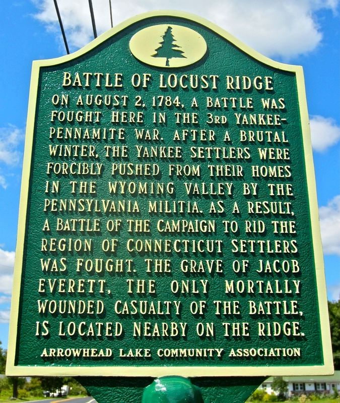
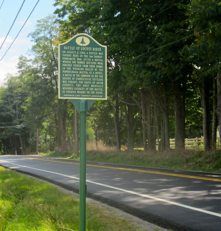
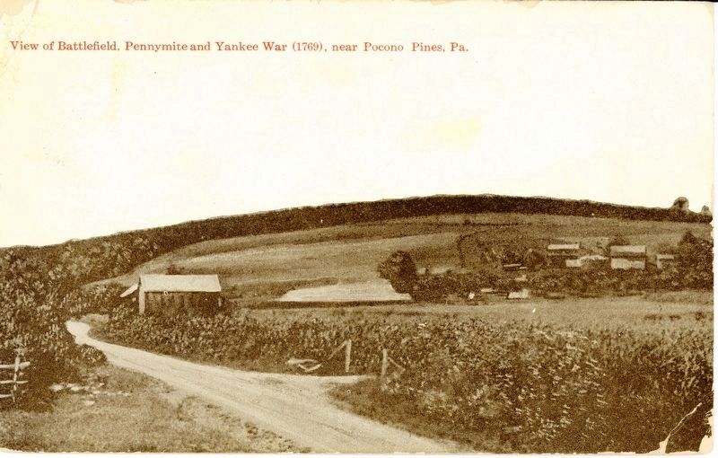
On August 2, 1784, a battle was fought here in the 3rd Yankee-Pennamite War. After a brutal winter, the Yankee Settlers were forcibly pushed from their homes in the Wyoming Valley by the Pennsylvania Militia. As a result, a battle of the campaign to rid the region of Connecticut settlers was fought. The grave of Jacob Everett, the only mortally wounded casualty of the battle, is located nearby on the ridge.
Arrowhead Lake Community Association
Erected 2016 by Arrowhead Lake Community Association.
Topics and series. This historical marker is listed in this topic list: Notable Events. In addition, it is included in the Pennsylvania History Tour, Tobyhanna Township series list. A significant historical date for this entry is August 2, 1784.
Location. 41° 7.8′ N, 75° 33.24′ W. Marker is near Pocono Pines, Pennsylvania, in Monroe County. It is in Tobyhanna Township. Marker is on Locust Ridge Road (County Road 4003) just south of Slutter Road, on the right when traveling north. Touch for map. Marker is at or near this postal address: 45 Locust Ridge Road, Pocono Lake PA 18347, United States of America. Touch for directions.
Other nearby markers. At least 8 other markers are within 4 miles of this marker, measured as the crow flies. Locust Ridge School (about 600 feet away, measured in a direct line); Eschenbach Cemetery (approx. 0.3 miles away); Wagner's Tree Farm
Also see . . . "The Battle of Locust Ridge Dedication Site". (Submitted on September 14, 2016, by William Fischer, Jr. of Scranton, Pennsylvania.)
Credits. This page was last revised on July 29, 2017. It was originally submitted on September 12, 2016, by Rick Bodenschatz of Pocono Pines, Pennsylvania. This page has been viewed 976 times since then and 41 times this year. Photos: 1, 2, 3. submitted on September 12, 2016, by Rick Bodenschatz of Pocono Pines, Pennsylvania. • Bill Pfingsten was the editor who published this page.


