Panama in Chautauqua County, New York — The American Northeast (Mid-Atlantic)
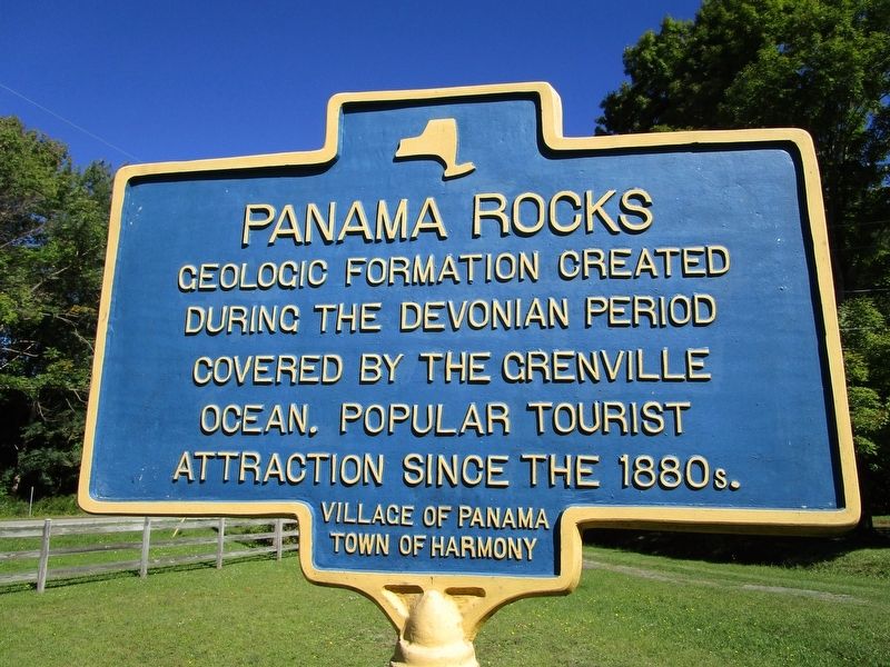
Panama Rocks
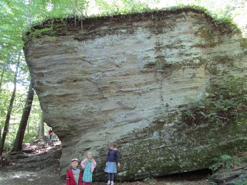
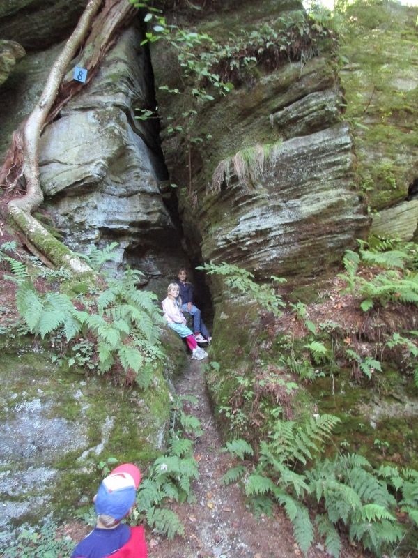
Geologic formation created
during the Devonian period
covered by the Grenville
Ocean. Popular tourist
attraction since the 1880s.
Erected by Village of Panama, Town of Harmony.
Topics. This historical marker is listed in this topic list: Natural Features. A significant historical year for this entry is 1880.
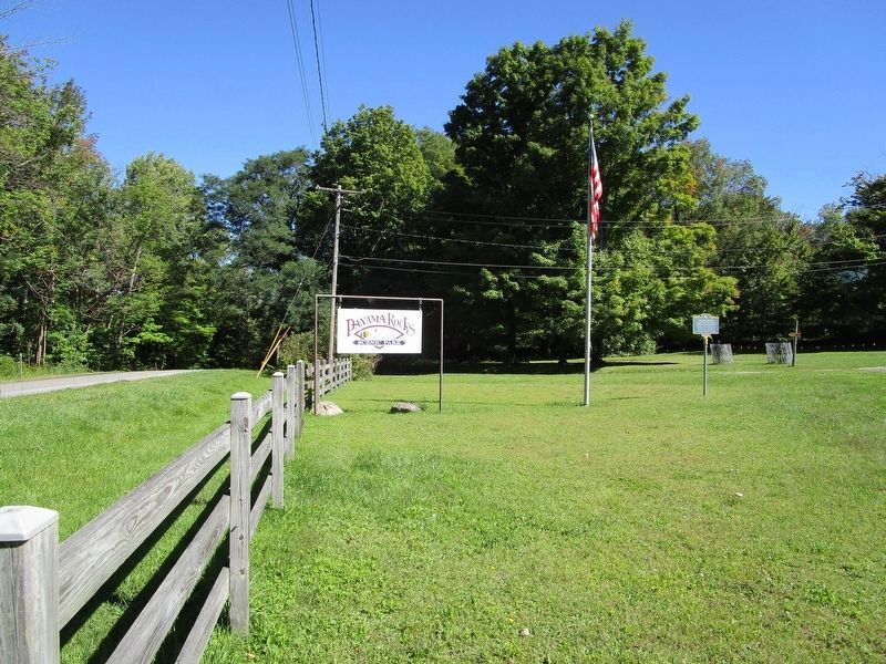
Location. 42° 4.393′ N, 79° 29.327′ W. Marker is in Panama, New York, in Chautauqua County. Marker is on Rock Hill Road (County Route 613) 0.2 miles south of Main Street (New York State Route 474), on the right when traveling east. Touch for map. Marker is at or near this postal address: 11 Rock Hill Road, Panama NY 14767, United States of America. Touch for directions.
Other nearby markers. At least 8 other markers are within 8 miles of this marker, measured as the crow flies. Roll-O-Bowl (approx. 3.1 miles away); B-24 Bomber Crash (approx. 4 miles away); Ashville Bell (approx. 6 miles away); All Gave Some (approx. 6 miles away); Ashville (approx. 6.1 miles away); Bemus Point - Stow Ferry (approx. 7˝ miles away); New York State Fish Hatchery (approx. 7.6 miles away); Bemus Point Hotels (approx. 7.6 miles away).
Also see . . . Panama Rocks Scenic Park. Official web site for the privately owned park. (Submitted on September 24, 2016, by Anton Schwarzmueller of Wilson, New York.)
Credits. This page was last revised on September 24, 2016. It was originally submitted on September 24, 2016, by Anton Schwarzmueller of Wilson, New York. This page has been viewed 613 times since then and 25 times this year. Photos: 1, 2, 3, 4. submitted on September 24, 2016, by Anton Schwarzmueller of Wilson, New York.


