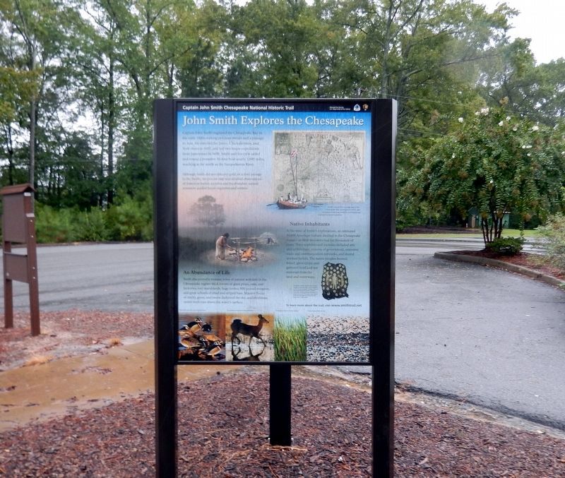
John Smith Explores the Chesapeake
Captain John Smith Chesapeake National Historic Trail
— National Park Service, U.S. Department of the Interior —
Captain John Smith explored the Chesapeake Bay in the early 1600s seeking precious metals and a passage to Asia. He traveled the James, Chickahominy, and York rivers in 1607, and led two major expeditions from Jamestown in 1608. Smith and his crew sailed and rowed a primitive 30-foot boat nearly 3,000 miles, reaching as far north as the Susquehanna River.
Although Smith did not discover gold, or a river to the Pacific, his precise map and detailed observations of American Indian societies and the abundant natural resources guided future explorers and settlers.
Native Inhabitants
At the time of Smith's explorations, an estimated 50,000 American Indians dwelled in the Chesapeake region—as their ancestors had for thousands of years. Their sophisticated societies included arts and architecture, systems of government, extensive trade and communication networks, and shared spiritual beliefs. The native people hunted, fished, grew crops, and gathered food and raw materials from the land and waterways.
An Abundance of Life
Smith discovered a treasure trove of natural wonders in the Chesapeake region: thick forests of giant pines, oaks, and hickories; vast marshlands, huge turtles, 800-pound sturgeon, and great schools of shad and striped bass. Massive flocks of ducks, geese, and swans darkened
To learn more about the trail visit www.smithtrail.net
Captions
Smith’s remarkably accurate map of the Chesapeake Bay (published in 1612), and his spirited written accounts of a lush landscape inspired European migration.
Decorative shells-such as those found on this ceremonial robe-were valuable in the American Indian’s trading network that extended for hundreds of miles. This robe (which may have belonged to paramount chief Powhatan) was crafted from four elk skins and adorned with more than 17,000 shells.
Wood ducks and other waterfowl flourished
The forests and lowlands teemed with deer
Cattails grew thick in pristine marshes
Flocks of geese filled the sky
Erected by National Park Service, U.S. Department of the Interior.
Topics and series. This historical marker is listed in these topic lists: Colonial Era • Exploration • Settlements & Settlers. In addition, it is included in the Captain John Smith Chesapeake National Historic Trail series list. A significant historical year for this entry is 1607.
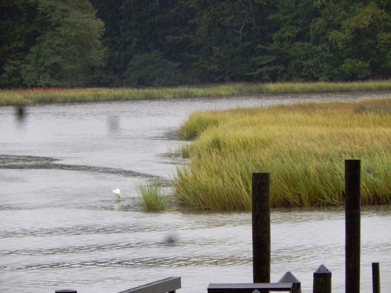
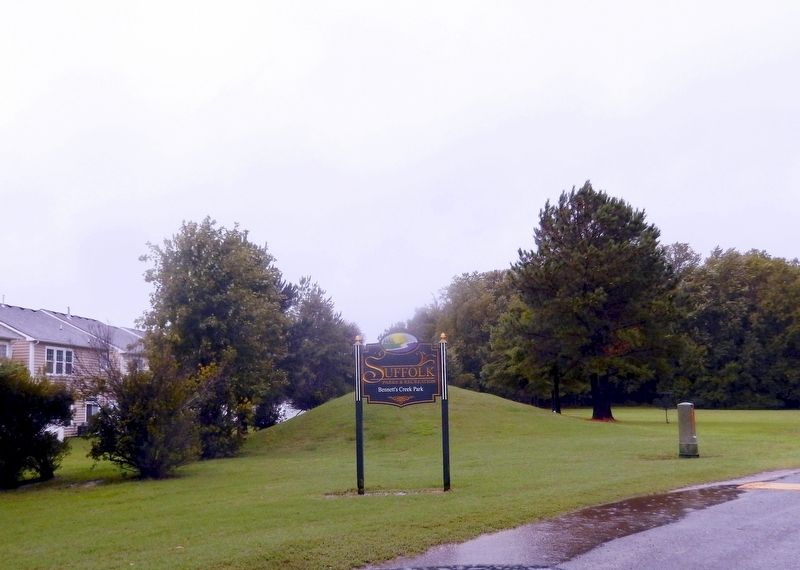
Location. 36° 51.05′ N, 76° 29.038′ W. Marker is in Suffolk, Virginia. It is in Sleepy Hole. Marker is on Bennetts Creek Park Road. The marker is located in Bennett's Creek
Other nearby markers. At least 8 other markers are within 3 miles of this marker, measured as the crow flies. Florence Graded School (approx. 1.9 miles away); Glebe Church (approx. 1.9 miles away); a different marker also named Glebe Church (approx. 2 miles away); Bennett's Home (approx. 2 miles away); Hargrove's Tavern (approx. 2 miles away); Sleepy Hole Ferry (approx. 2.1 miles away); Yeates School (approx. 2.1 miles away); James Bowser, Revolutionary Soldier (approx. 2.4 miles away). Touch for a list and map of all markers in Suffolk.
Credits. This page was last revised on February 1, 2023. It was originally submitted on September 30, 2016, by Don Morfe of Baltimore, Maryland. This page has been viewed 402 times since then and 24 times this year. Photos: 1, 2, 3, 4, 5, 6. submitted on September 30, 2016, by Don Morfe of Baltimore, Maryland. • Bill Pfingsten was the editor who published this page.
