Dearborn in Wayne County, Michigan — The American Midwest (Great Lakes)
Rouge River Water Quality Improvements
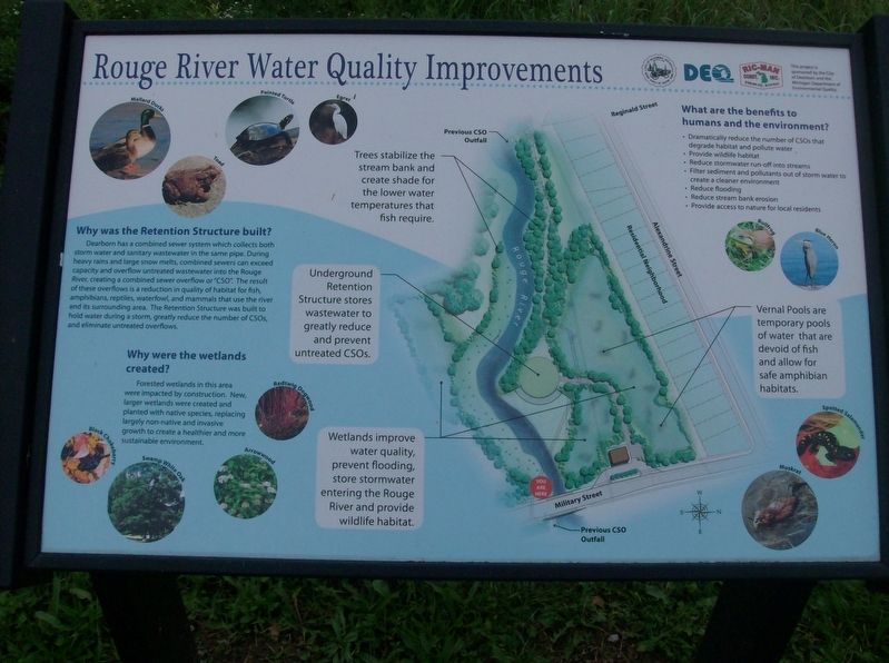
Why was the Retention Structure built?
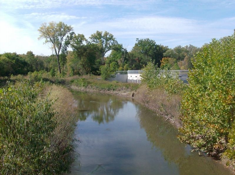
Dearborn has a combined sewer system which collects both storm water and sanitary wastewater in the same pipe. During heavy rains and large snow melts, combined sewers can exceed capacity and overflow untreated wastewater into the Rouge River, creating a combined sewer overflow or "CSO". The result of these overflows is a reduction in quality of habitat for fish, amphibians, reptiles, waterfowl, and mammals that use the river and its surrounding area. The Retention Structure was built to hold water during a storm, greatly reduce the number of CSOs, and eliminate untreated overflows.
Why were the wetlands created?
Forested wetlands in this area were impacted by construction. New, larger wetlands were created and planted with native species, replacing largely non-native and invasive growth to create a healthier and more sustainable environment.
What are the benefits to humans and the environment?
- Dramatically reduce the number of CSOs that degrade habitat and pollute water
- Provide wildlife habitat
- Reduce stormwater run-off into streams
- Filter sediment and pollutants out of storm water to create a cleaner environment
- Reduce flooding
- Reduce stream bank erosion
- Provide access to nature for local residents
Erected by City of Dearborn, Michigan Department of Environmental Quality.
Topics. This historical marker is listed in this topic list: Environment.
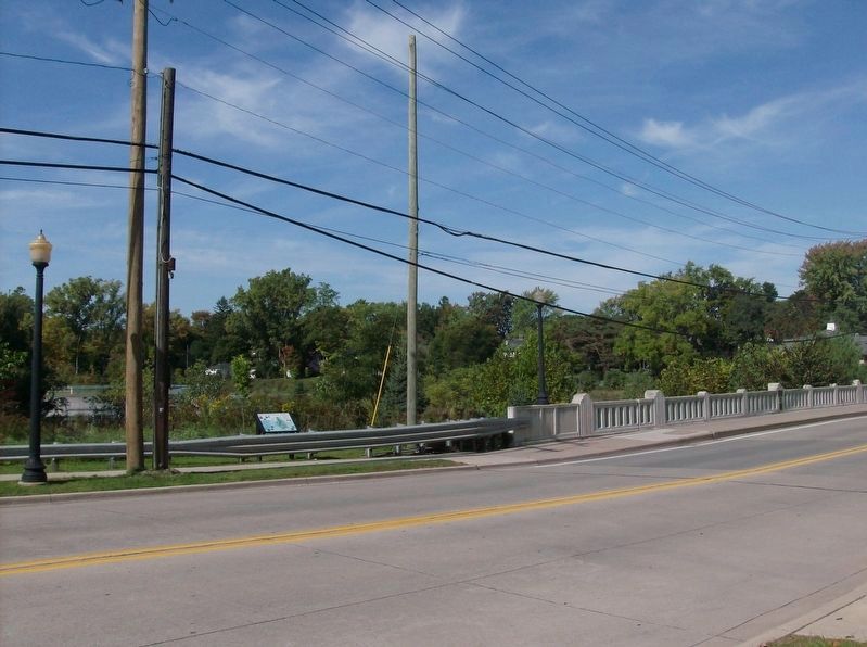
Location. 42° 18.497′ N, 83° 15.161′ W. Marker is in Dearborn, Michigan, in Wayne County. Marker is on South Military Street, 0.3 miles north of Michigan Avenue (U.S. 12), on the left when traveling north. Touch for map. Marker is in this post office area: Dearborn MI 48124, United States of America. Touch for directions.
Other nearby markers. At least 8 other markers are within walking distance of this marker. Charles A. Kandt House (about 700 feet away, measured in a direct line); Business Pioneers (about 700 feet away); Rhythm of Radio (approx. 0.3 miles away); Bryant Branch Library (approx. 0.4 miles away); Westward Welcome (approx. 0.4 miles away); U.S. Arsenal Officers' - Surgeons' Quarters and Barracks 1833 - 1875 (approx. 0.4 miles away); U.S. Arsenal 1833 - 1875 (approx. 0.4 miles away); U.S. Arsenal-Sutler's Shop (approx. 0.4 miles away). Touch for a list and map of all markers in Dearborn.
Credits. This page was last revised on October 11, 2016. It was originally submitted on October 9, 2016, by Joel Seewald of Madison Heights, Michigan. This page has been viewed 273 times since then and 12 times this year. Photos: 1. submitted on October 9, 2016, by Joel Seewald of Madison Heights, Michigan. 2, 3. submitted on October 11, 2016, by Joel Seewald of Madison Heights, Michigan.


