Near Cape Charles in Northampton County, Virginia — The American South (Mid-Atlantic)
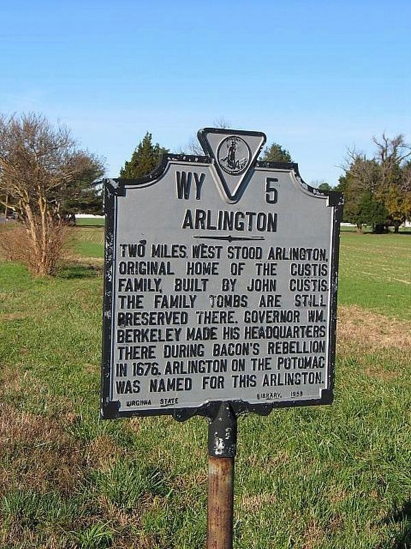
Arlington
Erected 1958 by Virginia State Library. (Marker Number WY-5.)
Topics and series. This historical marker is listed in these topic lists: Cemeteries & Burial Sites • Patriots & Patriotism • Settlements & Settlers. In addition, it is included in the Virginia Department of Historic Resources (DHR) series list. A significant historical year for this entry is 1670.
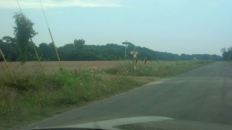
Location. Marker is missing. It was located near 37° 13.168′ N, 75° 59.114′ W. Marker was near Cape Charles, Virginia, in Northampton County. Marker could be reached from the intersection of Custis Tomb Drive and Arlington Road. Touch for map. Marker was in this post office area: Cape Charles VA 23310, United States of America. Touch for directions.
Other nearby markers. At least 8 other markers are within 4 miles of this location, measured as the crow flies. Mansion Site (approx. 1.2 miles away); Bacon's Rebellion (approx. 1.2 miles away); Indians (approx. 1.2 miles away); Slavery on the Eastern Shore (approx. 1.2 miles away); The Custis Tombs (approx. 1.2 miles away); Elijah Baker (approx. 2 miles away); a different marker also named Elijah Baker (approx. 2 miles away); Cape Charles Colored School (approx. 3.3 miles away). Touch for a list and map of all markers in Cape Charles.
Regarding Arlington. The marker reported destroyed, with no Commonwealth or Federal replacement funding available. It wll only be replaced if a private sponsor funds the undertaking.
Related markers. Click here for a list of markers that are related to this marker.
Also see . . . Photo of marker (2004). (Submitted on October 16, 2016, by Michael C. Wilcox of Winston-Salem, North Carolina.)
Credits. This page was last revised on July 8, 2021. It was originally submitted on October 12, 2016, by Michael C. Wilcox of Winston-Salem, North Carolina. This page has been viewed 377 times since then and 11 times this year. Photos: 1. submitted on March 24, 2021, by Larry Gertner of New York, New York. 2. submitted on October 12, 2016, by Michael C. Wilcox of Winston-Salem, North Carolina. • Bernard Fisher was the editor who published this page.

