Port Sanilac in Sanilac County, Michigan — The American Midwest (Great Lakes)
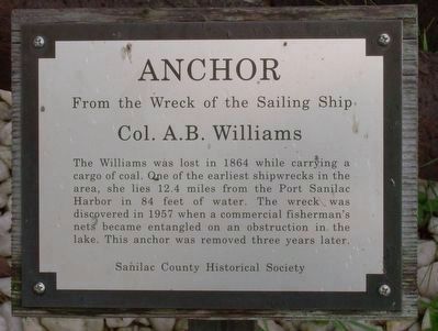
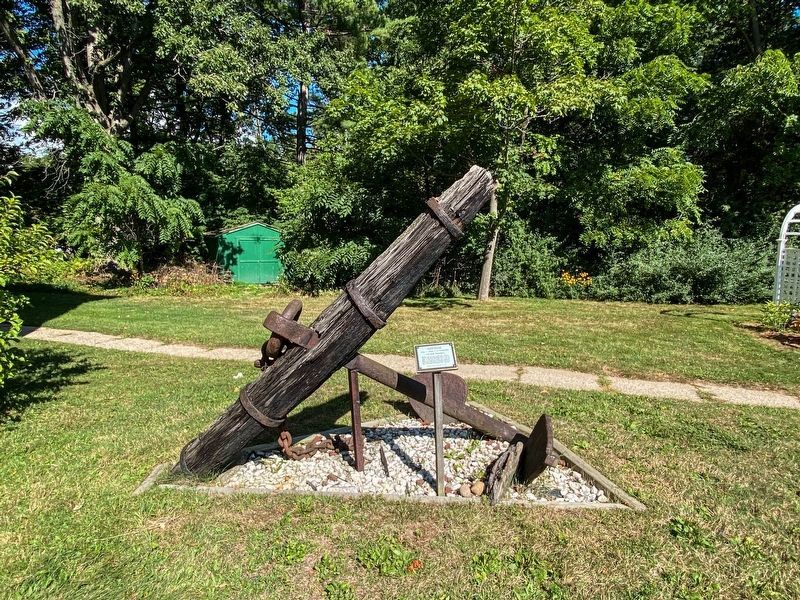
Anchor
From the wreck of the sailing ship Col. A.B. Williams
Erected by Sanilac County Historical Society.
Topics. This historical marker is listed in these topic lists: Disasters • Industry & Commerce • Waterways & Vessels. A significant historical year for this entry is 1863.
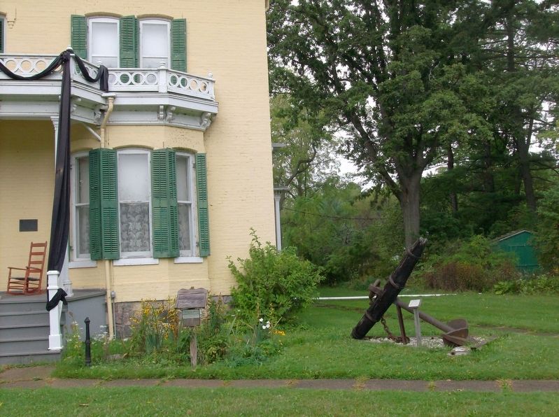
Location. 43° 25.481′ N, 82° 32.603′ W. Marker is in Port Sanilac, Michigan, in Sanilac County. Marker can be reached from South Ridge Street (State Highway 25) half a mile south of Main Street (State Highway 46). This marker is in front of the Loop-Harrison House on the grounds of the Sanilac County Historic Village and Museum. Touch for map. Marker is at or near this postal address: 228 South Ridge Street, Port Sanilac MI 48469, United States of America. Touch for directions.
Other nearby markers. At least 8 other markers are within walking distance of this marker. Loop-Harrison House (within shouting distance of this marker); Platt's General Store (within shouting distance of this marker); The Decker Crib Barn (about 300 feet away, measured in a direct line); Houndtown Cabin (about 400 feet away); The Forestville Church (about 400 feet away); Ward Cottage (about 400 feet away); Port Sanilac Light Station - 1886 (approx. 0.3 miles away); Screw (approx. 0.4 miles away). Touch for a list and map of all markers in Port Sanilac.
Credits. This page was last revised on September 9, 2022. It was originally submitted on October 18, 2016, by Joel Seewald of Madison Heights, Michigan. This page has been viewed 362 times since then and 15 times this year. Photos: 1, 2. submitted on October 18, 2016, by Joel Seewald of Madison Heights, Michigan. 3. submitted on September 7, 2022, by J.T. Lambrou of New Boston, Michigan.


