Robidoux Pass
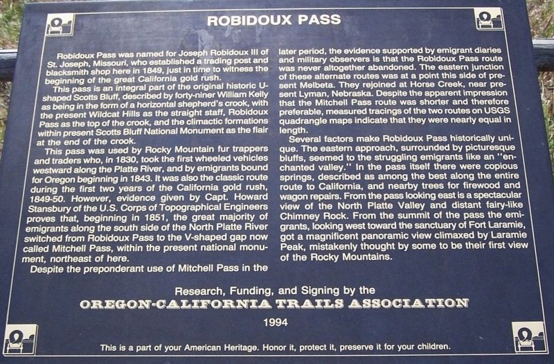
This pass is an integral part of the original historic U-shaped Scotts Bluff, described by forty-niner William Kelly as being in the form of a horizontal shepherd’s crook, with the present Wildcat Hills as the straight staff, Robidoux Pass as the top of the crook, and the climatic formations within Scotts Bluff National Monument as the flair at the end of the crook.
This pass was used by Rocky Mountain fur trappers and traders who, in 1830, took the first wheeled vehicles westward along the Platte River, and by emigrants bound for Oregon beginning in 1843. It was also the classic route during the first two years of the California Gold Rush, 1849-50. However, evidence given by Capt. Howard Stansbury of the U.S. Corps of Topographical Engineers proves that, beginning in 1851, the great majority of emigrants along the south side of the North Platte River switched from Robidoux Pass to the V-shaped gap now called Mitchell Pass, within the present national monument, northeast of here.
Despite the preponderant use of Mitchell Pass in the later period, the evidence supported by emigrant diaries and military observers
is that the Robidoux Pass route was never altogether abandoned. The eastern junction of these alternate was at a point this side of present Melbeta. They rejoined at Horse Creek, near present Lyman, Nebraska. Despite the apparent impression that the Mitchell Pass route was shorter and therefore preferable, measured tracings of the two routes on USGS quadrangle maps indicate that they are nearly equal in length.
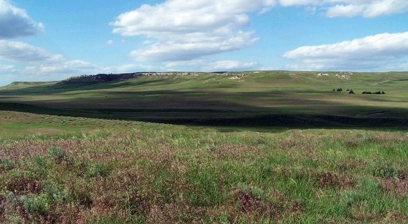
Several factors make Robidoux Pass historically unique. The eastern approach, surrounded by picturesque bluffs, seemed to the struggling emigrants like an “enchanted valley’” In the pass itself there were copious springs, described as among the best along the entire route to California, and nearby trees for firewood and wagon repairs. From the pass looking east is a spectacular view of the North Platte Valley and distant fairy-like Chimney Rock. From the summit of the pass the emigrants, looking west toward the sanctuary of Fort Laramie, got a magnificent panoramic view climaxed by Laramie Peak, mistakenly thought by some to be their first view of the Rocky Mountains.
Erected 1994 by Oregon-California Trails Association.
Topics. This historical marker is listed in these topic lists: Roads & Vehicles • Settlements & Settlers.
Location. 41° 48.886′
Other nearby markers. At least 8 other markers are within 8 miles of this marker, measured as the crow flies. Oregon Trail Memorial (approx. 1.4 miles away); Robidoux Trading Post (approx. 1.6 miles away); Robedeau Trading Post (approx. 1.6 miles away); a different marker also named Robidoux Trading Post (approx. 4 miles away); Fort Mitchell, 1864-1867 (approx. 6.7 miles away); Oregon Trail (approx. 7.3 miles away); Assistance on the Trail (approx. 7.4 miles away); History Lives on in Art (approx. 7.4 miles away). Touch for a list and map of all markers in Gering.
Credits. This page was last revised on October 26, 2016. It was originally submitted on October 25, 2016, by David J Gaines of Pinson, Alabama. This page has been viewed 413 times since then and 13 times this year. Photos: 1, 2. submitted on October 25, 2016, by David J Gaines of Pinson, Alabama. • Bill Pfingsten was the editor who published this page.

