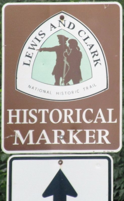
Near Spanish Lake in St. Louis County, Missouri — The American Midwest (Upper Plains)
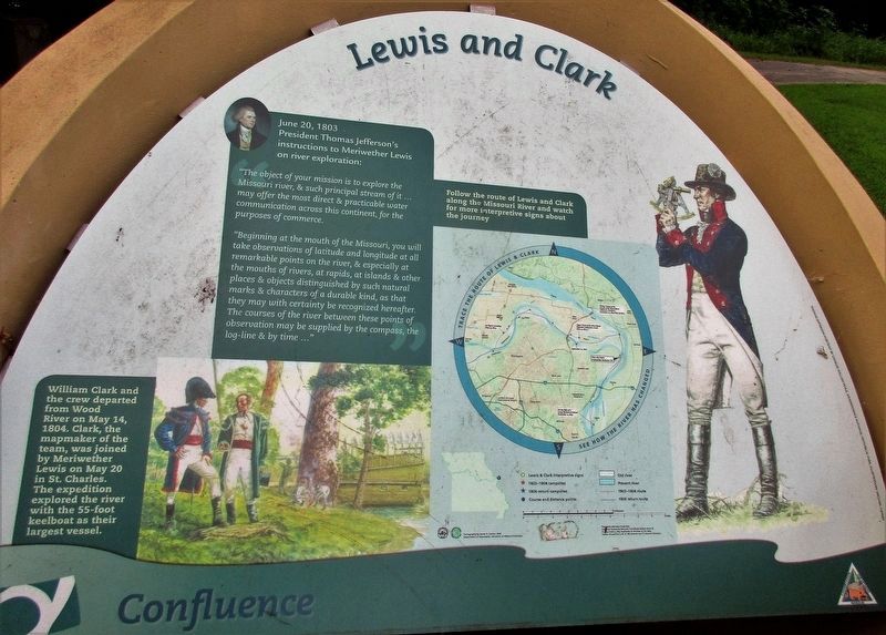
Lewis and Clark
Confluence
— Columbia Bottom, Missouri —
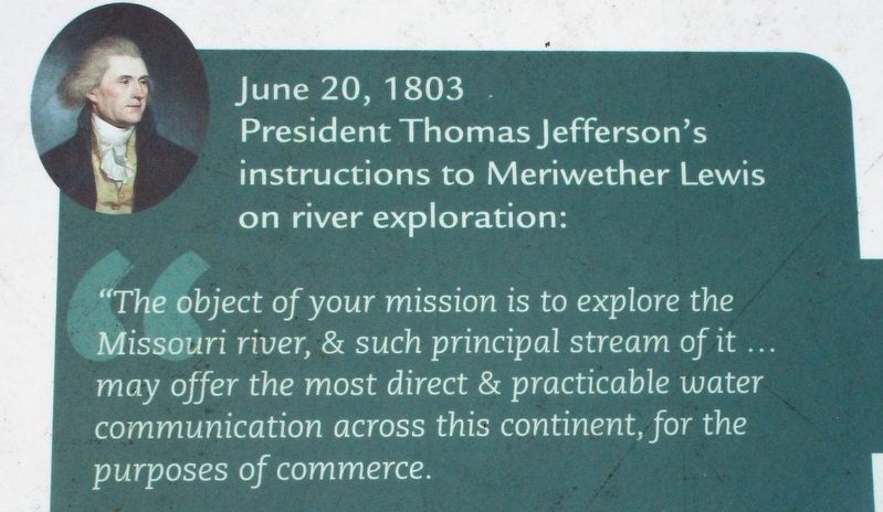
June 20, 1803
President Thomas Jefferson’s instructions to Meriwether Lewis on river exploration:
“The object of your mission is to explore the Missouri river, & such principle stream of it, as, by its course & communication with the waters of the Pacific ocean… may offer the most direct & practicable water communication across this continent, for the purpose of commerce."
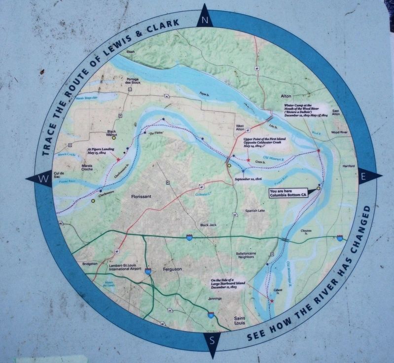
“Beginning at the mouth of the Missouri, you will take observations of latitude and longitude at all remarkable points on the river, & especially at the mouths of rivers, at rapids, at islands & other places & objects distinguished by such natural marks and characteristics of a durable kind, as that they may with certainty be recognized hereafter. The course of the river between these points of observation may be supplied by the compass, the log-line & by time…”<
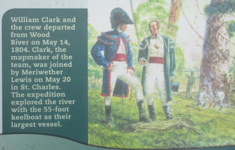
William Clark and the crew departed from Wood River on May 14, 1804. Clark, the mapmaker of the team, was joined by Meriwether Lewis on May 20 in St. Charles. The expedition explored the river with the 55-foot keelboat as their largest vessel.
Topics and series. This historical marker is listed in these topic lists: Exploration • Waterways & Vessels . In addition, it is included in the Former U.S. Presidents: #03 Thomas Jefferson, and the Lewis & Clark Expedition series lists.
Location. 38° 48.827′ N, 90° 7.549′ W. Marker is near Spanish Lake, Missouri, in St. Louis County. Marker is on Upper Columbia Bottom Road, in the median. Marker is at the east end of the parking lot, at the very end of Upper Columbia Bottom Road, in the Columbia Bottom Conservation Area. Touch for map. Marker is at or near this postal address: 12810 Columbia Bottom Road, Saint Louis MO 63138, United States of America. Touch for directions.
Other nearby markers. At least 8 other markers are within 2 miles of this marker, measured as the crow flies. American Indian Nations of Missouri (approx. 0.4 miles away); Lewis and Clark at the Confluence Point (approx. 0.4 miles away); Lewis and Clark Expedition (approx. 0.9 miles away in Illinois); The Journey Begins Here (approx. 0.9 miles away in Illinois); "fixed on a place to build huts" (approx. 1˝ miles away in Illinois); The Lewis & Clark Expedition (approx. 1˝ miles away in Illinois); The Lewis and Clark Expedition in Illinois: A Bicentennial Tribute (approx. 1˝ miles away in Illinois); The Village of Hartford (approx. 2 miles away in Illinois).
More about this marker. Text is the same as the marker at the headwaters of the Missouri River, near Three Forks, Montana
Credits. This page was last revised on October 18, 2022. It was originally submitted on October 29, 2016, by Rev. Ronald Irick of West Liberty, Ohio. This page has been viewed 799 times since then and 72 times this year. Last updated on October 15, 2018, by Devry Becker Jones of Washington, District of Columbia. Photos: 1, 2, 3, 4, 5. submitted on October 29, 2016, by Rev. Ronald Irick of West Liberty, Ohio. • Andrew Ruppenstein was the editor who published this page.
Editor’s want-list for this marker. A wide shot of the marker in context. • Can you help?
