Cumberland Trace
Side 1
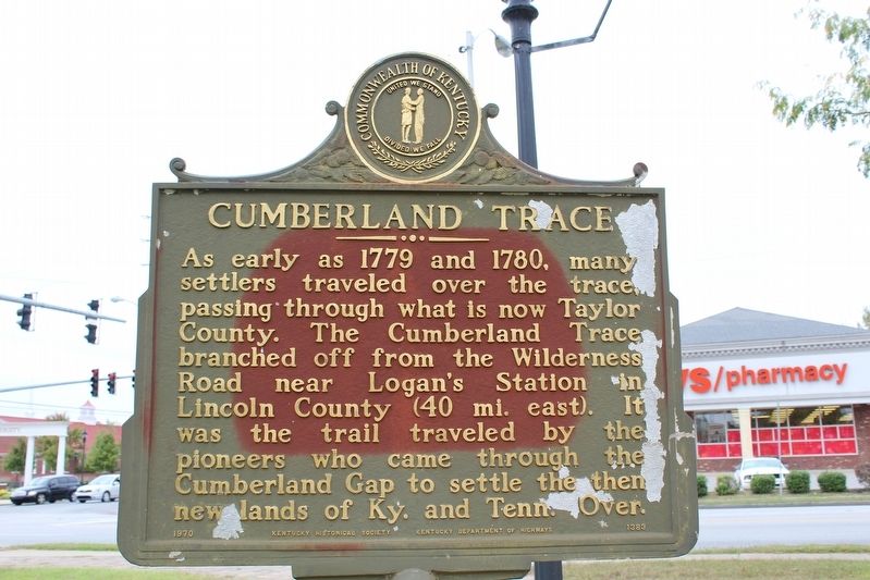
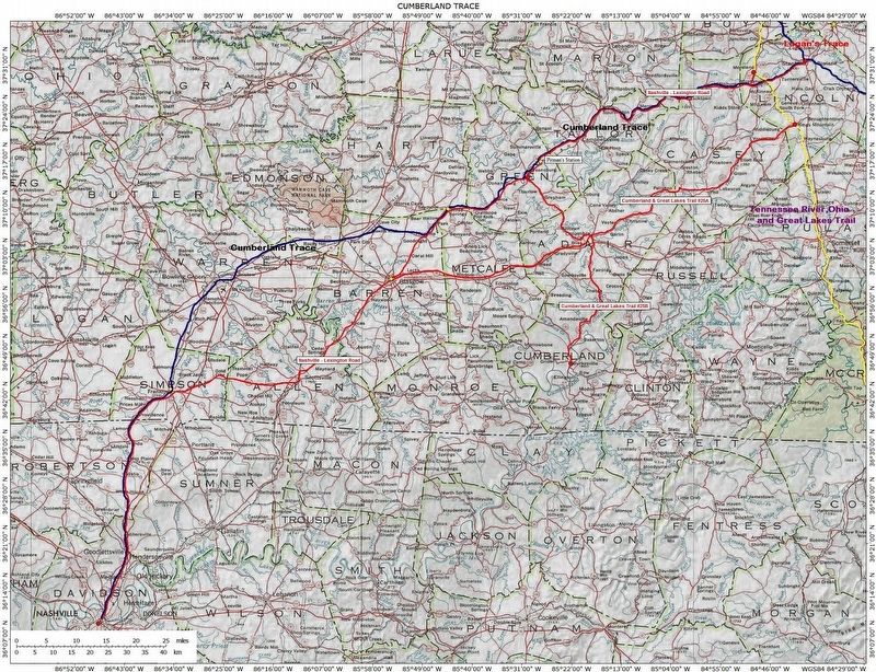
As early as 1779 and 1780, many settlers traveled over the trace, passing through what is now Taylor County. The Cumberland Trace branched off from the Wilderness Road near Logan's Station in Lincoln County (40 mi. east). It was the trail traveled by the pioneers who came through the Cumberland Gap to settle the then new lands of Ky. and Tenn.
Side 2
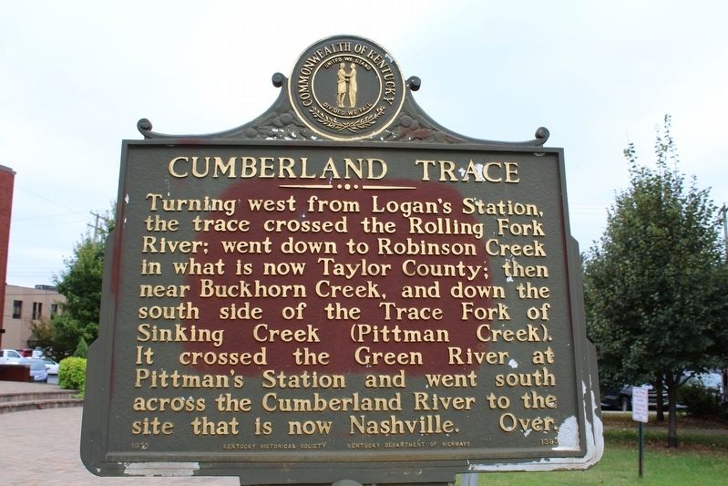
Turning west from Logan's Station, the trace crossed the Rolling Fork River; went down to Robinson Creek in what is now Taylor County; then near Buckhorn Creek, and down the south side of the Trace Fork of Sinking Creek (Pittman Creek). It crossed the Green River at Pittman's Station and went south across the Cumberland River to the site that is now Nashville.
Erected 1970 by Kentucky Historical Society & Kentucky Department of Highways. (Marker Number 1383.)
Topics and series. This historical marker is listed in these topic lists: Roads & Vehicles • Settlements & Settlers. In addition, it is included in the Kentucky Historical Society series list. A significant historical year for this entry is 1779.
Location. 37° 20.483′ N, 85° 20.717′ W. Marker is in Campbellsville, Kentucky, in Taylor County. Marker is at the intersection of East Broadway (
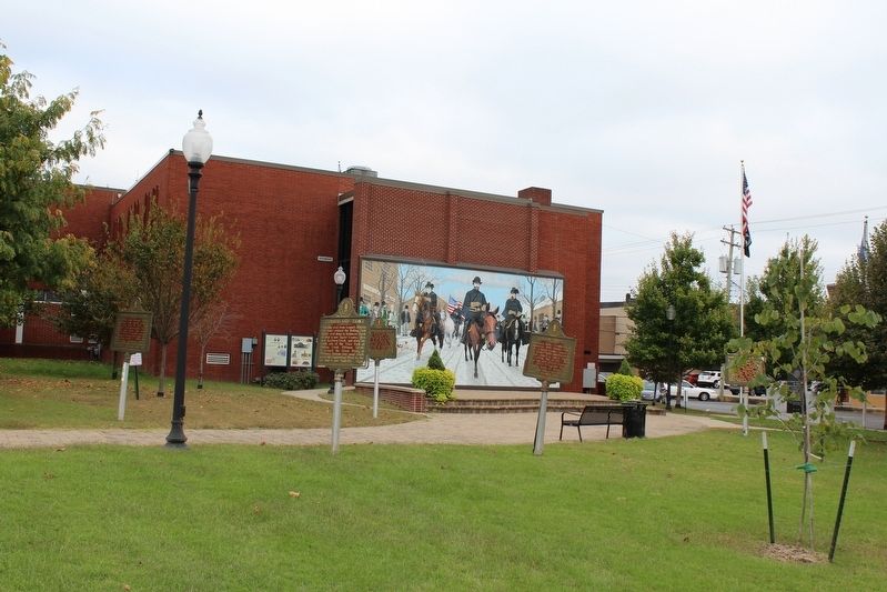
Other nearby markers. At least 8 other markers are within walking distance of this marker. Campbellsville / Taylor County (here, next to this marker); Confederate Raids (here, next to this marker); Courthouse Burned (here, next to this marker); Brig. Gen. Elias Barbee (here, next to this marker); First Taylor County Courthouse (here, next to this marker); Second Taylor County Courthouse - 1867 (here, next to this marker); Taylor County War Memorial (a few steps from this marker); Taylor County Vietnam Memorial (within shouting distance of this marker). Touch for a list and map of all markers in Campbellsville.
Credits. This page was last revised on January 5, 2019. It was originally submitted on October 30, 2016, by Tom Bosse of Jefferson City, Tennessee. This page has been viewed 942 times since then and 66 times this year. Photos: 1, 2, 3, 4. submitted on October 30, 2016, by Tom Bosse of Jefferson City, Tennessee. • Bill Pfingsten was the editor who published this page.


