Near Sheridan in Douglas County, Nevada — The American Mountains (Southwest)
Carson Trail - Upland Travel
Erected 2003 by Trails West Inc. (Marker Number CR-35.)
Topics and series. This historical marker is listed in these topic lists: Roads & Vehicles • Settlements & Settlers. In addition, it is included in the California Trail, and the Kit Carson Trail series lists. A significant historical date for this entry is August 28, 1850.
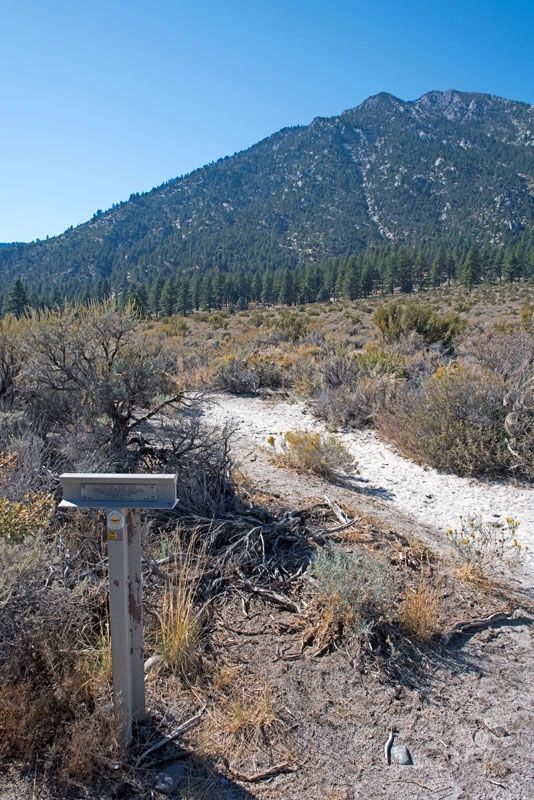
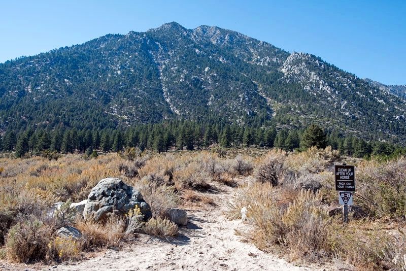
Location. 38° 52.212′ N, 119° 48.638′ W. Marker is near Sheridan, Nevada, in Douglas County. Marker can be reached from Foothill Road, on the right when traveling south. Marker is at the rear of the Fay-Luther Trail parking lot. The parking lot is on Foothill Road (State Route 206) about 500 feet south of Horsethief Circle. Touch for map. Marker is in this post office area: Gardnerville NV 89410, United States of America. Touch for directions.
Other nearby markers. At least 8 other markers are within 6 miles of this marker, measured as the crow flies. Luther Canyon (about 400 feet away, measured in a direct line); Sheridan (approx. 2.3 miles away); Brockliss Road (approx. 3.2 miles away); Mottsville (approx. 4˝ miles away); Hiram Mott (approx. 4˝ miles away); Farmer’s Telephone Company (approx. 5.9 miles away); Record Courier Building (approx. 5.9 miles away); Ritchford Hotel (approx. 5.9 miles away).
Credits. This page was last revised on November 20, 2016. It was originally submitted on November 20, 2016, by Alvis Hendley of San Francisco, California. This page has been viewed 258 times since then and 9 times this year. Photos: 1, 2, 3, 4. submitted on November 20, 2016, by Alvis Hendley of San Francisco, California. • Syd Whittle was the editor who published this page.


