Jupiter in Palm Beach County, Florida — The American South (South Atlantic)
Powell's Battle
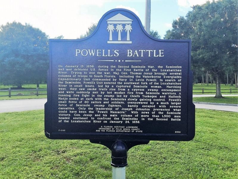
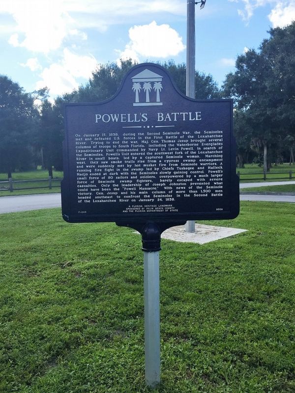
On January 15,1838, during the Second Seminole War.The Seminoles met and defeated U.S. forces in the first battle of the Loxahatchee River.Trying to end the war,Maj. Gen. Thomas Jesup brought several columns of troops to south Florida, including Waterborne Everglades Expeditionary Unit commanded by Navy Lt. Levin Powell. In search of the Seminoles, Powell's unit entered the southwest fork of the Loxahatchee river in small boats, led by a captured Seminole woman. Marching west, they saw smoke trails rise from a cypress swamp encampment and were suddenly met by hot musket fire from Seminole warriors. A running fire fight in the swamp led by Chiefs Tuskegee and Halleck Hadjo ended at dark with the Seminoles slowly gaining control. Powell's small force of 80 sailors and soldiers, overpowered by a much larger force of Seminole swamp fighters, barely escaped with severe casualties. Only the leadership of Joseph Johnston prevented what could have been the "Powell Massacre". With news of the Seminole victory, Gen. Jesup and his main column of more than 1500 men headed southeast to confront the Seminoles in the Second Battle of the Loxahatchee River on January 24, 1838.
Erected 2008 by Palm Beach County & Florida Department of State. (Marker Number F-646.)
Topics. This historical marker is listed in this topic list: Wars, US Indian. A significant historical date for this entry is January 15, 1838.
Location. 26° 56.137′ N, 80° 10.475′ W. Marker is in Jupiter, Florida, in Palm Beach County. Marker can be reached from West Indiantown Road (State Road 706) 1.3 miles west of Florida's Turnpike (Interstate 95), on the left when traveling west. Marker is in Riverbend Park. Touch for map. Marker is at or near this postal address: 9060 W Indiantown Rd, Jupiter FL 33478, United States of America. Touch for directions.
Other nearby markers. At least 8 other markers are within 5 miles of this marker, measured as the crow flies. Jesup's Battle (approx. 0.4 miles away); Burt Reynolds Ranch (approx. 1.9 miles away); L.M. Davis Elementary School (approx. 2.1 miles away); Mt. Carmel Missionary Baptist Church & Cemetery (approx. 2.2 miles away); Cinquez Park (approx. 2.8 miles away); Trapper Nelson Interpretive Site (approx. 2.9 miles away); Tennessee Volunteers and Militia Camp (approx. 3.2 miles away); Military Trail (approx. 4˝ miles away). Touch for a list and map of all markers in Jupiter.
Also see . . . Riverbend Park. Palm Beach County Parks & Recreation (Submitted on November 23, 2016.)
Credits. This page was last revised on March 5, 2018. It was originally submitted on November 23, 2016, by Jay Kravetz of West Palm Beach, Florida. This page has been viewed 666 times since then and 47 times this year. Photos: 1, 2, 3. submitted on November 23, 2016, by Jay Kravetz of West Palm Beach, Florida. • Bernard Fisher was the editor who published this page.


