Roswell in Fulton County, Georgia — The American South (South Atlantic)
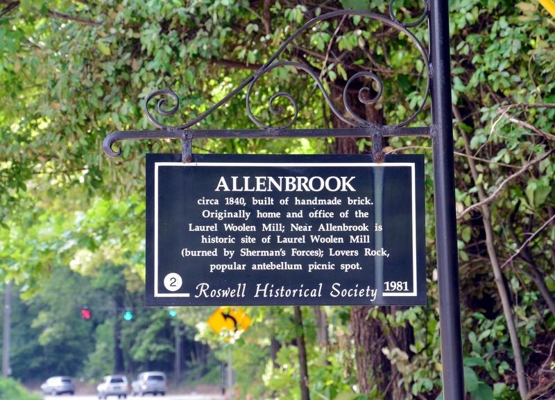
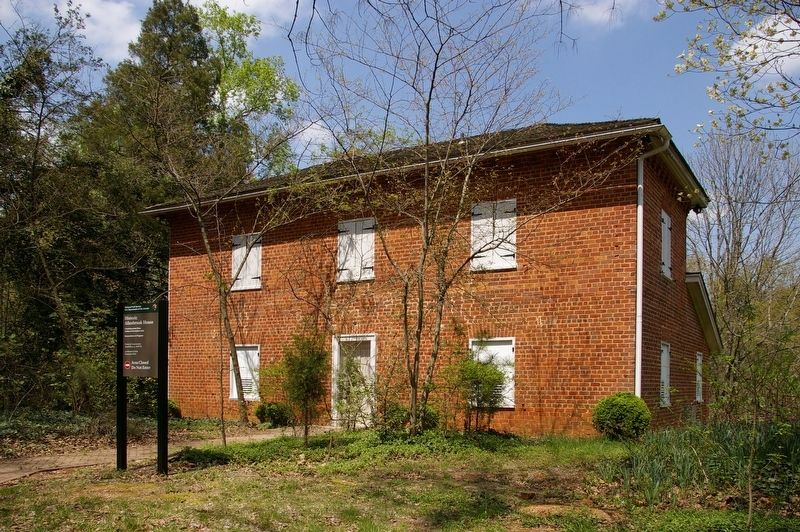
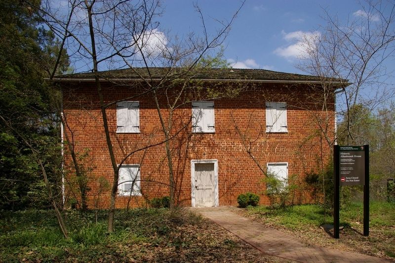
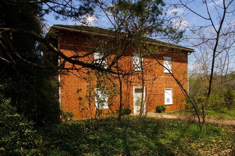
Allenbrook
Erected 1981 by Roswell Historical Society. (Marker Number 2.)
Topics. This historical marker is listed in these topic lists: Architecture • Industry & Commerce • War, US Civil. A significant historical year for this entry is 1840.
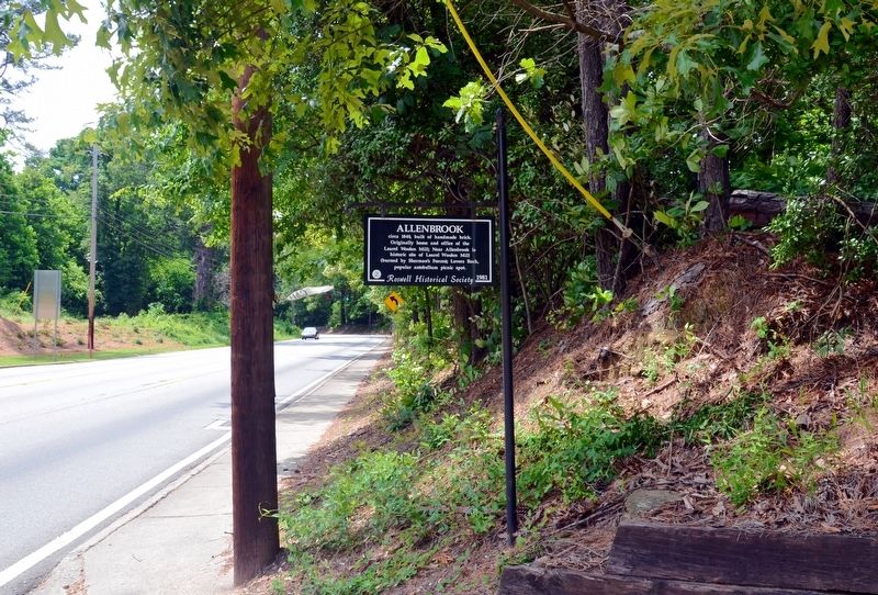
Location. 34° 0.483′ N, 84° 21.25′ W. Marker is in Roswell, Georgia, in Fulton County. Marker is on South Atlanta Street (Georgia Route 9) 0.2 miles north of Riverside Road, on the right. Touch for map. Marker is at or near this postal address: 227 South Atlanta Street, Roswell GA 30075, United States of America. Touch for directions.
Other nearby markers. At least 8 other markers are within walking distance of this marker. McPherson’s Troops at Shallow Ford (approx. ¼ mile away); Garrard’s Cav. & Newton’s Division (approx. ¼ mile away); The Trail of Tears (approx. 0.3 miles away); Lynching in America / Lynching of Mack Henry Brown (approx. 0.3 miles away); Army of the Tennessee at Roswell (approx. 0.4 miles away); The Removal of 1838 (approx. 0.4 miles away); Mill Dam and Raceway (approx. 0.4 miles away); Mechanics of a Mill (approx. 0.4 miles away). Touch for a list and map of all markers in Roswell.
Regarding Allenbrook. Allenbrook is now owned by the National Park Service, and is part of the Vickery Creek Trail Complex, a section of the Chattahoochee River National Recreation Area.
Credits. This page was last revised on October 15, 2017. It was originally submitted on October 15, 2017, by David Seibert of Sandy Springs, Georgia. This page has been viewed 363 times since then and 39 times this year. Photos: 1, 2, 3, 4, 5. submitted on October 15, 2017, by David Seibert of Sandy Springs, Georgia.
