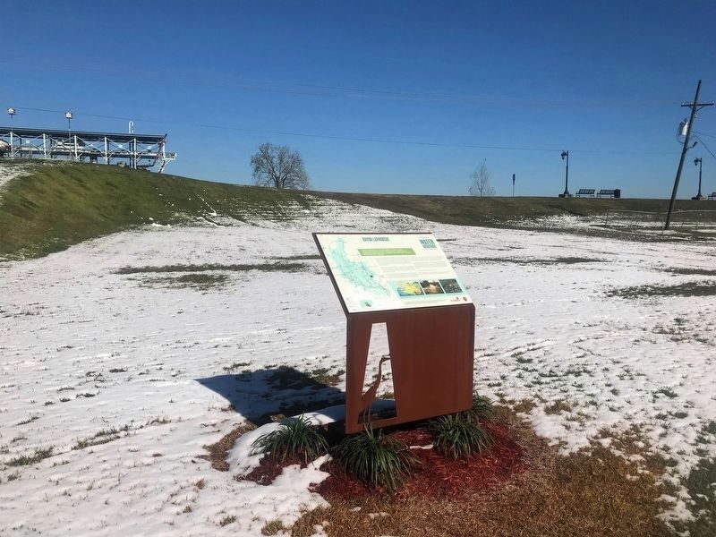
Bayou Lafourche
Mississippi River Junction
— Atchafalaya Water Heritage Trail —
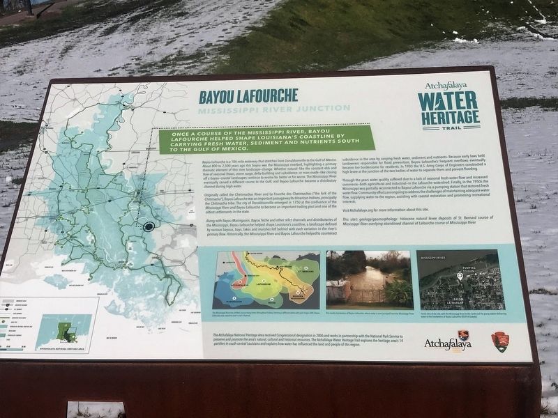
Once a course of the Mississippi River, Bayou Lafourche helped shape Louisiana's coastline by carrying fresh water, sediment and nutrients south to the Gulf of Mexico.
Bayou LaFourche is a 106-mile waterway that stretches from Donaldsonville to the Gulf of Mexico. About 800 to 2,500 years ago this bayou was the Mississippi riverbed, highlighting a primary thematic element of this river landscape—change. Whether natural—like the constant ebb and flow of seasonal thaws, storm surge, delta-building and subsidence—or man-made—like closing off a bayou—coastal landscapes continue to evolve for better or for worse. The Mississippi River eventually carved a different course to the Gulf, and Bayou Lafourche became a distributary channel during high water.
Originally called the Chetimachas River and La Fourche des Chetimaches (“the fork of the Chitimacha”), Bayou Lafourche was an important passageway for American Indians, principally the Chitimacha tribe. The city of Donaldsonville emerged in 1750 at the confluence of the Mississippi River and Bayou Lafourche to become an important trading post and one of the oldest settlements in the state.
Along with Bayou Maringuoin, Bayou Teche and other relict channels and distributaries of the Mississippi, Bayou Lafourche helped shape Louisiana’s
coastline, a landscape defined by various bayous, bays, lakes and marshes left behind with each variation in the river’s primary flow. Historically, the Mississippi River and Bayou Lafourche helped to counteract subsidence in the area by carrying fresh water, sediment and nutrients. Because early laws held landowners responsible for flood prevention, Bayou Lafourche’s frequent overflows eventually became too burdensome for residents. In 1903 the U.S. Army Corps of Engineers constructed a high levee at the junction of the two bodies of water to separate them and prevent flooding.Through the years water quality suffered due to a lack of seasonal fresh-water flow and increased commerce—both agricultural and industrial—in the Lafourche watershed. Finally, in the 1950s the Mississippi was partially reconnected to Bayou Lafourche via a pumping station that restored fresh water flow. Community efforts are ongoing to address the challenges of maintaining adequate water flow, supplying water to the region, assisting with coastal restoration and promoting recreational interests.
Visit Atchafalaya.org for more information about this site.
This site’s geology/geomorphology: Holocene natural levee deposits of St. Bernard course of Mississippi River overlying abandoned channel of Lafourche course of Mississippi River.
Erected by
Topics and series. This historical marker is listed in this topic list: Waterways & Vessels. In addition, it is included in the Atchafalaya Water Heritage Trail series list.
Location. 30° 6.474′ N, 90° 59.447′ W. Marker is in Donaldsonville, Louisiana, in Ascension Parish. Marker is at the intersection of Mississippi Street (State Highway 18) and Iberville Street, on the left when traveling north on Mississippi Street. Touch for map. Marker is in this post office area: Donaldsonville LA 70346, United States of America. Touch for directions.
Other nearby markers. At least 8 other markers are within walking distance of this marker. Fort Butler (within shouting distance of this marker); Walter Lemann, Sr. Pumping Station (within shouting distance of this marker); Fort Butler UDC Monument (within shouting distance of this marker); Donaldsonville (within shouting distance of this marker); Fort Butler African American Soldiers Memorial (within shouting distance of this marker); Dedicated to the Memory Of (approx. 0.2 miles away); Historic Donaldsonville (approx. 0.2 miles away); Mississippi River (approx. 0.2 miles away). Touch for a list and map of all markers in Donaldsonville.
Credits. This page was last revised on July 3, 2022. It was originally submitted on December 9, 2017, by Cajun Scrambler of Assumption, Louisiana. This page has been viewed 605 times since then and 39 times this year. Photos: 1, 2. submitted on December 9, 2017.

