Salem in Marion County, Oregon — The American West (Northwest)
Column Segments
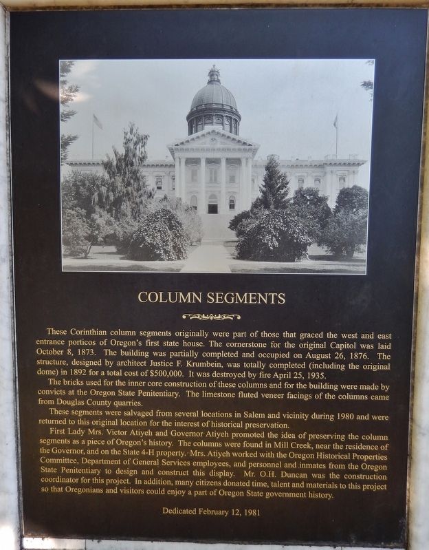
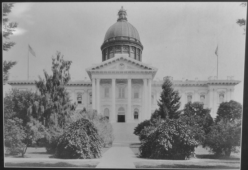
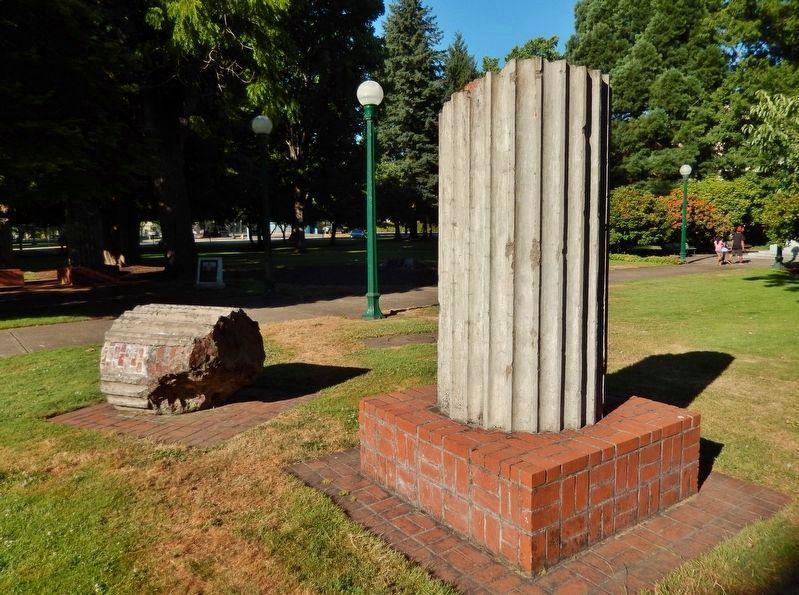
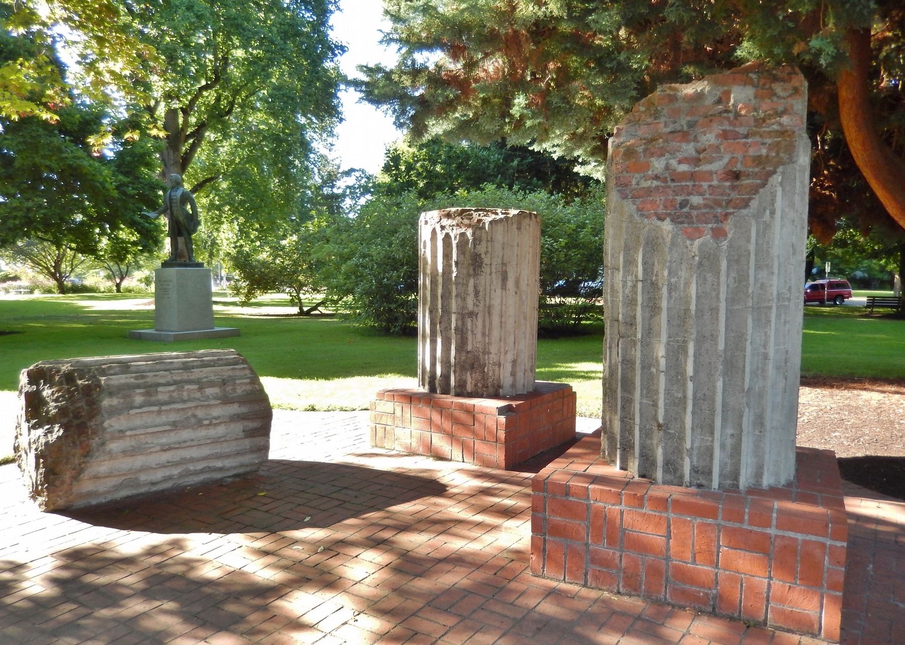
These Corinthian column segments originally were part of those that graced the west and east entrance porticos of Oregon's first state house. The cornerstone for the original Capitol was laid October 8, 1873. The building was partially completed and occupied on August 26, 1876. The structure, designed by architect Justice F. Krumbein, was totally completed (including the original dome) in 1892 for a total cost of $500,000. It was destroyed by fire April 25, 1935.
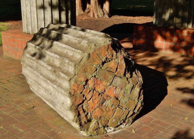
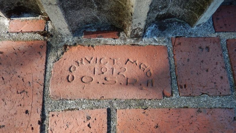
The bricks used for the inner core construction of these columns and for the building were made by convicts at the Oregon State Penitentiary. The limestone fluted veneer facings of the columns came from Douglas County quarries.
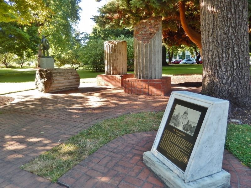
These segments were salvaged from several locations in Salem and vicinity during 1980 and were returned to this original location for the interest of historical preservation.
First Lady Mrs. Victor Atiyeh and Governor Atiyeh promoted the idea of preserving the column segments as a piece of Oregon's history. The columns were found in Mill Creek, near the residence of the Governor, and on the State 4-H property. Mrs. Atiyeh worked with the Oregon Historical Properties Committee, Department of General Services employees, and personnel and inmates from the Oregon State Penitentiary to design and construct this display. Mr. O.H. Duncan was the construction coordinator for this project. In addition, many citizens donated time, talent and materials to this project so that Oregonians and visitors could enjoy a part of Oregon State government history.
Erected 1981 by Oregon Historical Properties Committee.
Topics. This historical marker is listed in these topic lists: Architecture • Man-Made Features • Notable Buildings.
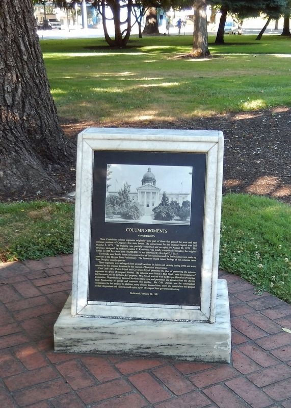
Location. 44° 56.292′ N, 123° 1.742′ W. Marker is in Salem, Oregon, in Marion County. Marker can be reached from Court Street NE west of Waverly Street NE, on the left when traveling west. Marker is located on the Oregon State Capitol grounds, near the northeast corner of the Capitol. Touch for map. Marker is at or near this postal address: 900 Court Street NE, Salem OR 97301, United States of America. Touch for directions.
Other nearby markers. At least 8 other markers are within walking distance of this marker. Rev. Jason Lee (a few steps from this marker); Dr. John McLoughlin (within shouting distance of this marker); The Circuit Rider / Robert Booth Memorial (within shouting distance of this marker); Giant Sequoia (within shouting distance of this marker); Willamette University College of Medicine (about 300 feet away, measured in a direct line); Marking an Old Trail (about 600 feet away); Dedicated to You, A Free Citizen in a Free Land (about 600 feet away); T.G. Bligh Building (approx. 0.4 miles away). Touch for a list and map of all markers in Salem.
Also see . . . Oregon State Capitol.
The second capitol, built between 1873 and 1876, was a two-story structure with an additional first level that was partly underground. The large copper-clad dome was constructed with an iron and steel framework. This dome rose 54 feet above the rest of the building and was 100 feet tall. The building was of Renaissance style with Corinthian columns on the front entrance.
On the east side of the current (third) capitol building is Capitol Park, which includes an exhibit of portions of the Corinthian columns of the second capitol building. (Submitted on February 4, 2018, by Cosmos Mariner of Cape Canaveral, Florida.)
Photographed By Cosmos Mariner, July 5, 2015
8. Oregon State Penetentiary, Convict Made Brick, 1912
The bricks used for the inner core construction of these columns and for the building were made by convicts at the Oregon State Penitentiary. The limestone fluted veneer facings of the columns came from Douglas County quarries.
Credits. This page was last revised on October 19, 2020. It was originally submitted on February 4, 2018, by Cosmos Mariner of Cape Canaveral, Florida. This page has been viewed 312 times since then and 62 times this year. Photos: 1, 2, 3, 4, 5, 6, 7, 8. submitted on February 4, 2018, by Cosmos Mariner of Cape Canaveral, Florida. • Andrew Ruppenstein was the editor who published this page.
