Near Montrose in Montrose County, Colorado — The American Mountains (Southwest)
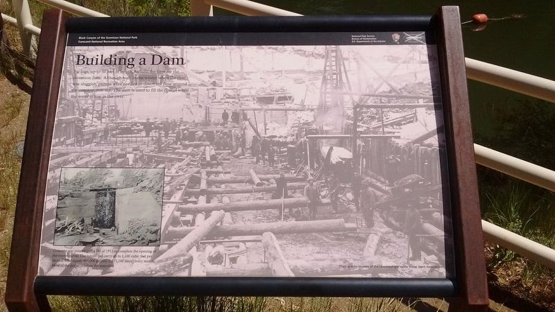
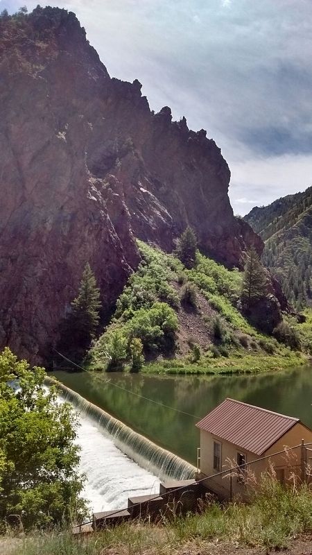
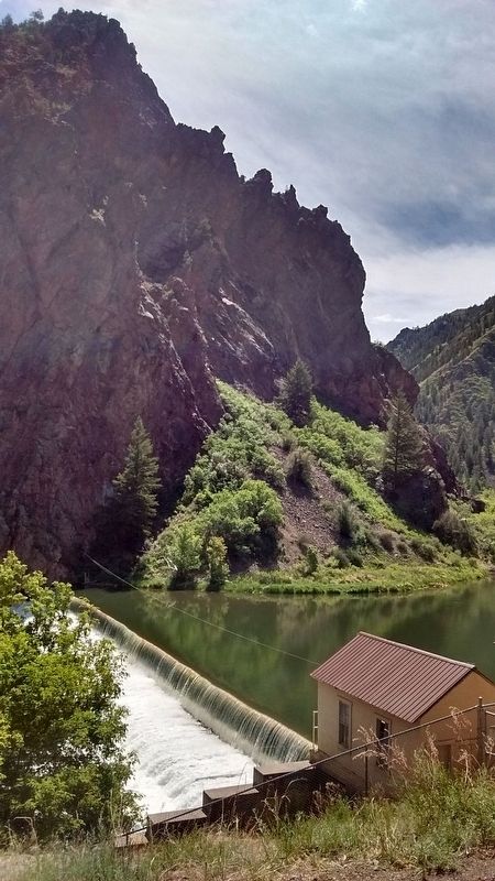
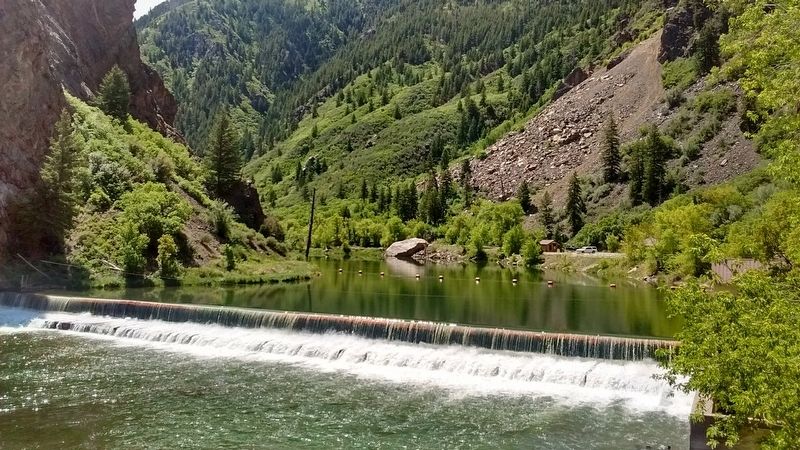
Building a Dam
Insert Photo Caption:
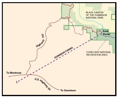
Concrete was poured in the fall of 1912 to complete the opening of the tunnel portal. The tunnel can carry 1,100 cubic feet per second That equals 495,000 gallons (1,871,100 liters) every minute. Most of the portal is below the waterline.
Erected by National Park Service, U.S. Department of the Interior.
Topics. This historical marker is listed in these topic lists: Bridges & Viaducts • Industry & Commerce • Waterways & Vessels. A significant historical year for this entry is 1912.
Location. 38° 31.555′ N, 107° 38.954′ W. Marker is near Montrose, Colorado, in Montrose County. Marker can be reached from East Portal Road. Marker is located in the East Portal Campground in the Black Canyon of the Gunnison National Park and is subject to Winter closing from November to April. Touch for map. Marker is in this post office area: Montrose CO 81401, United States of America. Touch for directions.
Other nearby markers. At least 8 other markers are within 8 miles of this marker, measured as the crow flies. Light at the End of the Tunnel (a few steps from this marker); Black Canyon of the Gunnison National Park (approx. 2.6 miles away); Pegmatite Dikes (approx. 2.9 miles away); Early Exploration (approx. 5.2 miles away); The Painted Wall (approx. 5.3 miles away); All Aboard (approx. 7˝ miles away); Narrow Path to Prosperity (approx. 7.7 miles away); Working on the Railroad (approx. 7.7 miles away). Touch for a list and map of all markers in Montrose.
Also see . . . East Portal & the Gunnison Tunnel. (Submitted on July 16, 2018, by Tom Bosse of Jefferson City, Tennessee.)
Credits. This page was last revised on October 29, 2020. It was originally submitted on July 16, 2018, by Tom Bosse of Jefferson City, Tennessee. This page has been viewed 188 times since then and 17 times this year. Photos: 1, 2, 3, 4, 5, 6. submitted on July 16, 2018, by Tom Bosse of Jefferson City, Tennessee. • Syd Whittle was the editor who published this page.
