Acme in Medina County, Ohio — The American Midwest (Great Lakes)
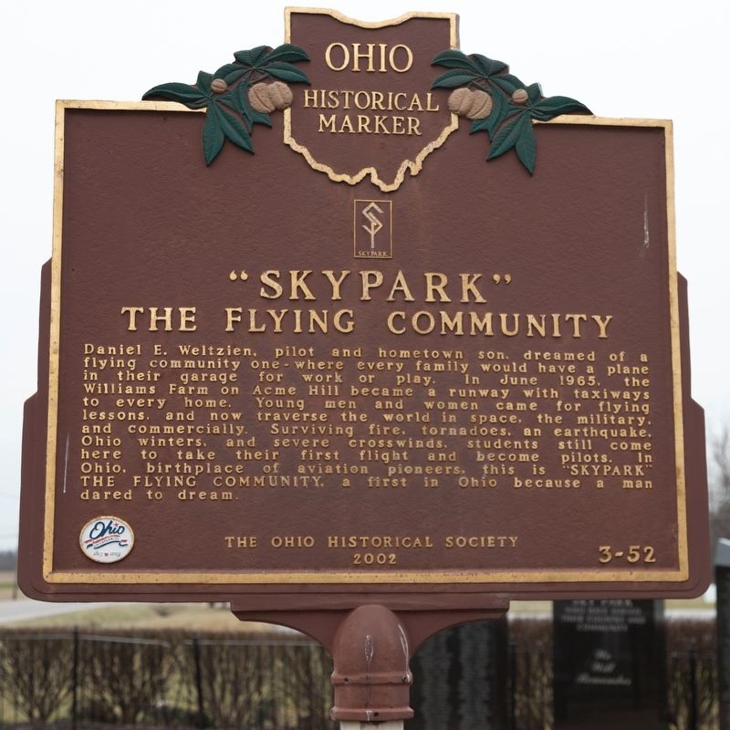
“Skypark”
The Flying Community
Erected 2002 by The Ohio Historical Society. (Marker Number 3-52.)
Topics and series. This historical marker is listed in these topic lists: Air & Space • Parks & Recreational Areas. In addition, it is included in the Ohio Historical Society / The Ohio History Connection series list. A significant historical month for this entry is June 1965.
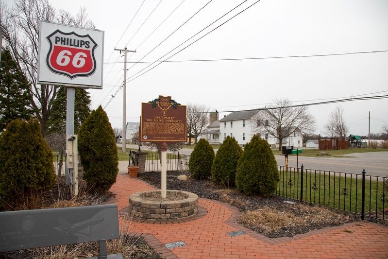
Location. 41° 1.555′ N, 81° 47.933′ W. Marker is in Acme, Ohio, in Medina County. Marker is on Greenwich Road (County Route 97) west of Skypark Drive. It is at the Weltzien Skypark airport entrance. Touch for map. Marker is at or near this postal address: 3071 Greenwich Rd, Wadsworth OH 44281, United States of America. Touch for directions.
Other nearby markers. At least 8 other markers are within 8 miles of this marker, measured as the crow flies. Birth of Skypark (here, next to this marker); Veterans, Members, and Friends of Sky Park (about 300 feet away, measured in a direct line); General Elijah Wadsworth (approx. 3.6 miles away); Johnson House Museum / Carriage Factory (approx. 3.6 miles away); "The Giants of Seville" (approx. 3.7 miles away); Sharron Center Veterans Memorial (approx. 6 miles away); The Sharon Center Public Square Historic District (approx. 6.1 miles away); The Homer and Elizabeth Bennett House (approx. 7.8 miles away). Touch for a list and map of all markers in Acme.
Credits. This page was last revised on January 8, 2020. It was originally submitted on April 15, 2019, by J. J. Prats of Powell, Ohio. This page has been viewed 277 times since then and 35 times this year. Photos: 1. submitted on April 15, 2019, by J. J. Prats of Powell, Ohio. 2. submitted on April 18, 2019, by J. J. Prats of Powell, Ohio.

