Cumberland Township near Gettysburg in Adams County, Pennsylvania — The American Northeast (Mid-Atlantic)
Steuart's Brigade
Johnson's Division - Ewell's Corps
— Army of Northern Virginia —
Army of Northern Virginia
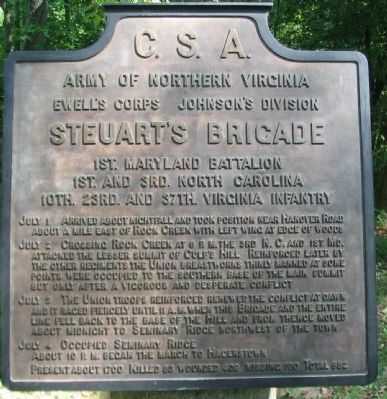
Ewell's Corps Johnson's Division
Steuart's Brigade
1st. Maryland Battalion
1st. and 3rd. North Carolina
10th. 23rd. and 37th. Virginia Infantry
July 1 Arrived about nightfall and took position near Hanover Road about a mile east of Rock Creek with left wing at edge of woods.
July 2 Crossing Rock Creek at 6 p.m. the 3rd N.C. and 1st Md. attacked the lesser summit of Culp's Hill. Reinforced later by the other regiments the Union breastworks thinly manned at some points were occupied to the southern base of the main summit but only after a vigorous and desperate conflict.
July 3 The Union troops reinforced renewed the conflict at dawn and it raged fiercely until 11 a.m. when this Brigade and the entire line fell back to the base of the Hill and from thence moved about midnight to Seminary Ridge northwest of the town.
July 4 Occupied Seminary Ridge. About 10 p.m. began the march to Hagerstown.
Present about 1700. Killed 83, wounded 409, missing 190. Total 682.
Erected 1910 by Gettysburg National Military Park Commission.
Topics. This historical marker is listed in this topic list: War, US Civil. A significant historical month for this entry is July 1865.
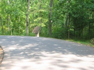
Location. 39° 49.033′ N, 77° 12.918′ W. Marker is near Gettysburg, Pennsylvania, in Adams County. It is in Cumberland Township. Marker is on East Confederate Avenue, on the left when traveling south. Located on the road up to Culp's Hill, Stop 13 on the driving tour of Gettysburg National Military Park. Touch for map. Marker is in this post office area: Gettysburg PA 17325, United States of America. Touch for directions.
Other nearby markers. At least 8 other markers are within walking distance of this marker. 28th Pennsylvania Infantry (about 400 feet away, measured in a direct line); Forty-Third North Carolina Regiment (about 500 feet away); Walker's Brigade (about 500 feet away); Daniel's Brigade (about 700 feet away); Smith's Brigade (about 800 feet away); 20th Connecticut Volunteers (approx. 0.2 miles away); 2nd Maryland Infantry (approx. 0.2 miles away); 123rd New York Infantry (approx. 0.2 miles away). Touch for a list and map of all markers in Gettysburg.
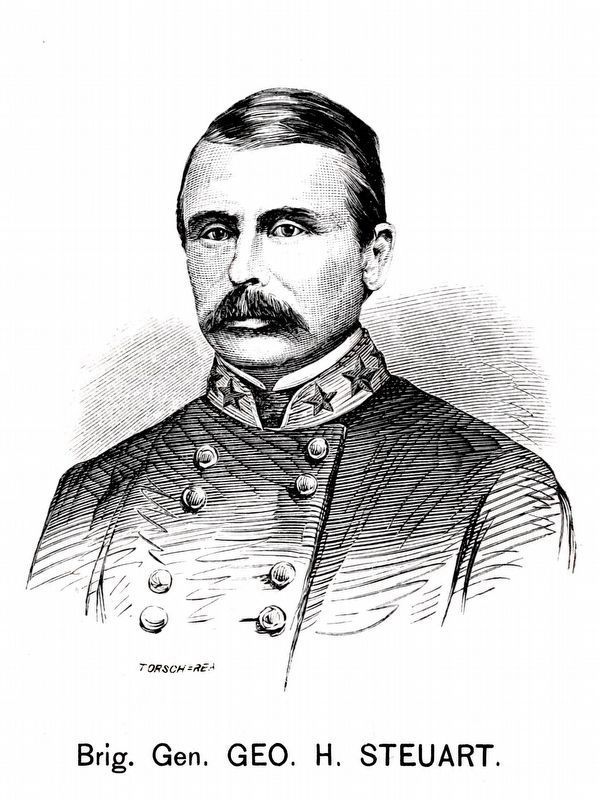
Also see . . . Reports of Brig. Gen. George H. Steuart. Steuart describes the advance on the evening of July 2:
The order was now given by the major-general commanding to advance our left wing as rapidly and as steadily as possible, which was done as soon as the regiments composing it could be hurried across the creek. The left of the brigade now rested very near one line of the enemy's breastworks, which extended up the hill at right angles to the creek and then parallel with it on the summit. The enemy's attention being called more especially to our right, this fortification was not occupied in force. The Twenty-third Virginia accordingly, under Lieutenant-Colonel [S. T.] Walton, immediately charged the work, and scattered the enemy which was behind it. This regiment then filed to the right, until it reached the portion of the breastworks which was at right angles to the part first captured. Forming in line on the flank and almost in rear of the enemy, there stationed, it opened fire upon them, killing, wounding, and capturing quite a number. The Thirty-seventh and Tenth Virginia and First Maryland Battalion then came to the assistance of the Twenty-third Virginia, and fully occupied the works. The Third North Carolina still maintained its former exposed position, although its ammunition was nearly exhausted, notwithstanding the fact that the men had sought to replenish their cartridge-boxes from those of the wounded and dead. (Submitted on November 14, 2008, by Craig Swain of Leesburg, Virginia.)
Photographed By Craig Swain, September 17, 2008
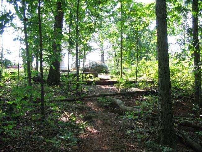
4. Steuart's Assault on Culp's Hill
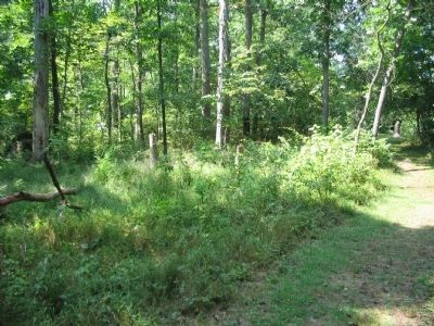
Looking at the lower crest toward the 1st Maryland Battalion (CS) Monument, which stands along Slocum Avenue. Steuart's men advanced up the draw between the upper and lower crests of Culp's Hill, then attacked the thin Federal lines. At the time of the battle, the underbrush was not as thick, and visibility was a bit better.
Photographed By Craig Swain, September 17, 2008
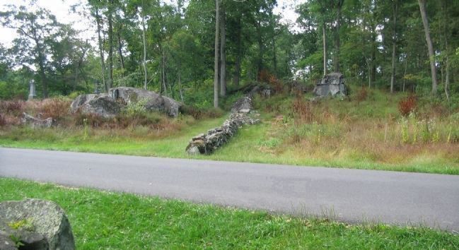
5. West Side of the Stone Wall
From the Smith Brigade tablet, looking at the west side of Confederate Avenue. Note the Federal regimental monuments on the hill crest. Visible are those for the 107th New York and 1st Maryland Potomac Home Guard. During the evening phases of the fighting on July 2, Steuart's Brigade advanced a line outward and further up the hill into the Federal breastworks there. Later, after being pressed out of the works, the Brigade held a line extending to the north (right) of the wall at this point near the close of the fighting in this sector on July 3.
Credits. This page was last revised on February 17, 2024. It was originally submitted on November 14, 2008, by Craig Swain of Leesburg, Virginia. This page has been viewed 1,537 times since then and 39 times this year. Photos: 1, 2, 3, 4. submitted on November 14, 2008, by Craig Swain of Leesburg, Virginia. 5. submitted on November 15, 2008, by Craig Swain of Leesburg, Virginia. 6. submitted on February 17, 2024, by Allen C. Browne of Silver Spring, Maryland.
