Escanaba in Delta County, Michigan — The American Midwest (Great Lakes)
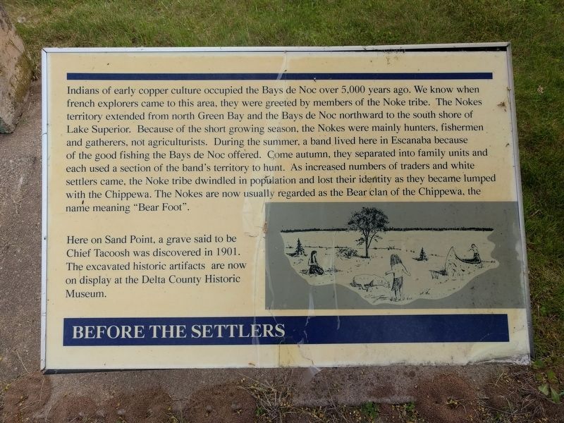
Before the Settlers
Indians of early copper culture occupied the Bays de Noc over 5,000 years ago. We know when French explorers came to this area, they were greeted by members of the Noke tribe. The Nokes territory extended from north Green Bay and the Bays de Noc northward to the south shore of Lake Superior. Because of the short growing season, the Nokes were mainly hunters, fishermen and gatherers, not agriculturists. Doing the summer, a band lived here in Escanaba because of the good fishing the Bays de Noc offered. Come autumn, they seperated into family units and each used a section of the band's territory to hunt. As increased numbers of traders and white settlers came, the Noke tribe dwindled in population and lost their identity as they became lumped with the Chippewa. The Nokes are now usually regarded as the Bear clan of the Chippewa, the name meaning "Bear Foot".
Here on Sand Point, a grave said to be Chief Tacoosh was discovered in 1901. The excavated historic artifacts are now on display at the Delta County Historic Museum.
Topics. This historical marker is listed in this topic list: Native Americans.
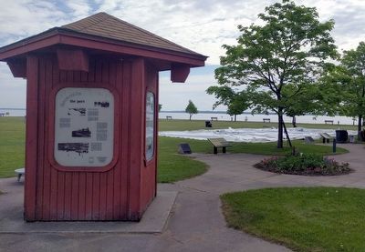
Location. 45° 44.751′ N, 87° 2.864′ W. Marker is in Escanaba, Michigan, in Delta County. Marker is on Ludington Street east of South 2nd Street , on the left when traveling east. Marker is in the park at the Ludington Street Municipal Docks. Touch for map. Marker is at or near this postal address: 112 Ludington Street, Escanaba MI 49829, United States of America. Touch for directions.
Other nearby markers. At least 8 other markers are within walking distance of this marker. Escanaba's Docks (here, next to this marker); Escanaba (a few steps from this marker); The Ore Pellet (a few steps from this marker); Iron Ore Centennial (a few steps from this marker); The Peninsula Railroad (a few steps from this marker); Little Bay de Noc (a few steps from this marker); The Port - Today (within shouting distance of this marker); The Port - Early Years (within shouting distance of this marker). Touch for a list and map of all markers in Escanaba.
Credits. This page was last revised on July 29, 2019. It was originally submitted on July 27, 2019, by Joel Seewald of Madison Heights, Michigan. This page has been viewed 266 times since then and 25 times this year. Photos: 1, 2. submitted on July 27, 2019, by Joel Seewald of Madison Heights, Michigan. • Bill Pfingsten was the editor who published this page.

