Everton in Boone County, Arkansas — The American South (West South Central)
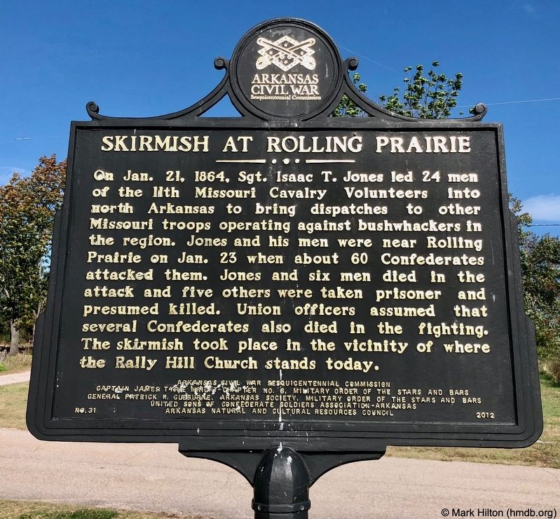
Skirmish at Rolling Prairie
Erected 2012 by Arkansas Civil War Sesquicentennial Commission, Captain James Tyrie Wright Chapter No. 6, Military Order of the Stars and Bars, General Patrick R. Cleburne, Arkansas Society, Military Order of the Stars and Bars, United Sons of Confederate Soldiers Association-Arkansas, Arkansas Natural and Cultural Resources Council. (Marker Number 31.)
Topics and series. This historical marker is listed in this topic list: War, US Civil. In addition, it is included in the Arkansas Civil War Sesquicentennial Commission series list. A significant historical date for this entry is January 21, 1864.
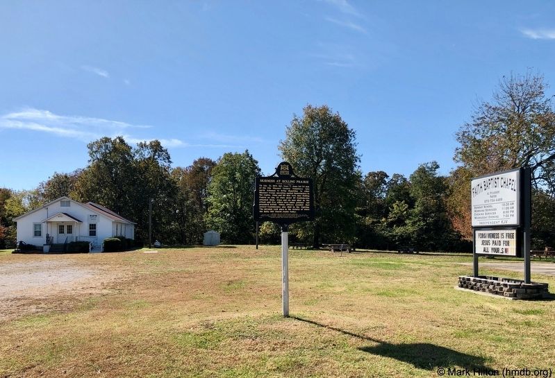
Location. 36° 9.553′ N, 92° 57.064′ W. Marker is in Everton, Arkansas, in Boone County. Marker is on Rally Hill Road, 0.1 miles east of Meeks Creek Road South, on the right when traveling east. Located in front of Faith Baptist Chapel. Touch for map. Marker is at or near this postal address: 9708 Rally Hill Road, Valley Springs AR 72682, United States of America. Touch for directions.
Other nearby markers. At least 8 other markers are within 10 miles of this marker, measured as the crow flies. Boone County Caravan Spring (approx. 9.7 miles away); The First National Bank of Berryville (approx. 10 miles away); The Walters Building (approx. 10 miles away); The Missouri & North Arkansas Railroad Office (approx. 10 miles away); Boone County Men Served Both Armies / Military Activity in Boone County (approx. 10 miles away); Boone County Confederate Memorial (approx. 10 miles away); The Old Federal Building (approx. 10 miles away); Boone County Spanish-American War Veterans Memorial (approx. 10 miles away).
Credits. This page was last revised on October 25, 2019. It was originally submitted on October 25, 2019, by Mark Hilton of Montgomery, Alabama. This page has been viewed 464 times since then and 97 times this year. Photos: 1, 2. submitted on October 25, 2019, by Mark Hilton of Montgomery, Alabama.

