Penn Township near Hanover in York County, Pennsylvania — The American Northeast (Mid-Atlantic)
The Confederates Invade Pennsylvania
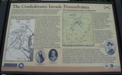
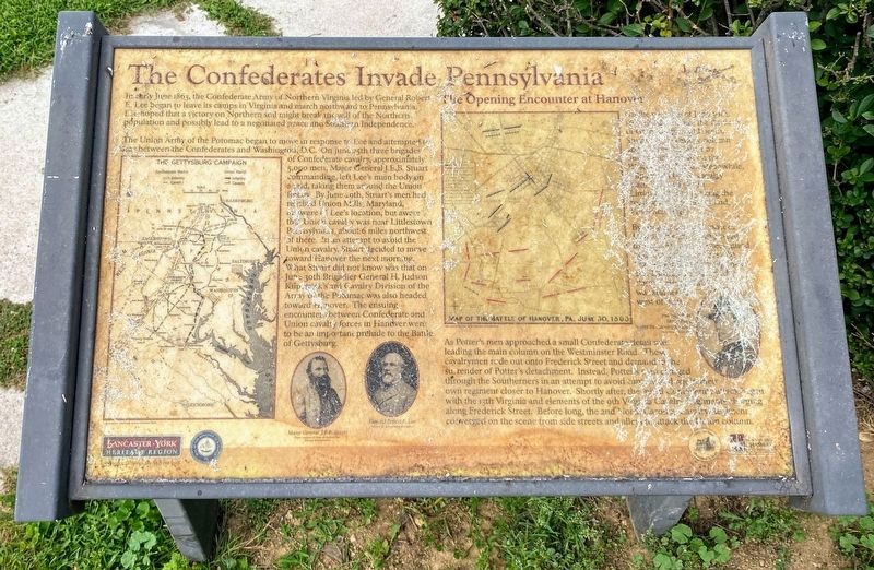
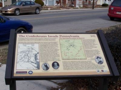
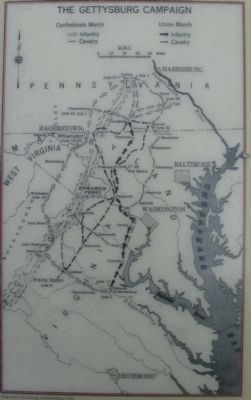
In early June 1863, the Confederate Army of Northern Virginia led by General Robert E. Lee began to leave its camps in Virginia and march northward to Pennsylvania. Lee hoped that a victory on Northern soil might break the will of the Northern population and possibly lead to a negotiated peace and Southern Independence.
The Union Army of the Potomac began to move in response to Lee and attempted to stay between the Confederates and Washington, D.C. On June 25th three brigades of Confederate cavalry, approximately 5,000 men, Major General J.E.B. Stuart commanding, left Lee's main body on a raid, taking them around the Union forces. By June 29th, Stuart's men had reached Union Mills, Maryland, unaware of Lee's location, but aware that Union cavalry was near Littlestown, Pennsylvania, about 6 miles northwest of there. In an attempt to avoid the Union cavalry, Stuart decided to move toward Hanover the next morning. What Stuart did not know was that on June 30th Brigadier General H. Judson Kirkpatrick's 3rd Cavalry Division of the Army of the Potomac was also headed toward Hanover. The ensuing encounters between Confederate and Union cavalry forces in Hanover were to be an important prelude to the Battle of Gettysburg.
The Opening Encounter at Hanover
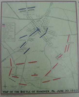
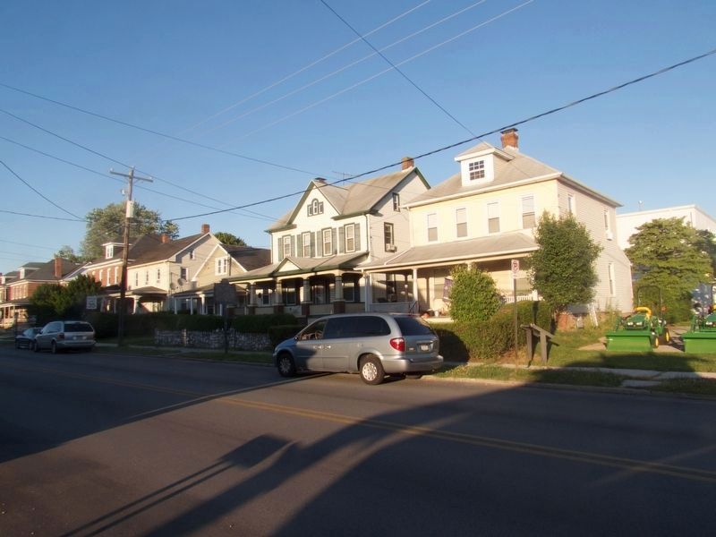
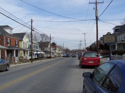
On the morning of June 30th, 1863, the day before the Battle of Gettysburg would begin, Stuart's main cavalry column approached Hanover by moving northward on the Westminster Road. Meanwhile, Kilpatrick's Union cavalry made their way from Littlestown, riding along the road where you now stand, Frederick Street.
By about 10:00 a.m., most of Kilpatrick's force had passed through Hanover. A rear guard of about 40 men of the 18th Pennsylvania cavalry regiment, 2nd Lieutenant Henry Clay Potter commanding was still southwest of here.
As Potter's men approached a small Confederate detail was leading the main column on the Westminster Road. These cavalrymen rode out onto Frederick Street and demanded the surrender of Potter's detachment. Instead, Potter's men charged through the Southerns in an attempt to avoid capture and rejoin their own regiment closer to Hanover. Shortly after, the initial Confederate attack began with the 13th Virginia and elements of the 9th Virginia Cavalry Regiments charging along Frederick Street. Before long, the 2nd North Carolina Cavalry Regiment converged on the scene from side streets and alleys to attach the Union column.
Erected by Hanover Area Historical Society.
Topics and series. This historical marker is listed in this topic list: War, US Civil. In addition, it is included in the Pennsylvania, Battle of Hanover Walking Tour
series list. A significant historical year for this entry is 1863.
Location. 39° 47.596′ N, 76° 59.484′ W. Marker is unreadable. Marker is near Hanover, Pennsylvania, in York County. It is in Penn Township. Marker is at the intersection of Frederick Street (Pennsylvania Route 194) and Stuart Avenue, on the left when traveling west on Frederick Street. Touch for map. Marker is at or near this postal address: 510 Frederick St, Hanover PA 17331, United States of America. Touch for directions.
Other nearby markers. At least 8 other markers are within walking distance of this location. Gettysburg Campaign (a few steps from this marker); Stuart's Fruitless Odyssey (a few steps from this marker); Battle of Hanover (a few steps from this marker); J.E.B. Stuart's Jump (within shouting distance of this marker); Hanover (about 600 feet away, measured in a direct line); The Forney Farms (approx. ¼ mile away); Heroics of the Union Cavalry (approx. ¼ mile away); The Center of the Storm (approx. ¼ mile away). Touch for a list and map of all markers in Hanover.
More about this marker. The marker displays maps of the Gettysburg Campaign and the Battle of Hanover. Portraits of Generals Stuart and Lee are in the lower center. On the right is portrait of 2nd Lieutenant Henry Potter, 18th Pennsylvania Cavalry.
Credits. This page was last revised on February 7, 2023. It was originally submitted on January 27, 2008, by Bill Pfingsten of Bel Air, Maryland. This page has been viewed 1,959 times since then and 23 times this year. Photos: 1. submitted on July 3, 2008, by Craig Swain of Leesburg, Virginia. 2. submitted on September 8, 2021, by Shane Oliver of Richmond, Virginia. 3. submitted on January 27, 2008, by Bill Pfingsten of Bel Air, Maryland. 4, 5. submitted on July 3, 2008, by Craig Swain of Leesburg, Virginia. 6. submitted on July 2, 2017, by Henry T. McLin of Hanover, Pennsylvania. 7. submitted on January 27, 2008, by Bill Pfingsten of Bel Air, Maryland.
