Irvine in Warren County, Pennsylvania — The American Northeast (Mid-Atlantic)
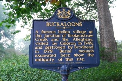
Buckaloons
Erected 1947 by Pennsylvania Historical and Museum Commission.
Topics and series. This historical marker is listed in this topic list: Native Americans. In addition, it is included in the Pennsylvania Historical and Museum Commission series list. A significant historical year for this entry is 1749.
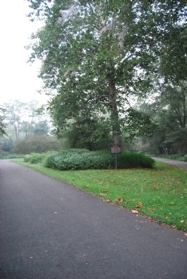
Location. 41° 50.133′ N, 79° 15.436′ W. Marker is in Irvine, Pennsylvania, in Warren County. Located at circle inside Buckaloons Recreation Area. Touch for map. Marker is in this post office area: Irvine PA 16329, United States of America. Touch for directions.
Other nearby markers. At least 8 other markers are within 6 miles of this marker, measured as the crow flies. General William Irvine (approx. 0.4 miles away); The Baby Arch (approx. 1.7 miles away); Civilian Conservation Corps (approx. 1.7 miles away); In 1795, Darius and Joseph Mead (approx. 3.4 miles away); The Mead Island Tradition (approx. 3˝ miles away); These Granite Towers Represent (approx. 3˝ miles away); Thompson's Island (approx. 3.8 miles away); In Grateful Recognition (approx. 5.4 miles away). Touch for a list and map of all markers in Irvine.

Photographed By Mike Wintermantel, September 3, 2012
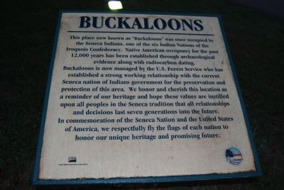
3. Buckaloons Plaque
This place now knows as "Buckaloons" was once occupied by the Seneca Indians, one of the six Indian Nations of the Iroquois Confederacy. Native American occupancy for the past 12,000 years has been established through archaeological evidence along with radiocarbon dating.
Buckaloons is now managed by the U.S. Forest Service who has established a strong working relationship with the current Seneca nation of Indians government for the preservation and protection of this area. We honor and cherish this location as a reminder of our heritage and hope these values are instilled upon all peoples in the Seneca tradition that all relationships and decision last seven generations into the future.
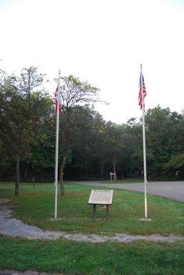
In commemoration and the United States of America, we respectfully fly the flags of each nation to honor our unique heritage and promising future.
Credits. This page was last revised on June 16, 2016. It was originally submitted on September 3, 2012, by Mike Wintermantel of Pittsburgh, Pennsylvania. This page has been viewed 1,390 times since then and 74 times this year. Photos: 1, 2, 3, 4. submitted on September 3, 2012, by Mike Wintermantel of Pittsburgh, Pennsylvania.


