Near Devore in San Bernardino County, California — The American West (Pacific Coastal)
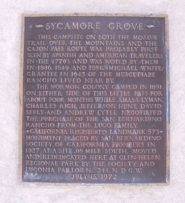
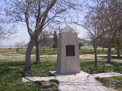
Sycamore Grove
The Mormon colony camped in 1851 on either side of this little pass for about four months while Amasa Lyman, Charles Rich, Jefferson Hunt, David Seely and Andrew Lytle negotiated the purchase of the San Bernardino Rancho from the Lugo family.
Erected 1972 by San Bernardino Society of California Pioneers in 1927 at a site .08 mile south, moved and rededicated here at Glen Helen Regional Park by the Society and Lugonia Parlors No. 241 N.D.G.W. (Marker Number 573.)
Topics and series. This historical marker is listed in these topic lists: Exploration • Notable Places. In addition, it is included in the California Historical Landmarks, the Mojave Road (Old Government Road), and the Native Sons/Daughters of the Golden West series lists. A significant historical year for this entry is 1806.
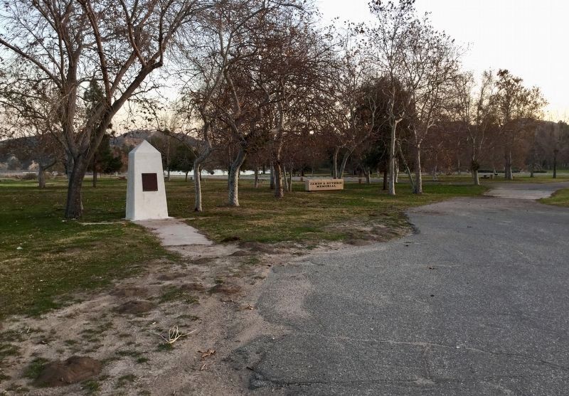
Location. 34° 12.624′ N, 117° 24.371′ W. Marker is near Devore, California, in San Bernardino County. Marker is on Devore Road south of Glen Helen Road, on the right when traveling north. Marker is located in Glen Helen Regional Park. Touch for map. Marker is at or near this postal address: 2555 Devore Road, San Bernardino CA 92407, United States of America. Touch for directions.
Other nearby markers. At least 8 other markers are within 8 miles of this marker, measured as the crow flies. Pioneer Women (approx. 0.7 miles away); Garces-Smith Monument (approx. 3.9 miles away); Lytle Creek Canyon (approx. 4˝ miles away); Blue Cut (approx. 4.9 miles away); Mormon Lumber Road (approx. 6.6 miles away); Mormon Pioneer Trail (approx. 7.2 miles away); Stoddard-Waite Monument (approx. 7.3 miles away); Santa Fe and Salt Lake Trail (approx. 7˝ miles away).
Regarding Sycamore Grove. In 1957 this was designated California Historical Landmark No. 573 - “Sycamore Valley Ranch, formerly called Sycamore Grove, was first camp of the Mormon pioneers.” Source: California Historical Landmarks, California State Parks
Credits. This page was last revised on February 5, 2024. It was originally submitted on December 28, 2011, by Michael Kindig of Elk Grove, California. This page has been viewed 1,345 times since then and 47 times this year. Last updated on December 5, 2013, by Michael Kindig of Elk Grove, California. Photos: 1, 2. submitted on December 28, 2011, by Michael Kindig of Elk Grove, California. 3. submitted on January 28, 2019, by Craig Baker of Sylmar, California. • Syd Whittle was the editor who published this page.


