Holbrook in Navajo County, Arizona — The American Mountains (Southwest)
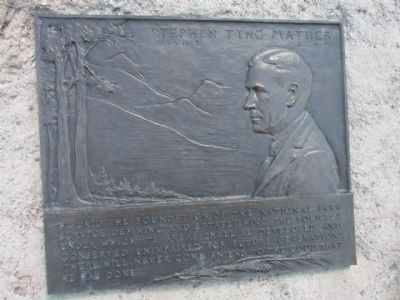
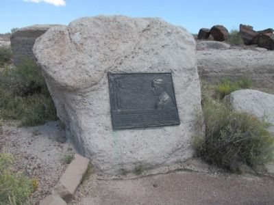
Stephen Tyng Mather
July. 4, 1867 - Jan.22, 1930
Erected by National Park Service, U.S. Department of the Interior.
Topics and series. This historical marker is listed in this topic list: Parks & Recreational Areas. In addition, it is included in the Stephen Tyng Mather series list.
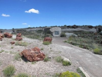
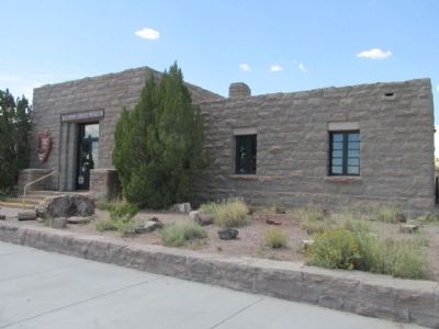
Location. 34° 48.962′ N, 109° 51.962′ W. Marker is in Holbrook, Arizona, in Navajo County. Marker is on Petrified Forest Road, on the left when traveling north. Touch for map. Marker is at or near this postal address: 1 Petrified Forest Road, Holbrook AZ 86025, United States of America. Touch for directions.
Other nearby markers. At least 8 other markers are within 11 miles of this marker, measured as the crow flies. Giant Logs (about 300 feet away, measured in a direct line); Agate House (approx. 0.8 miles away); Triassic Landscape (approx. 5.4 miles away); From Wood to Stone (approx. 5.4 miles away); Jasper Forest (approx. 6 miles away); Agate Bridge (approx. 6.7 miles away); Pioneers of Paleontology (approx. 10.3 miles away); Newspaper Rock Petroglyphs Archeological District (approx. 10.8 miles away). Touch for a list and map of all markers in Holbrook.
Regarding Stephen Tyng Mather. An identical marker also exists for Stephen T. Mather in Lassen Volcanic National Park, affixed to the side of the seismograph building.
Credits. This page was last revised on January 5, 2020. It was originally submitted on September 15, 2013, by Denise Boose of Tehachapi, California. This page has been viewed 569 times since then and 15 times this year. Last updated on January 6, 2014, by Travis Mason-Bushman of Rapid City, South Dakota. Photos: 1, 2, 3, 4, 5, 6, 7. submitted on September 15, 2013, by Denise Boose of Tehachapi, California. • Syd Whittle was the editor who published this page.
