Near Charlottesville in Albemarle County, Virginia — The American South (Mid-Atlantic)
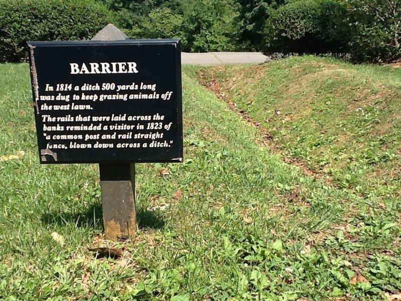
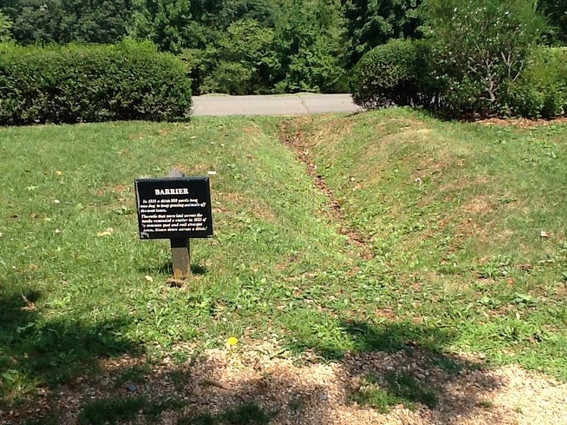
Barrier
The rails that were laid across the banks reminded a visitor in 1823 of "a common post and rail fence, blown down across a ditch."
Topics. This historical marker is listed in these topic lists: Animals • Patriots & Patriotism • Settlements & Settlers. A significant historical year for this entry is 1814.
Location. 38° 0.64′ N, 78° 27.18′ W. Marker is near Charlottesville, Virginia, in Albemarle County. Marker can be reached from Thomas Jefferson Parkway. Marker is on the grounds of Monticello—entrance fee is required. Touch for map. Marker is at or near this postal address: 949 Monticello Loop, Charlottesville VA 22902, United States of America. Touch for directions.
Other nearby markers. At least 8 other markers are within walking distance of this marker. North Pavilion (a few steps from this marker); North Terrace Wing (within shouting distance of this marker); Ice House (within shouting distance of this marker); Making Monticello (about 300 feet away, measured in a direct line); South Pavilion (about 300 feet away); A Presidential Scandal: (about 300 feet away); Sally Hemings's Life (about 300 feet away); Sally Hemings (about 300 feet away). Touch for a list and map of all markers in Charlottesville.
Credits. This page was last revised on February 2, 2023. It was originally submitted on November 27, 2016, by Michael C. Wilcox of Winston-Salem, North Carolina. This page has been viewed 480 times since then and 25 times this year. Photos: 1, 2. submitted on November 27, 2016, by Michael C. Wilcox of Winston-Salem, North Carolina.

