Fort Payne in DeKalb County, Alabama — The American South (East South Central)
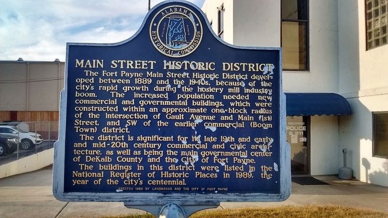
Main Street Historic District
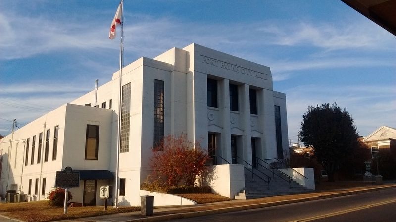
The district is significant for its late 19th and early and mid-20th century commercial and civic architecture, as well as being the main governmental center of DeKalb County and the city of Fort Payne.
The buildings in this district were listed in the National Register of Historic Places in 1989, the year of the city's centennial.
Erected 1989 by Landmarks and the City of Fort Payne.
Topics. This historical marker is listed in this topic list: Notable Places. A significant historical year for this entry is 1889.
Location. 34° 26.408′ N, 85° 43.414′ W. Marker is in Fort Payne, Alabama, in DeKalb County. Marker is at the intersection of Gault Avenue South (U.S. 11) and 2nd Street SW, on the left when traveling north on Gault Avenue South. Touch for map. Marker is at or near this postal address: 200 Gault Ave S #1, Fort Payne AL 35967, United States of America. Touch for directions.
Other nearby markers. At least 8 other markers are within walking distance of this marker. Cherokee Indian Removal (about 600 feet away, measured in a direct line); Fort Payne Cabin Historic Site (about 800 feet away); Alabama (approx. 0.3 miles away); Whittler's Corner (approx. 0.3 miles away); Sequoyah (approx. 0.3 miles away); Wills Town Mission (approx. 0.3 miles away); Fort Payne’s Fort (approx. 0.3 miles away); Confederate Monument (approx. 0.4 miles away). Touch for a list and map of all markers in Fort Payne.
Credits. This page was last revised on November 28, 2016. It was originally submitted on November 27, 2016, by Tom Bosse of Jefferson City, Tennessee. This page has been viewed 582 times since then and 41 times this year. Photos: 1, 2, 3. submitted on November 27, 2016, by Tom Bosse of Jefferson City, Tennessee. • Bernard Fisher was the editor who published this page.


