Vero Beach in Indian River County, Florida — The American South (South Atlantic)
Vero Beach City Hall
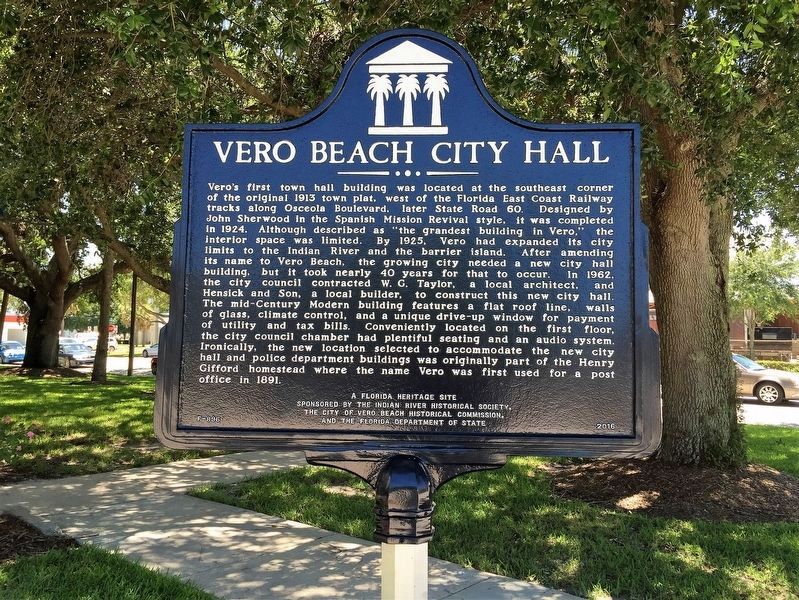
Photographed by Jay Kravetz, June 23, 2016
1. Vero Beach City Hall Marker
this page online
Erected 2016 by Indian River Historical Society, City of Vero Beach Historical Commission, Florida Department of State. (Marker Number F-896.)
Topics. This historical marker is listed in this topic list: Notable Buildings.
Location. 27° 38.325′ N, 80° 23.697′ W. Marker is in Vero Beach, Florida, in Indian River County. It is at the intersection of 20th Place (State Road 60) and 11th Avenue, on the left when traveling west on 20th Place. Touch for map. Marker is at or near this postal address: 1053 20th Place, Vero Beach FL 32960, United States of America. Touch for directions.

Regionally, this marker is in the Space Coast. It is also in the American South and on the Eastern Seaboard. Globally, it is in the North Atlantic Region, North America, a Gulf of Mexico state, the Western Hemisphere, the Western World, and the Anglosphere. Historically, it finds itself in what was once New Spain, the territory of the Mississippian Culture, one of the Confederate States of America, and
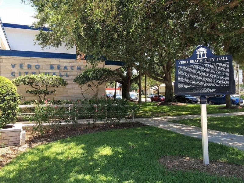
Photographed by Jay Kravetz, June 23, 2016
2. Vero Beach City Hall Marker
Other nearby markers. At least 8 other markers are within walking distance of this marker: The Big Flywheel (approx. 0.2 miles away); The Pueblo Arcade (approx. ¼ mile away); Theater Plaza (approx. ¼ mile away); Simmons / Seminole Building (approx. ¼ mile away); Centennial Fountain (approx. ¼ mile away); William Jennings Bryan (approx. ¼ mile away); Community Building (approx. ¼ mile away); Regent Court (approx. 0.3 miles away). Touch for a list and map of all markers in Vero Beach.
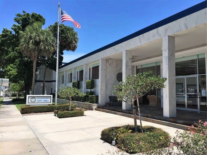
Photographed by Jay Kravetz, June 23, 2016
3. Vero Beach City Hall
Credits. This page was last revised on November 28, 2016. It was originally submitted on November 27, 2016, by Jay Kravetz of West Palm Beach, Florida. This page has been viewed 707 times since then and 60 times this year. Photos: 1, 2, 3. submitted on November 27, 2016, by Jay Kravetz of West Palm Beach, Florida. • Bernard Fisher was the editor who published this page.
