
Fostoria in Seneca County, Ohio — The American Midwest (Great Lakes)
Risdon Square
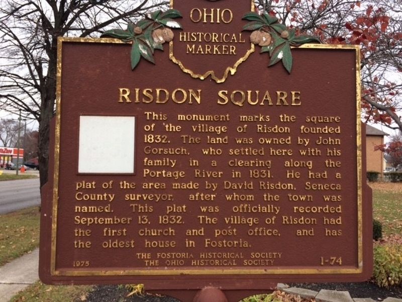
Photographed by Michael Baker
1. Risdon Square Marker
Erected 1975 by The Fostoria Historical Society The Ohio Historical Society. (Marker Number 1-74.)
Topics and series. This historical marker is listed in this topic list: Settlements & Settlers. In addition, it is included in the Ohio Historical Society / The Ohio History Connection series list. A significant historical date for this entry is September 13, 1832.
Location. 41° 9.929′ N, 83° 25.264′ W. Marker is in Fostoria, Ohio, in Seneca County. It is at the intersection of North County Line Road and Summit Street, on the right when traveling north on North County Line Road. Touch for map. Marker is in this post office area: Fostoria OH 44830, United States of America. Touch for directions.

Regionally,
this page online
Other nearby markers. At least 8 other markers are within walking distance of this marker: Veterans Memorial (approx. 0.4 miles away); Veterans Memorial Flagpole (approx. 0.4 miles away); "Lest We Forget" (approx. 0.4 miles away); Vietnam Veterans Memorial (approx. half a mile away); Fostoria Civil War Memorial (approx. half a mile away); St. Wendelin Parish's Cross (approx. half a mile away); a different marker also named Fostoria (approx. 0.6 miles away); Gingko Tree (approx. 0.7 miles away). Touch for a list and map of all markers in Fostoria.
Another marker is no longer nearby. Fostoria, Ohio (was approx. 0.4 miles away but has been confirmed missing).
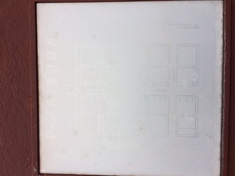
Photographed by Michael Baker
2. Risdon Square Marker
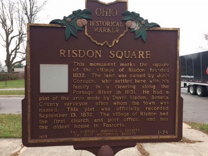
Photographed by Michael Baker
3. Risdon Square Marker
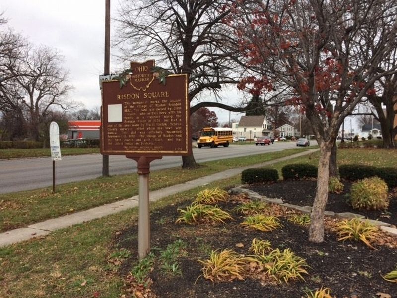
Photographed by Michael Baker
4. Risdon Square Marker
Photographed by Bryan Davis, circa January 28, 2023
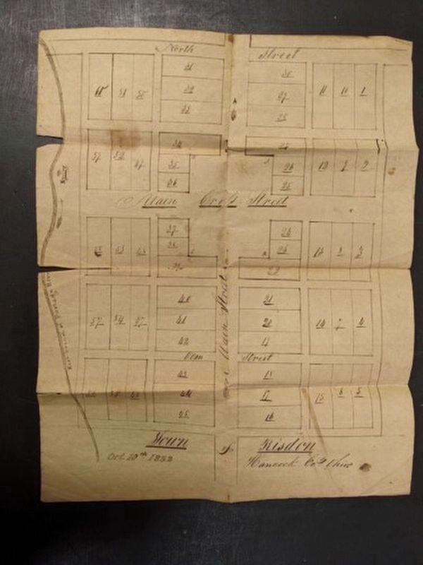
5. Original 1832 Risdon Plat Map
Credits. This page was last revised on February 4, 2023. It was originally submitted on December 2, 2016, by Michael Baker of Lima, Ohio. This page has been viewed 905 times since then and 38 times this year. Photos: 1, 2, 3, 4. submitted on December 2, 2016, by Michael Baker of Lima, Ohio. 5. submitted on January 30, 2023, by Bryan Davis of Houston, Texas. • Bill Pfingsten was the editor who published this page.
