Near Montague in Siskiyou County, California — The American West (Pacific Coastal)
Schmitt Brothers Mill
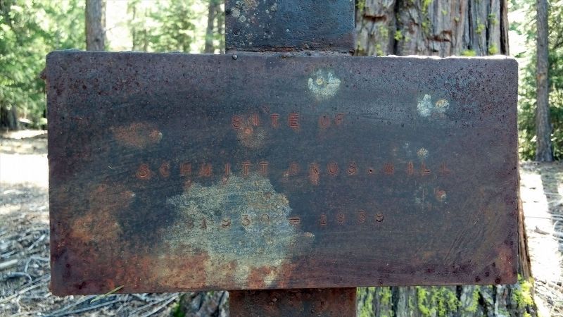
Schmitt Bros. Mill
1930 - 1939
Erected by E Clampus Vitus, Humbug Chapter No. 73.
Topics and series. This historical marker is listed in this topic list: Notable Places. In addition, it is included in the E Clampus Vitus series list. A significant historical year for this entry is 1930.
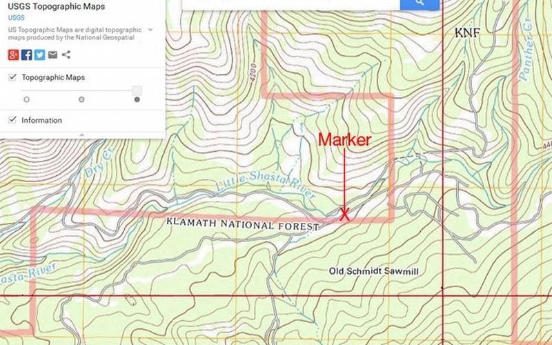
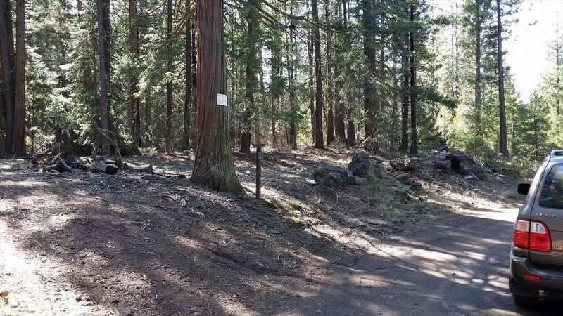
Location. 41° 45.341′ N, 122° 15.288′ W. Marker is near Montague, California, in Siskiyou County. Marker can be reached from Ball Mountain Little Shasta Road, on the right when traveling east. This marker is only accessible during summer months due to poor road conditions. 4x4 vehicle preferred. Touch for map. Marker is in this post office area: Montague CA 96064, United States of America. Touch for directions.
Other nearby markers. At least 8 other markers are within 10 miles of this marker, measured as the crow flies. Tailholt (approx. 6.3 miles away); Little Shasta Congregational Church (approx. 7.6 miles away); Yreka Trail - Down Shasta Valley (approx. 9.2 miles away); Yreka Trail - A Big Meadow (approx. 9.8 miles away); Yreka Trail - The Snelling Ranch (approx. 9.9 miles away); Yreka Trail – A Splendid Cite (approx. 10 miles away); Mount Shasta (approx. 10 miles away); Yreka Trail - Down hill to Sheep Rock (approx. 10 miles away). Touch for a list and map of all markers in Montague.
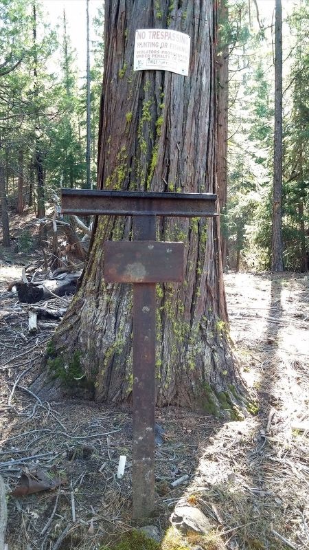
More about this marker . Marker is easy to miss if you're not paying attention.
Also see . . . Jefferson Backroads, December 2012 issue. E Clampus Vitus historical article for Schmitt Brothers Mill on page 28. When first erected, the Chapter had the trail marker etched as “the site of Deter Mill.” Discovering their error,
Credits. This page was last revised on November 25, 2020. It was originally submitted on December 5, 2016, by Douglass Halvorsen of Klamath Falls, Oregon. This page has been viewed 274 times since then and 9 times this year. Photos: 1, 2, 3, 4. submitted on December 5, 2016, by Douglass Halvorsen of Klamath Falls, Oregon. • Syd Whittle was the editor who published this page.


