
Klamath Falls in Klamath County, Oregon — The American West (Northwest)
Lost River Gap and Ford
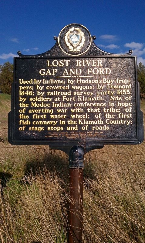
Photographed By Douglass Halvorsen, May 17, 2012
1. Lost River Gap and Ford Marker
Erected 1967 by Klamath Chapter; Oregon State Society National Society of the Daughters of the American Colonists.
Topics and series. This historical marker is listed in this topic list: Notable Places. In addition, it is included in the Daughters of the American Colonists series list. A significant historical year for this entry is 1846.
Location. 42° 10.377′ N, 121° 37.053′ W. Marker is in Klamath Falls, Oregon, in Klamath County. Marker is on Crystal Springs / S Poe Valley Rd, on the right when traveling east. Touch for map. Marker is in this post office area: Klamath Falls OR 97603, United States of America. Touch for directions.
Other nearby markers. At least 8 other markers are within 9 miles of this marker, measured as the crow flies. Competing Attractions (about 600 feet away, measured in a direct line); Swede’s Cut (approx. 4.3 miles away); Henley School World War II Memorial (approx. 4.4 miles away); Mt. Laki Community Presbyterian Church World War II Memorial (approx. 5.9 miles away); Beginning of a Trail
this page online
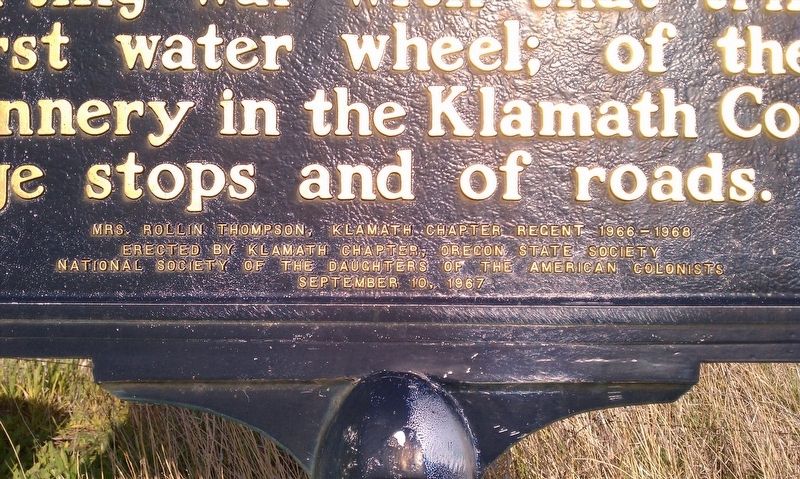
Photographed By Douglass Halvorsen, May 17, 2012
2. Lost River Gap and Ford Marker
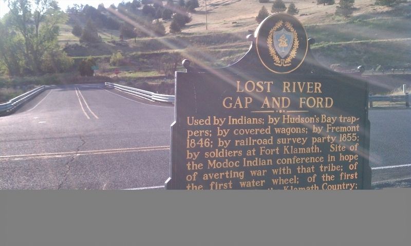
Photographed By Douglass Halvorsen, May 17, 2012
3. Lost River Gap and Ford Marker
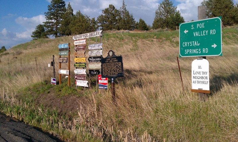
Photographed By Douglass Halvorsen, May 17, 2012
4. Lost River Gap and Ford Marker
Credits. This page was last revised on December 9, 2016. It was originally submitted on December 5, 2016, by Douglass Halvorsen of Klamath Falls, Oregon. This page has been viewed 387 times since then and 27 times this year. Photos: 1, 2, 3, 4. submitted on December 5, 2016, by Douglass Halvorsen of Klamath Falls, Oregon. • Bill Pfingsten was the editor who published this page.

