Tulsa in Tulsa County, Oklahoma — The American South (West South Central)
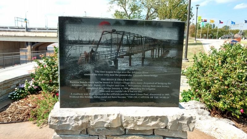
The Bridge that Saved Tulsa
The first wagon bridge over the Arkansas River crossed the river very near the present day Eleventh Street bridge.
A roadway was thus opened to the oilfields and the Great Glenn Pool, discovered in 1905. Without this bridge, Tulsa could not have become
Topics. This historical marker is listed in these topic lists: Bridges & Viaducts • Industry & Commerce • Roads & Vehicles • Settlements & Settlers. A significant historical date for this entry is January 4, 1904.
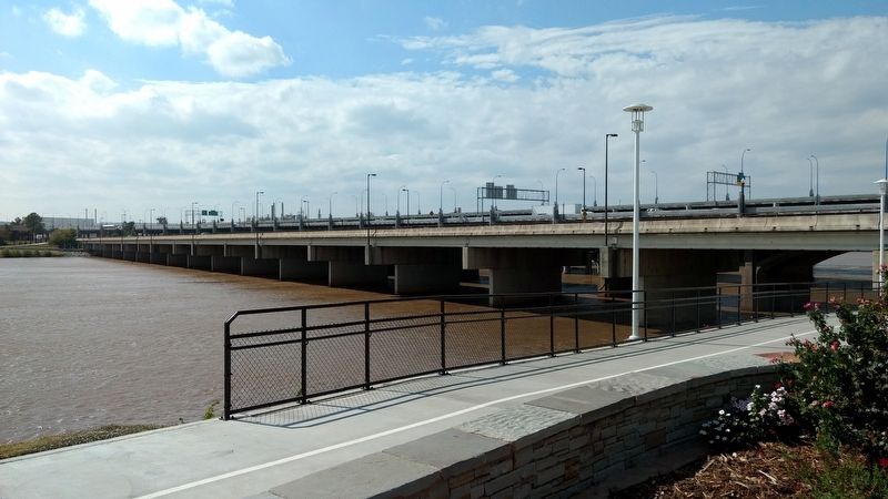
Location. 36° 8.627′ N, 96° 0.158′ W. Marker is in Tulsa, Oklahoma, in Tulsa County. Marker is on Riverside Drive, on the left when traveling north. The marker is on a split on the River Parks East Trail, just south of the intersection between Riverside Drive and Southwest Blvd/Route 66 and just south down Riverside Drive from Cyrus Avery Centennial Plaza. Touch for map. Marker is in this post office area: Tulsa OK 74119, United States of America. Touch for directions.
Other nearby markers. At least 8 other markers are within walking distance of this marker. The Bridge Builder (about 300 feet away, measured in a direct line); Cyrus Avery Route 66 Memorial Bridge (about 300 feet away); "East Meets West" (about 300 feet away); Cyrus Stevens Avery (about 300 feet away); Tulsa's 11th Street Bridge (about 400 feet away); a different marker also named Tulsa's 11th Street Bridge (about 400 feet away); Oil Capital Motel (approx. 0.3 miles away); Will Rogers Motor Court (approx. 0.3 miles away). Touch for a list and map of all markers in Tulsa.
Credits. This page was last revised on December 12, 2016. It was originally submitted on December 7, 2016, by Kevin Hoch of Waco, Texas. This page has been viewed 632 times since then and 65 times this year. Photos: 1, 2. submitted on December 7, 2016, by Kevin Hoch of Waco, Texas. • Bill Pfingsten was the editor who published this page.

