Loyola Corners in Los Altos in Santa Clara County, California — The American West (Pacific Coastal)
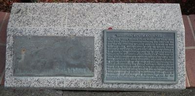
Historic Loyola Corners
Photographed by Barry Swackhamer, December 7, 2016
1. Historic Loyola Corners Marker
Erected by Loyola Corners Business Association.
Topics. This historical marker is listed in these topic lists: Industry & Commerce
this page online
Location. 37° 21.251′ N, 122° 5.337′ W. Marker is in Los Altos, California, in Santa Clara County. It is in Loyola Corners. It is on Fremont Avenue near Dolores Avenue, on the right when traveling north. Touch for map. Marker is at or near this postal address: 929 Fremont Avenue, Los Altos CA 94024, United States of America. Touch for directions.

Regionally, this marker is in California’s San Francisco Bay Area, in Silicon Valley, and on the Coast Ranges. It is also on the American Pacific Coast. Globally, it is in North America, on the Ring of Fire, on the Pacific Rim, in the Western Hemisphere, in the Western World, and in the Anglosphere. Historically, it finds itself in what was once New Spain and also Mexico’s Alta California.
Other nearby markers. At least 8 other markers are within 3 miles of this marker, measured as the crow flies: St. Joseph’s College (approx. 1.4 miles away); Blue and Gold Kennel Club (approx. 1.4 miles away); Site of Witness Tree (approx. 1½ miles away); William Wright Ranch (approx. 1.7 miles away); Southern Pacific Railroad Station
Photographed by Barry Swackhamer, December 7, 2016
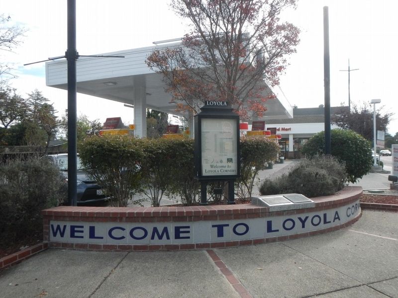
2. Historic Loyola Corners Marker
Credits. This page was last revised on February 7, 2023. It was originally submitted on December 8, 2016, by Barry Swackhamer of Brentwood, California. This page has been viewed 1,904 times since then and 131 times this year. Photos: 1, 2. submitted on December 8, 2016, by Barry Swackhamer of Brentwood, California.
