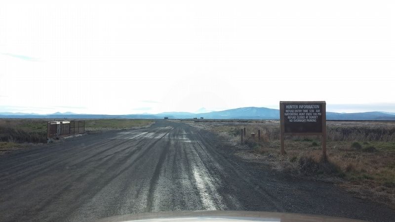
Tulelake in Siskiyou County, California — The American West (Pacific Coastal)
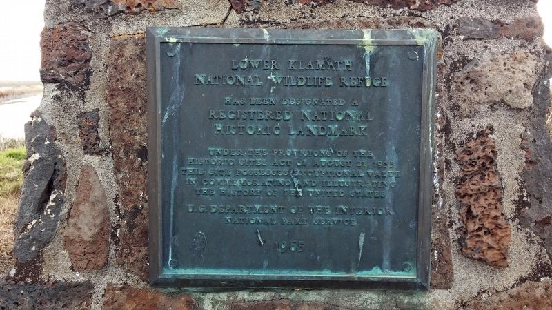
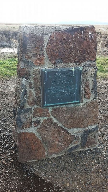
Lower Klamath National Wildlife Refuge
Inscription.
Registered National
Historic Landmark
Under the Provisions of the Historic Sites Act of
August 21, 1935
This Site Possesses Exceptional Value
in Commemorating and Illustrating
the History of the Unites States U.S. Department of the Interior National Park Service
Erected 1965.
Topics and series. This historical marker is listed in this topic list: Landmarks. In addition, it is included in the National Historic Landmarks series list.
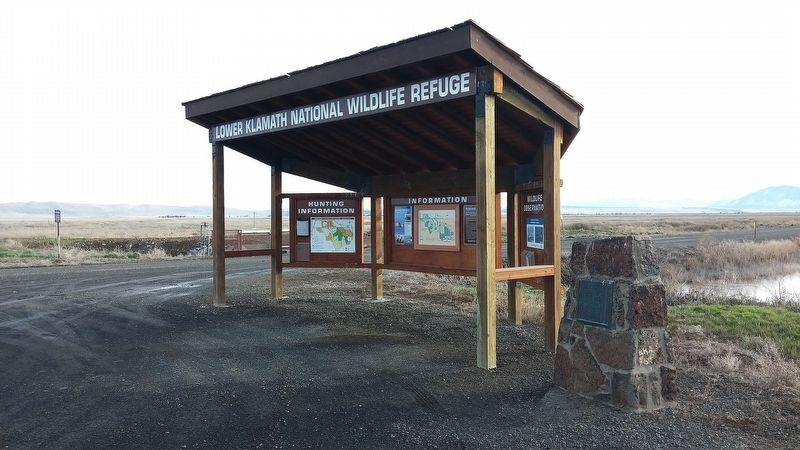
Location. 41° 59.714′ N, 121° 42.708′ W. Marker is in Tulelake, California, in Siskiyou County. Marker is on Lower Klamath Auto Tour Route. Touch for map. Marker is in this post office area: Tulelake CA 96134, United States of America. Touch for directions.
Other nearby markers. At least 8 other markers are within 8 miles of this marker, measured as the crow flies. White Lake City (approx. 3.6 miles away in Oregon); Applegate Trail - Clammett Lake (approx. 6 miles away); Applegate Trail - Campt (approx. 7.1 miles away); Applegate Trail - Up a Steep Hill (approx. 7.2 miles away); Camp Tulelake (approx. 7.7 miles away); The Applegate Trail (approx. 7.8 miles away in Oregon); The Stone Bridge (approx. 7.8 miles away in Oregon); a different marker also named Stone Bridge (approx. 7.8 miles away in Oregon). Touch for a list and map of all markers in Tulelake.
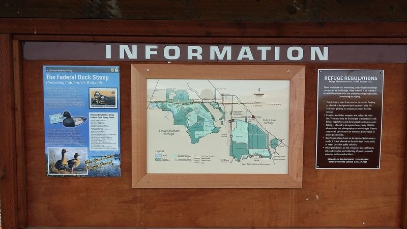
Regarding Lower Klamath National Wildlife Refuge. The Lower Klamath National Wildlife Refuge, located in rural northeastern California and southern Oregon, was established by President Theodore Roosevelt in 1908 as the nation's first waterfowl refuge. The refuge, with a backdrop of 14,000-foot Mount Shasta to the southwest, is listed in the National Register of Historic Places as both a National Historic Landmark and a National Natural Landmark.
The 50,092-acre refuge is a varied mix of intensively managed shallow marshes, open water, grassy uplands, and croplands that provide feeding, resting, nesting, and brood-rearing habitat for waterfowl and other water birds. This refuge is one of the most biologically productive refuges within the Pacific Flyway.
Approximately 80 percent of the flyway's migrating waterfowl pass through the Klamath Basin on both spring and fall migrations, with 50 percent using the refuge. Peak waterfowl populations can reach 1.8 million birds, which represent 15 to 45 percent of the total birds wintering
in California. The refuge produces between 30,000 and 60,000 waterfowl annually.
The refuge is also a fall staging area for 20 to 30 percent of the central valley population of sandhill crane. From 20,000 to 100,000 shorebirds use refuge wetlands during the spring migration. Wintering wildlife populations include 500 bald eagle and 30,000 tundra swan. Spring and summer nesting wildlife include many colonial water birds, such as white-faced ibis, heron, egret, cormorant, grebe, white pelican, and gulls.
In all, the refuge provides habitat for 25 species of special concern listed as threatened or sensitive by California and Oregon. All refuge waters are delivered through a system of diversion or irrigation canals associated with the U.S. Bureau of Reclamation's Klamath Project. Consequently this leaves the refuge vulnerable to periodic water shortages due to an over-allocated system.
Also see . . . Lower Klamath National Wildlife Refuge website. (Submitted on December 5, 2016, by Douglass Halvorsen of Klamath Falls, Oregon.)
Credits. This page was last revised on December 9, 2016. It was originally submitted on December 5, 2016, by Douglass Halvorsen of Klamath Falls, Oregon. This page has been viewed 331 times since then and 20 times this year. Last updated on December 9, 2016, by Douglass Halvorsen of Klamath Falls, Oregon. Photos: 1, 2, 3, 4, 5. submitted on December 5, 2016, by Douglass Halvorsen of Klamath Falls, Oregon. • Bill Pfingsten was the editor who published this page.
