Groom in Carson County, Texas — The American South (West South Central)
State National Bank
Photographed by Bill Kirchner, November 16, 2016
1. State National Bank Marker
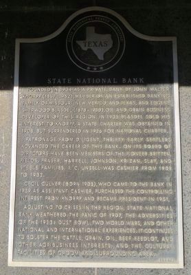
Patronage from diligent, thrifty early settlers advanced the career of this bank. On its Board of Directors have been members of the pioneer Britten, Fields, Fraser, Harrell, Johnson, Krizan, Slay, and Steele families. I. C. Unsell was cashier from 1908 to 1932.
Cecil Culver (born 1903), who came to the bank in 1929 as assistant cashier, purchased the controlling interest from Knorpp and became president in 1951.
Adjusting to the crises in the region, State National Bank weathered the panic of 1907, the adversities of the 1930s Dust Bowl, two World Wars, and other national and international experiences. It continues to bolster the cattle, grain, oil, beef feedlot, and other agribusiness interests, and the cultural facilities of Groom and surrounding area.
Erected 1972
this page online
Topics. This historical marker is listed in this topic list: Industry & Commerce. A significant historical year for this entry is 1904.
Location. 35° 12.091′ N, 101° 6.481′ W. Marker is in Groom, Texas, in Carson County. It is at the intersection of Broadway and West 1st Street, on the right when traveling south on Broadway. Marker is on the southwest corner. Touch for map. Marker is in this post office area: Groom TX 79039, United States of America. Touch for directions.

Regionally, this marker is on the Texas Panhandle. It is also on the American Great Plains and specifically on the Southern Plains. Globally, it is in North America, a Gulf of Mexico state, the Western Hemisphere, the Western World, and the Anglosphere. Historically, it finds itself in what was once New Spain, the Comanchería, the Dust Bowl, the Republic of Texas, and one of the Confederate States of America.
Other nearby markers. At least 7 other markers are within 13 miles of this marker, measured as the crow flies: Dr. Charles L. Fields (within shouting distance of this marker); City of Groom
Photographed by Bill Kirchner, November 16, 2016
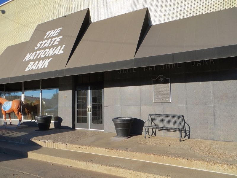
2. State National Bank Marker
Photographed by Bill Kirchner, November 16, 2016
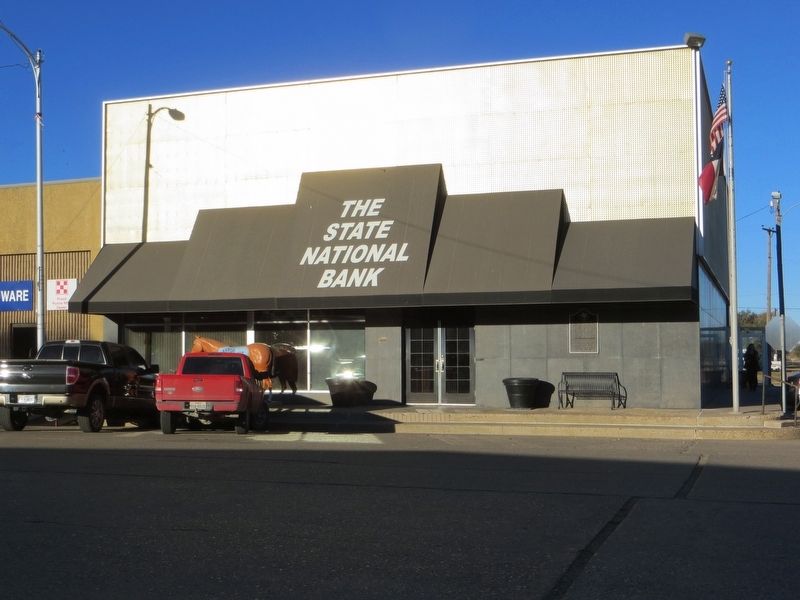
3. State National Bank
Credits. This page was last revised on December 10, 2016. It was originally submitted on December 10, 2016, by Bill Kirchner of Tucson, Arizona. This page has been viewed 799 times since then and 24 times this year. Photos: 1, 2, 3. submitted on December 10, 2016, by Bill Kirchner of Tucson, Arizona.
