Saint Rose in St. Charles Parish, Louisiana — The American South (West South Central)
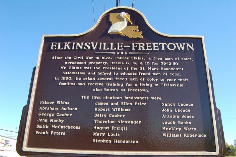
Elkinsville-Freetown
After the Civil War in 1873, Palmer Elkins, a free man of color, purchased property, tracts 8, 9, & 10 for $943.50. Mr. Elkins was the President of the St. Mary Benevolent Association and helped to educate freed men of color. In 1880, he asked several freed men of color to rear their families and receive training for a living in Elkinsville, also known as Freetown.
Abraham Jackson
George Cacher
John Marby
Smith McCutcheons
Frank Peters
James and Ellen Price
Robert Williams
Betsy Cacher
Thorton Alexander
August Freigil
Mary Louis
Stephen Henderson
Nancy Leonce
John Leonce
Antoine Jones
Jacob Banks
Hockley Watts
Williams Robertson
Topics. This historical marker is listed in these topic lists: African Americans • Settlements & Settlers.
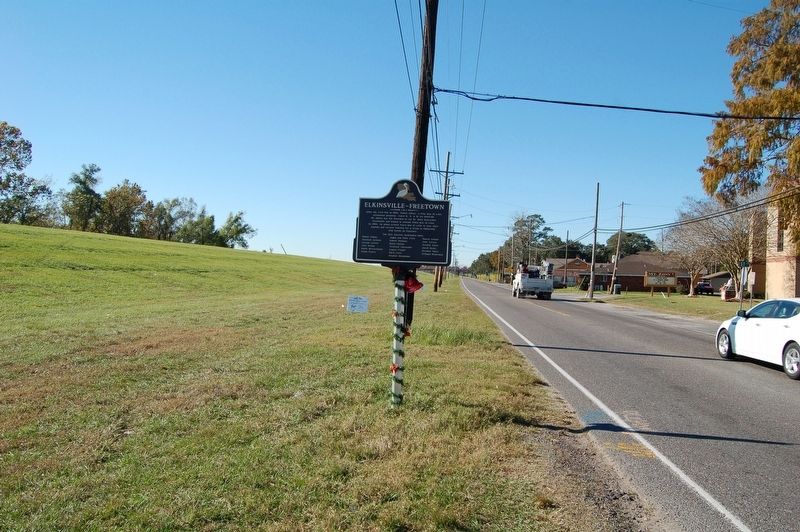
Location. 29° 56.554′ N, 90° 19.275′ W. Marker is in Saint Rose, Louisiana, in St. Charles Parish. Marker is on River Road (State Highway 48) near 1st Street, on the right when traveling south. Located on the levee at 1st Street terminus. Touch for map. Marker is in this post office area: Saint Rose LA 70087, United States of America. Touch for directions.
Other nearby markers. At least 8 other markers are within 4 miles of this marker, measured as the crow flies. Labranche Plantation Dependency (approx. ¾ mile away); Mule Barn (approx. 2.6 miles away); Destrehan Plantation (approx. 2.6 miles away); Destrehan Manor House (approx. 2.7 miles away); George Prince Ferry Memorial (approx. 3 miles away); Hale Boggs Bridge (approx. 3 miles away); Saint Charles Borromeo Church (approx. 3.3 miles away); St. Charles Borromeo "Little Red Church" (approx. 3.3 miles away).
Credits. This page was last revised on January 26, 2024. It was originally submitted on December 11, 2016, by Cajun Scrambler of Assumption, Louisiana. This page has been viewed 787 times since then and 82 times this year. Photos: 1, 2. submitted on December 11, 2016.

