Stonycreek Township near Indian Lake in Somerset County, Pennsylvania — The American Northeast (Mid-Atlantic)
September 11, 2001
Flight 93 National Memorial
— National Park Service, U.S. Department of the Interior —
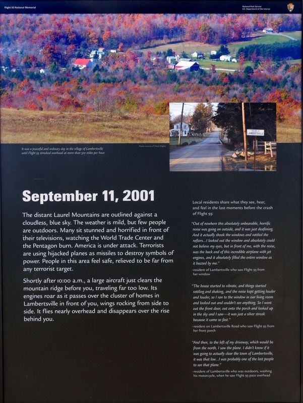
The distant Laurel Mountains are outlined against a cloudless, blue sky. The weather is mild, but few people are outdoors. Many sit stunned and horrified in front of their televisions, watching the World Trade Center and the Pentagon burn. America is under attack. Terrorists are using hijacked planes as missiles to destroy symbols of power. People in this area feel safe, relieved to be far from any terrorist target.
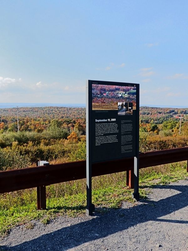
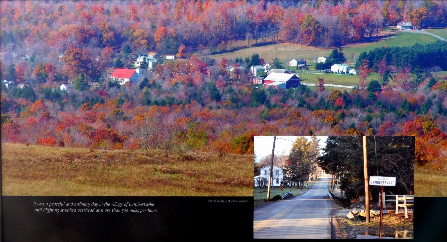
Shortly after 10:00 a.m., a large aircraft just clears the mountain ridge before you, traveling far too low. Its engines roar as it passes over the cluster of homes in Lambertsville in front of you, wings rocking from side to side. It flies nearly overhead and disappears over the rise behind you.
Local residents share what they see, hear, and feel in the last moments before the crash of Flight 93:
"Out of nowhere this absolutely unbearable, horrific noise was going on outside, and it was just deafening. And it actually shook the windows and rattled the rafters… I looked out the window and absolutely could not believe my eyes, but in front of me, with the noise, was the back end of this incredible airplane with jet engines, and it absolutely filled the entire window as it buzzed by me." - resident of Lambertsville who saw Flight 93 from her window
"The house started to vibrate, and things started rattling and shaking, and the noise kept getting louder and louder, so I ran to the window in our living room and looked out and couldn't see anything. So I went out the front door, out onto the porch and looked up in the sky and I saw it was just a silver streak because it came so fast." -resident on Lambertsville Road who saw Flight 93 from her front porch
"And then, to the left of my driveway, which would be from the north, I saw the plane. I didn't know if it was going to actually clear the town of Lambertsville, it was that low … I was probably one of the last people to see that plane." - resident of Lambertsville who was outdoors, washing his motorcycle, when he saw Flight 93 pass overhead
Topics. This historical marker is listed in these topic lists: 9/11 Attacks • Air & Space.
Location. 40° 3.694′ N, 78° 54.389′ W. Marker is near Indian Lake, Pennsylvania, in Somerset County. It is in Stonycreek Township. Marker is on Approach Road, on the right when traveling south. Touch for map. Marker is in this post office area: Stoystown PA 15563, United States of America. Touch for directions.
Other nearby markers. At least 8 other markers are within walking distance of this marker. Welcome To Flight 93 National Memorial (approx. 0.4 miles away); The Search for Evidence (approx. 0.4 miles away); Flight 93 (approx. 0.4 miles away); First View (approx. half a mile away); Flight 93 Temporary Memorial (approx. half a mile away); Overlooking History (approx. half a mile away); Flight 93 National Memorial (approx. half a mile away); A Field of Honor (approx. 0.7 miles away). Touch for a list and map of all markers in Indian Lake.
Credits. This page was last revised on February 7, 2023. It was originally submitted on December 21, 2016, by Allen C. Browne of Silver Spring, Maryland. This page has been viewed 424 times since then and 10 times this year. Photos: 1, 2, 3. submitted on December 21, 2016, by Allen C. Browne of Silver Spring, Maryland. • Bill Pfingsten was the editor who published this page.


