Near Oroville in Butte County, California — The American West (Pacific Coastal)
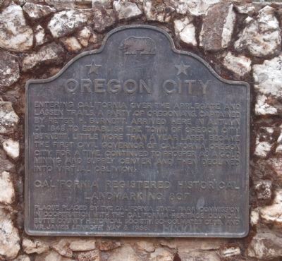
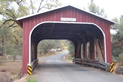
Oregon City
Erected 1966 by California State Park Commission in cooperation with the California Heritage Council, Butte County Historical Society, Schoolmates Club and Mr. James Lenhoff. (Marker Number 807.)
Topics and series. This historical marker is listed in this topic list: Settlements & Settlers. In addition, it is included in the California Historical Landmarks series list. A significant historical year for this entry is 1848.
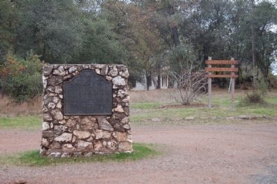
Location. 39° 35.55′ N, 121° 31.729′ W. Marker is near Oroville, California, in Butte County. Marker is at the intersection of Oregon Gulch Road and Oregon City Trail, on the left when traveling south on Oregon Gulch Road. Touch for map. Marker is at or near this postal address: 2100 Oregon Gulch Road, Oroville CA 95965, United States of America. Touch for directions.
Other nearby markers. At least 8 other markers are within 6 miles of this marker, measured as the crow flies. Oregon City Cemetery (approx. 0.2 miles away); Morris Ravine School (approx. 3.1 miles away); Long's Bar (approx. 3˝ miles away); Cherokee (approx. 3.7 miles away); Oroville Dam (approx. 4 miles away); Pioneer Miners Of Thompson Flat District (approx. 4.2 miles away); Pioneer Cemetery (approx. 4.2 miles away); Autumn Harvest (approx. 5.2 miles away). Touch for a list and map of all markers in Oroville.
Credits. This page was last revised on July 27, 2018. It was originally submitted on December 10, 2012, by Barry Swackhamer of Brentwood, California. This page has been viewed 561 times since then and 19 times this year. Last updated on December 22, 2016, by Michael Kindig of Elk Grove, California. Photos: 1, 2, 3, 4, 5, 6. submitted on December 10, 2012, by Barry Swackhamer of Brentwood, California. • Syd Whittle was the editor who published this page.
