Myrtle Beach in Horry County, South Carolina — The American South (South Atlantic)
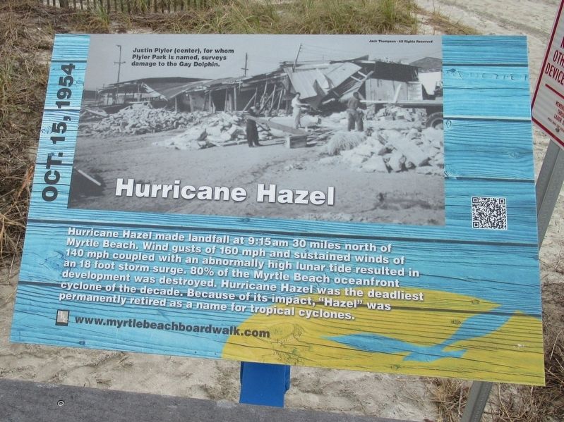
Hurricane Hazel
Oct. 15, 1954
Topics. This historical marker is listed in this topic list: Disasters.
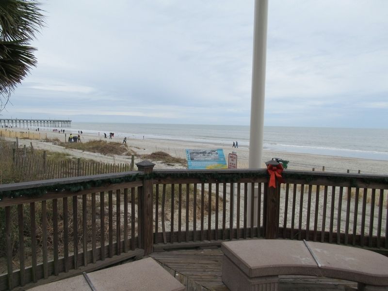
Location. 33° 41.552′ N, 78° 52.694′ W. Marker is in Myrtle Beach, South Carolina, in Horry County. Marker can be reached from North Ocean Boulevard near 9th Ave. N., on the right when traveling north. Located on the Myrtle Beach Boardwalk and Promenade. Touch for map. Marker is at or near this postal address: 960 Ocean Front Broadwalk, Myrtle Beach SC 29577, United States of America. Touch for directions.
Other nearby markers. At least 8 other markers are within walking distance of this marker. Hurricane Hugo (within shouting distance of this marker); Salt Works (within shouting distance of this marker); Marine Amphibious Assault (within shouting distance of this marker); Grand Strand (about 300 feet away, measured in a direct line); a different marker also named Hurricane Hazel (about 300 feet away); The King’s Highway (about 300 feet away); Site Of The Seaside Hotel (about 400 feet away); Justin W. Plyler Boardwalk Park (about 400 feet away). Touch for a list and map of all markers in Myrtle Beach.
Also see . . . Myrtle Beach Boardwalk. (Submitted on January 2, 2017, by Michael Herrick of Southbury, Connecticut.)
Credits. This page was last revised on January 2, 2017. It was originally submitted on January 2, 2017, by Michael Herrick of Southbury, Connecticut. This page has been viewed 1,190 times since then and 22 times this year. Photos: 1, 2. submitted on January 2, 2017, by Michael Herrick of Southbury, Connecticut.

