Myrtle Beach in Horry County, South Carolina — The American South (South Atlantic)
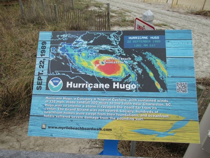
Hurricane Hugo
Sept. 22, 1989
Topics. This historical marker is listed in this topic list: Disasters. A significant historical date for this entry is September 22, 1989.
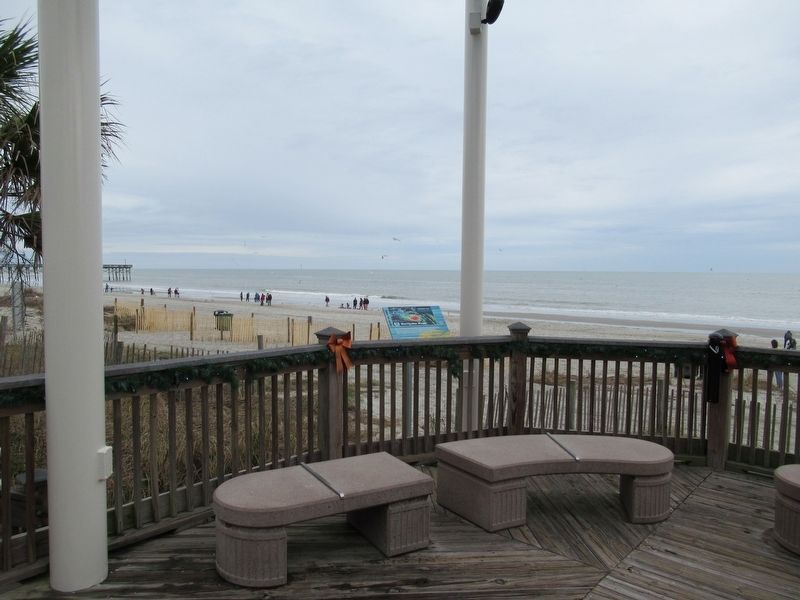
Location. 33° 41.57′ N, 78° 52.674′ W. Marker is in Myrtle Beach, South Carolina, in Horry County. Marker is at the intersection of North Ocean Boulevard and 10th Avenue North, on the right when traveling north on North Ocean Boulevard. Located on the Myrtle Beach Boardwalk and Promenade. Touch for map. Marker is at or near this postal address: 918 N Ocean Blvd, Myrtle Beach SC 29577, United States of America. Touch for directions.
Other nearby markers. At least 8 other markers are within walking distance of this marker. Grand Strand (within shouting distance of this marker); Hurricane Hazel (within shouting distance of this marker); Site Of The Seaside Hotel (within shouting distance of this marker); Justin W. Plyler Boardwalk Park (about 300 feet away, measured in a direct line); Salt Works (about 300 feet away); Marine Amphibious Assault (about 300 feet away); a different marker also named Hurricane Hazel (about 500 feet away); The King’s Highway (about 500 feet away). Touch for a list and map of all markers in Myrtle Beach.
Also see . . .
1. Hurricane Hugo on Wikipedia. (Submitted on January 2, 2017, by Michael Herrick of Southbury, Connecticut.)
2. Myrtle Beach Boardwalk. (Submitted on January 2, 2017, by Michael Herrick of Southbury, Connecticut.)
Credits. This page was last revised on December 28, 2022. It was originally submitted on January 2, 2017, by Michael Herrick of Southbury, Connecticut. This page has been viewed 1,395 times since then and 27 times this year. Photos: 1, 2. submitted on January 2, 2017, by Michael Herrick of Southbury, Connecticut.

